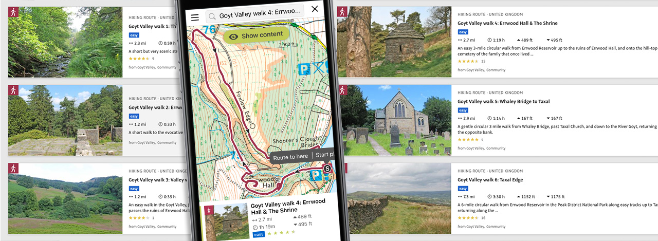
Above: Following a walk on a tracking app is very easy these days, although a back-up battery can be a life-saver!
Using OutdoorActive
There are quite a few walking apps that make following a walk route on a phone really easy. My favourite was ViewRanger, and I’d put all my Goyt Valley routes on there. But the app was recently taken over by a rival, OutdoorActive, and lots of people – including me – complained that it’s not as reliable or simple to use. But it does seem to have improved recently.
I pay a small monthly subscription, but there is a free option which seems works fine. The main advantages of upgrading are that it enables you to save routes, access OS maps, and avoid intrusive ads on the pages (click for more information).
There are quite a few alternative walking apps, the most popular including Ordnance Survey, AllTrails and Komoot. All of these allow you to import walking routes in the form of GPX files. I’m happy to send GPX files of the Goyt Valley walks to anyone who requests one via the contact page.
There are links to the OutdoorActive versions of all the Goyt Valley routes on each walk description page. I’ve also created a collection of all of them on OutdoorActive. Click the link below to view the page.