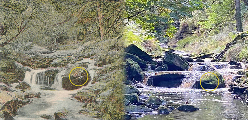
Above: There’s some 120 years between the two photos but it’s the same spot on the River Goyt. I’ve circled a niche on one of the twin boulders that clearly matches.
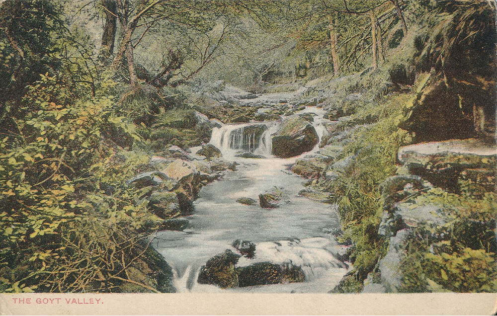
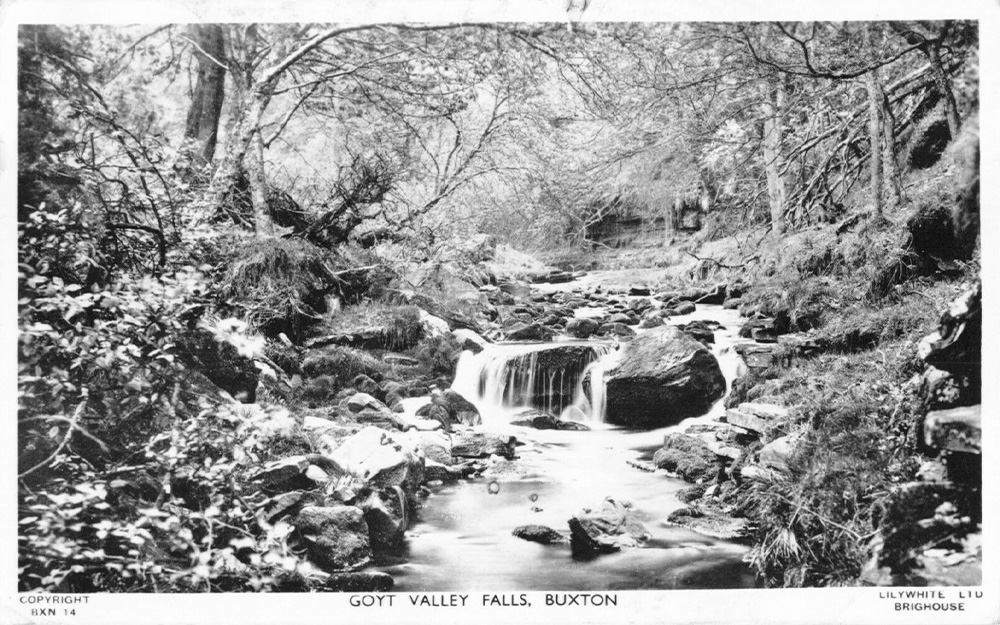
An attractive postcard view showing the River Goyt flowing over two large boulders has appeared on ebay a few times. The first one I’d seen dated back to 1904 (above). A more recent one was on a card post-marked 1967 (below), but I think this is just a black and white copy of the earlier hand-coloured one. I’ve always been curious to discover exactly where it was taken as it’s not a spot I recognised.
I hadn’t seen the boulders along the southern section of the Goyt – between Goytsclough and Errwood Reservoir. So I thought it might be north of Fernilee Reservoir – perhaps after Taxal, where the river starts to widen. But since the photo was taken before the twin reservoirs were constructed, they could also now be lying deep beneath the waters of either one.
I’m rarely tempted to bid for postcards on ebay as they can go for very inflated sums, but I often put them on the Goyt Valley Facebook page. I posted the 1960s card last week, asking whether anyone could identify the scene.
Someone suggested it could have been along Shooter’s Clough; the stream leading down past Errwood Hall that today flows under the modern bridge into Errwood Reservoir. But it was Sue and her husband Tim who managed to find the exact spot by donning their wellies a few days ago.
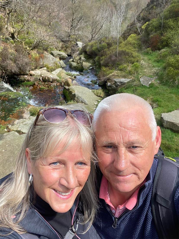
Above: Sue and Tim pictured close to the packhorse bridge following their journey of discovery!
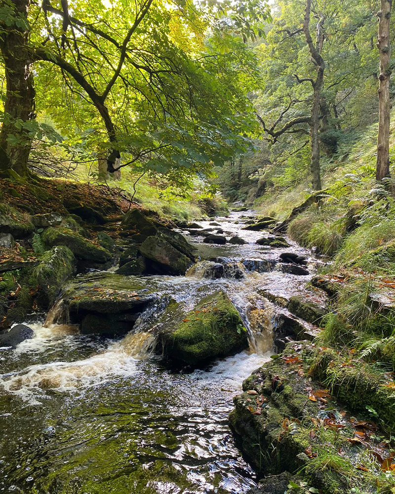
Above: A wonderfully picturesque view looking south along the Goyt taken by Sue with the twin boulders in the foreground.
The distinctive niche at the front of the stone on the right can clearly be matched on the old postcard views. So there’s no doubt Sue and Tim managed to solve the mystery. I asked Sue to explain how they managed to find it:
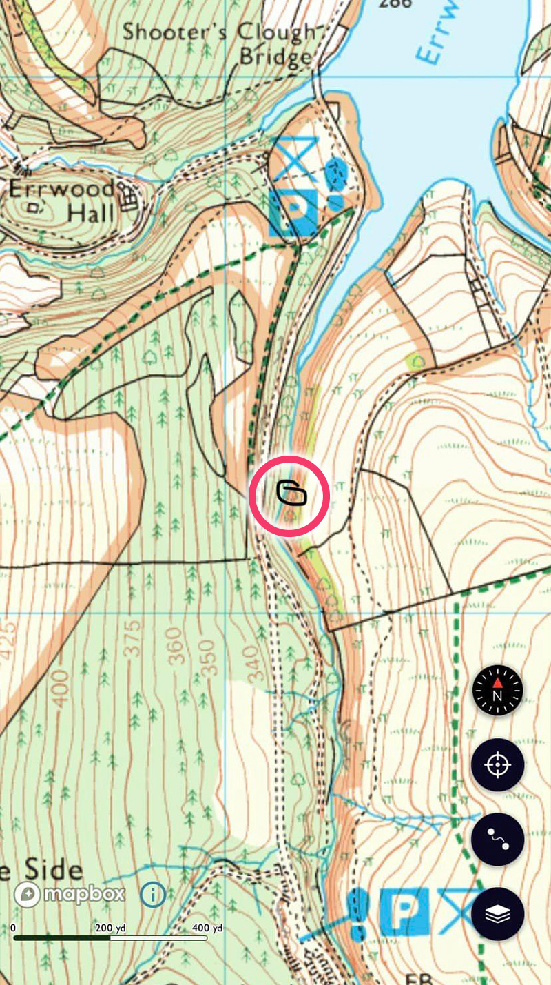
We recorded the position on our walking app. The modern bridge is at the top, with Errwood Hall car park just below. Goytsclough is at the south, and the packhorse bridge is just out of the frame at the very bottom.
It would have been difficult to have approached it from the south, but the recent drought meant we we were able to follow the Goyt upstream, from where it flows into Errwood Reservoir.
It was a bit of a scramble at times, and we definitely needed our wellington boots, but it was great to be able to match the view in the old postcards.
