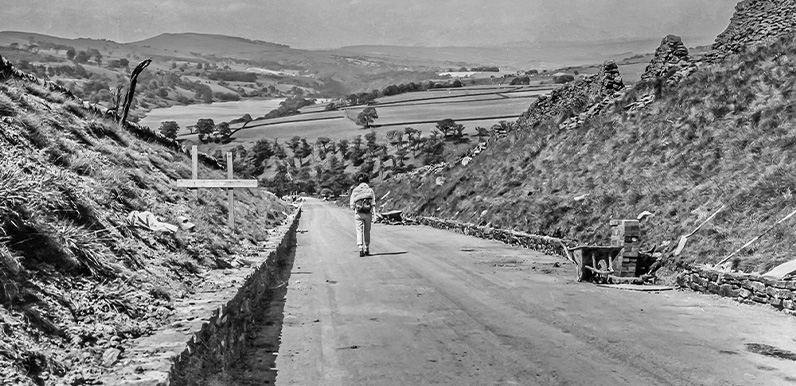
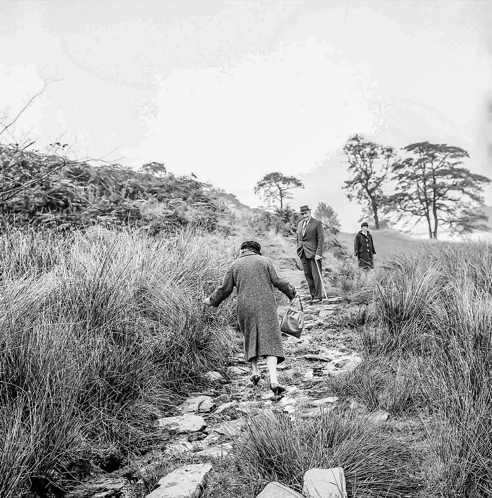
Above: A wonderful view looking down Bunsall Incline as it was being resurfaced.
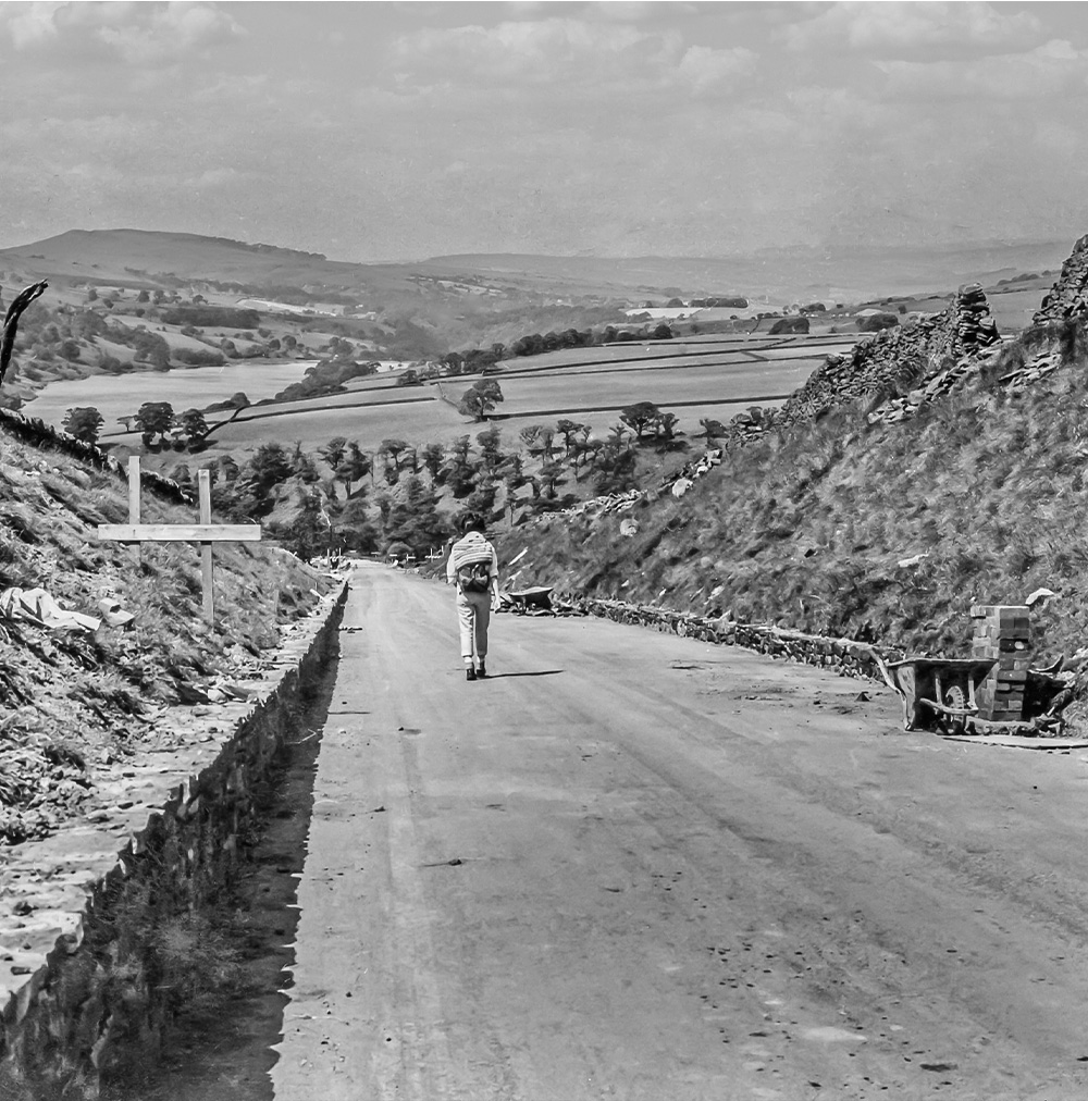
It was once the longest and steepest of six inclines on the Cromford & High Peak Railway, but had been abandoned in 1892 when an easier route was opened through Buxton.
Today it’s the main route into the Goyt Valley from the Buxton to Whaley Bridge Long Hill Road.
Many thanks to retired photographer Dickie Bird for sending these photos taken on walks he made to the Goyt Valley in 1967 with his girlfriend, Hilary (later to be his wife of some 40 years), and his mother and father. I asked Dickie how he came to take the pictures:
I was born in Nottingham but moved to Sheffield when I was just six months old after my father changed job. We did a lot of walking in Derbyshire and this got me interested in metal-mining, which has been my main free-time study ever since, including overseas.
I spent all my working life in the photographic ‘black arts’, and for the last 32 years of my working life I operated my own photography business, latterly specialising in aerial photography.
Simply click on any photo to enlarge. And click here for a wonderful video Dickie posted on YouTube of him exploring various local mines between the 1960s and ’80s.
Dickie’s future wife, Hillary, walking down Bunsall Incline during the resurfacing of the old railway line.
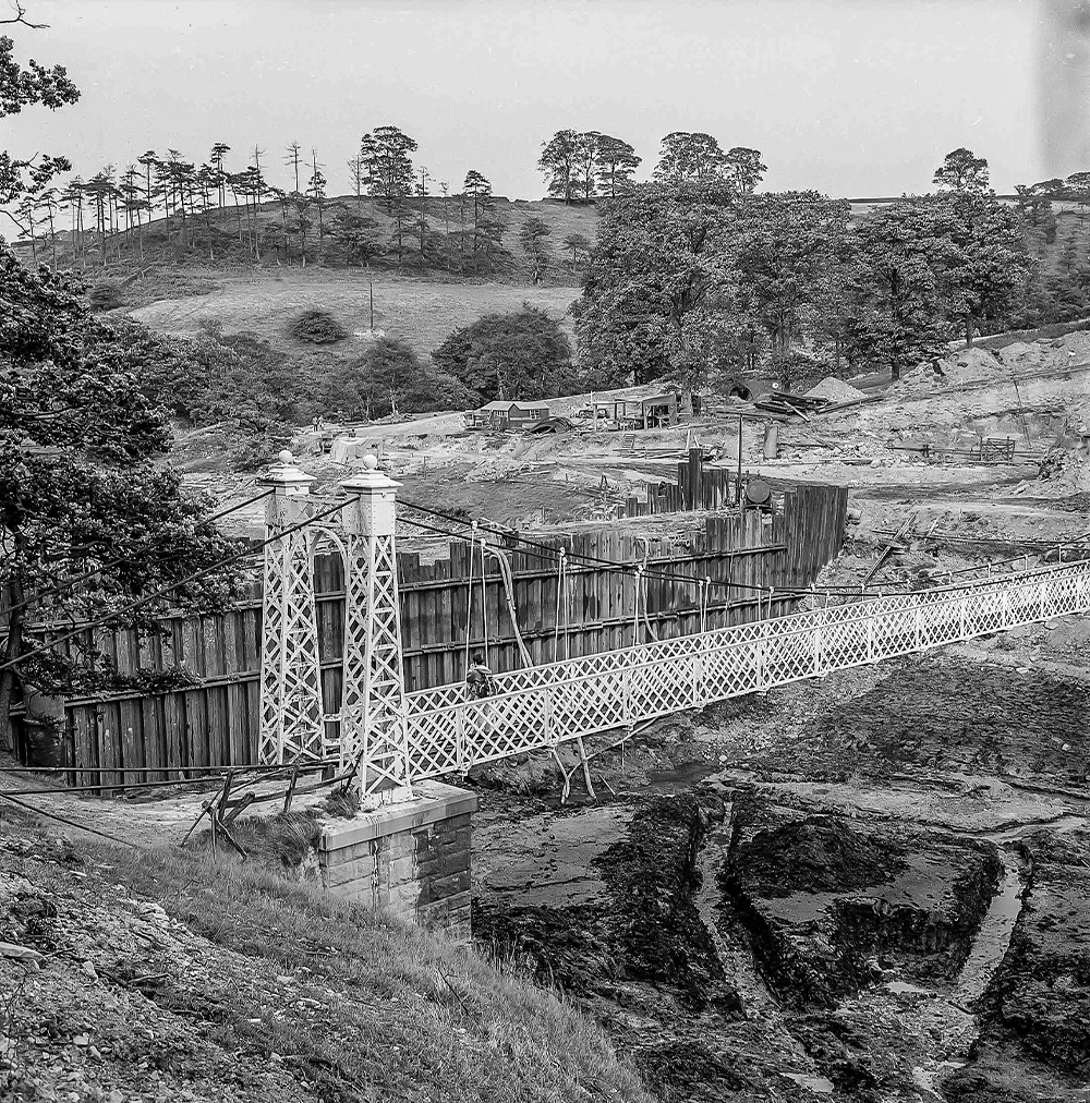
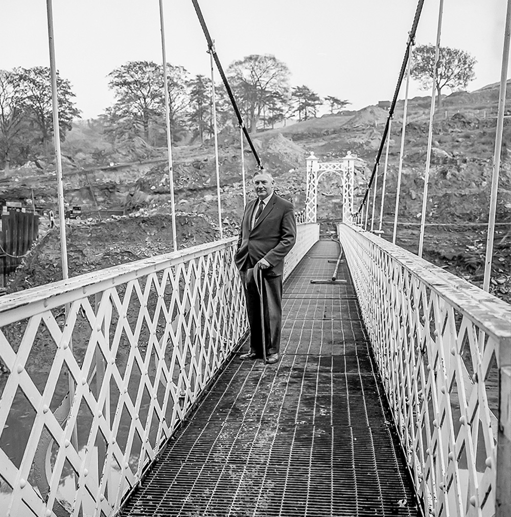
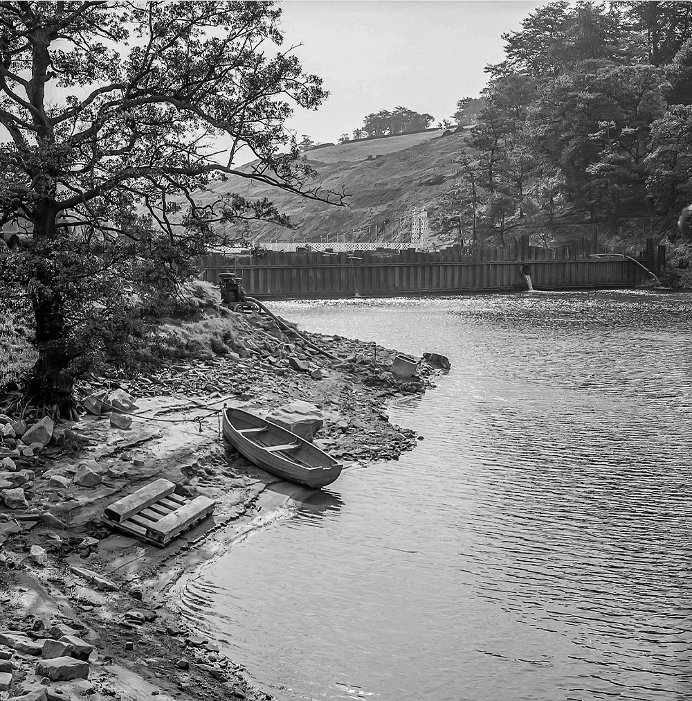
The suspension bridge which once spanned the southern end of Fernilee Reservoir (click for info).
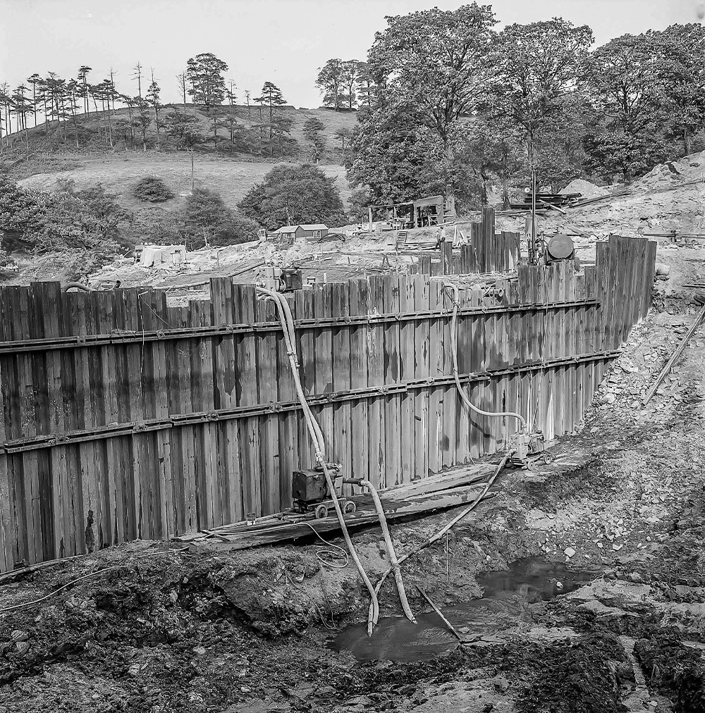
A view from the bridge of shuttering which held the water back during the completion of Errwood Reservoir.
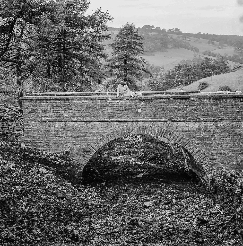
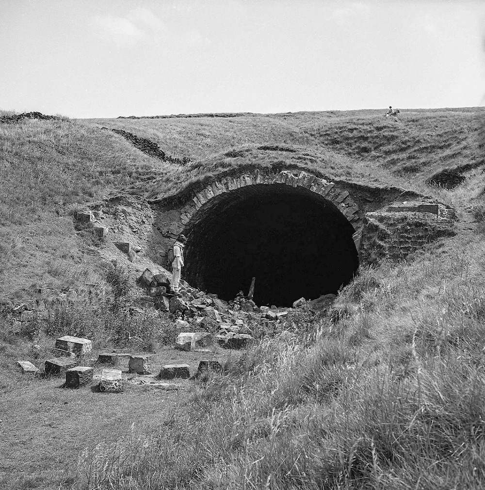
Hilary looks into the now blocked-off railway tunnel which linked canals at Cromford and Whaley Bridge (click for more).
