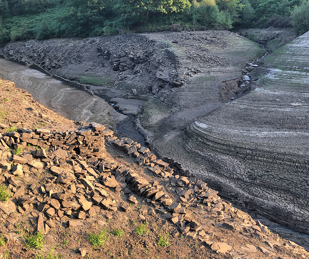
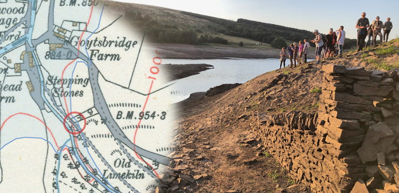
Above: The red circle shows where the photographs above and below were taken – on the track from the second set of stepping stones in Goyt’s Bridge. The one above looking down to the now-sunken hamlet.
Back in late August 2022, when the water level in Errwood Reservoir dropped significantly, a number of features in the landscape rose above the surface, including the remains of many stone walls.
One section that appeared at the southeast tip intrigued me and I’ve just realised it must have bordered the path leading to the second set of stepping stones in Goyt’s Bridge (see previous post).

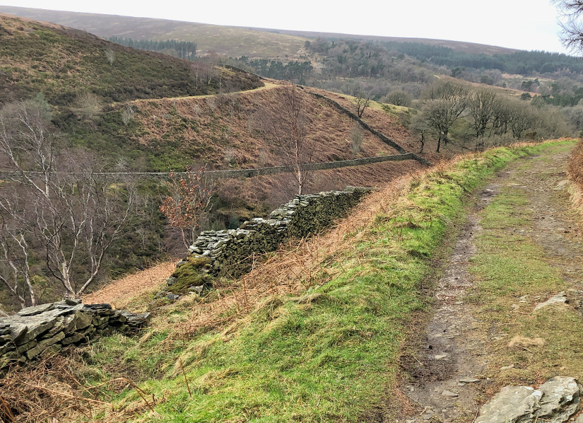
Above: This photo was taken in the other direction, looking up the track as it rises, with Wildmoorestone Brook hidden in the valley below. I checked the geo-location of the photo and circled it in red on the map below.
Above: Click either button – or drag the slider – to fade between an early 1900s map of Goyt’s Bridge and today’s satellite view.
I’ve highlighted the track from the stepping stones as it rose up the slope to meet the popular footpath which now leads to the tunnel entrance on the C&HP Railway (see walk 27).
I was interested to see if I could discover any signs of the track today. I found it by heading down through the ferns behind the bird-feeder tree at the bottom of Goyt’s Lane.
The first part was very overgrown and would be even harder when the ferns were out. But after a short distance I soon picked up the path as it ran to the left of a stone wall.

There are wonderful views from the track, through broken sections of the stone wall, of Wildmoorestone Brook as it winds through the valley floor below.
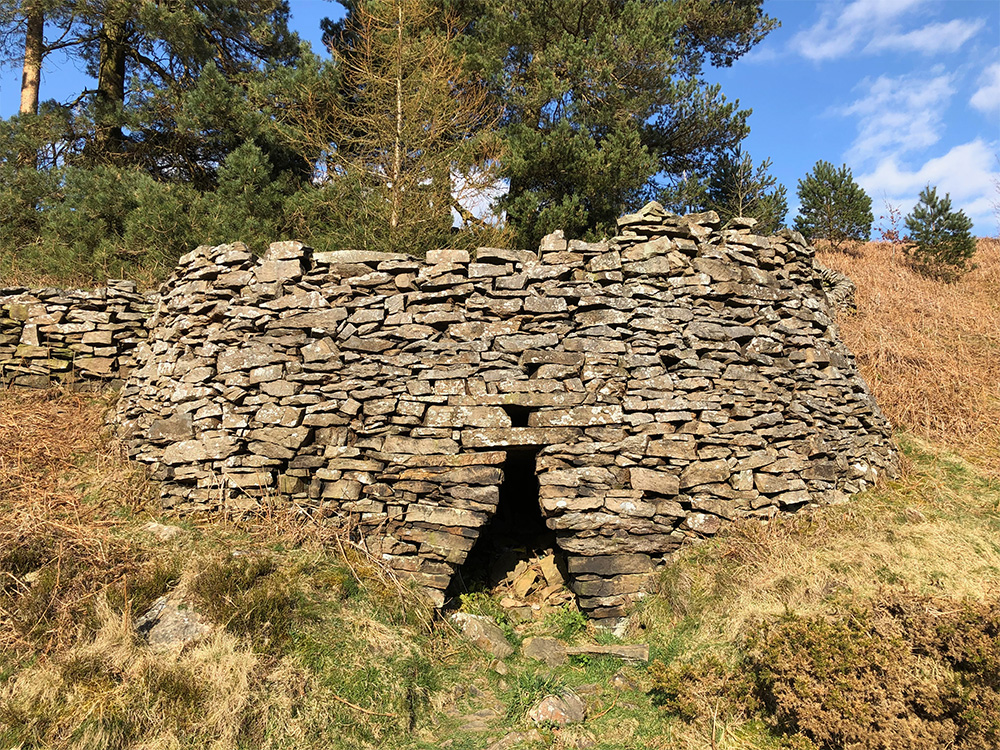
The path eventually joins the main track (above). Turning left from here, back towards Goyt’s Lane, the old limekiln soon comes into view on the right.

The limekiln is also marked on the old map (click for more on the kiln). I’d guess that some lime from the kiln would have been transported along the path as it may have provided an easier route into Goyt’s Bridge than the steeper slope along Goyt’s Lane.

