Above: Click to enlarge a map of the route. And click here to view step-by-step instructions and photos. With the nights drawing in and winter fast approaching, I thought I’d take advantage of a recent break in the weather to capture the glorious...
Above: An example of what a difference a bit of sunshine can make! On the left is the previous photo from walk 15 Errwood to Goytsclough taken in March 2016. And on the right is the same view retaken in July 2019. I’ve been spending some time tidying up the...
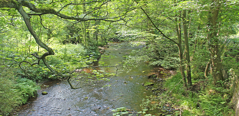
Above: The wonderfully picturesque view from the bridge over the Goyt at Taxal (point 3 on the map below). Above: click to expand map. Some time ago Irene got in touch to ask how easy it was to get to the Goyt Valley using public transport. And my blunt answer was...
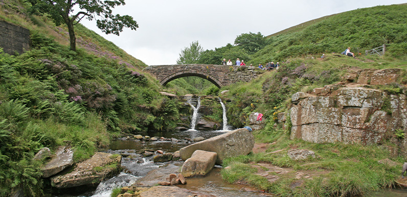
Above: A photo taken in summer from Pannier Pools up to one of the two packhorse bridges at Three Shires Head. The name came from the pannier bags slung across either side of the packhorses. It’s been a while since I’ve added another walk to the series (up...
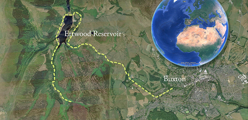
I chose the 8-mile circular walk from Buxton to Errwood Reservoir to create this Google Earth test as it’s one of the most popular – and longest – on the site. Please let me know if you enjoy it, or have any suggestions for making improvements....
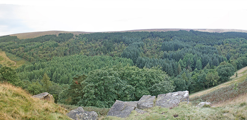
Thanks to the work of the Forestry Commission in clearing a lot of the fir trees, there are now some great views across the valley from the first section, along the wide woodland track. And the return path, alongside the western shore of the reservoir, is always...
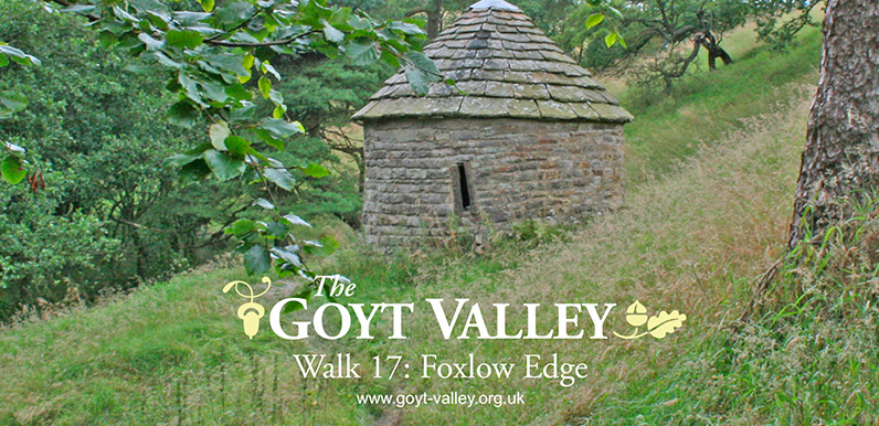
Walk 17 along Foxlow Edge starts from a small lay-by on the old Roman road known as ‘The Street’. It passes St. Joseph’s Shrine (above), and includes some wonderful panoramic views. I’ve just added the video for walk 17: a short, 1.5 mile...
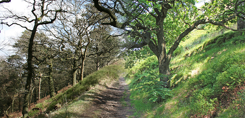
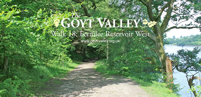
Above: This attractive footpath is at around point 9 on the map below. Above: The walk starts from the small carpark at the northern end of Fernilee Reservoir. (Click to enlarge.) I’ve just added walk 18 to the series: Fernilee Reservoir west bank. It’s...
Above: The walk starts from a small lay-by on the old Roman road known as ‘The Street’. (Click to enlarge.) This 1½ mile walk along Foxlow Edge, returning via the narrow path to St Joseph’s Shrine, is one of the shortest in the series. It’s an...
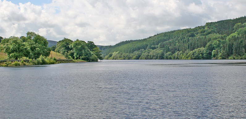
Above: The walk starts from the small car park at the foot of the Bunsall Incline. (Click to enlarge.) I’ve just added walk number 16 to the series: a simple three-mile stroll around Fernilee Reservoir. I’d been saving it for when the weather improved so...