Goyt Valley walk 1: The Riverside
Walk distance: 2 miles | Date recorded: March 2011 (updated July 2019)
Start point: Errwood Hall car park | Google Map
Map app: View on OutdoorActive | Contact me for GPX file
This short walk is probably the easiest in this series, but includes one of the most scenic spots in the valley, as it runs down to the River Goyt (which is very much a stream at this point).
The section between points 4 and 5 is along a solid track making it ideal for wheelchair users, or those with small children and pushchairs. And there’s a small layby just beyond the gate to park.
There are also some great paces for picnics, alongside the Goyt. The walk then continues to the small packhorse bridge, just a short distance further, returning along the narrow lane (which is one-way traffic, going from the direction of the car park).
Above: A ‘Relive’ version of the walk recorded in July 2019. Click to play and use the expand option to view in full-screen. click here for more ‘Relives’.

Above: click to expand map.
Click here to download A4 pdf of map.
Above: click to expand map.
Click here to download A4 pdf of map.
1: The starting point is Errwood Hall car park, which is alongside Errwood Reservoir, just past the modern bridge. If the road is closed – which it is on Bank Holidays and Sundays between 1st May and 30th September – park at one of the other car parks on either side of the dam wall, and walk along the road to reach the starting point.
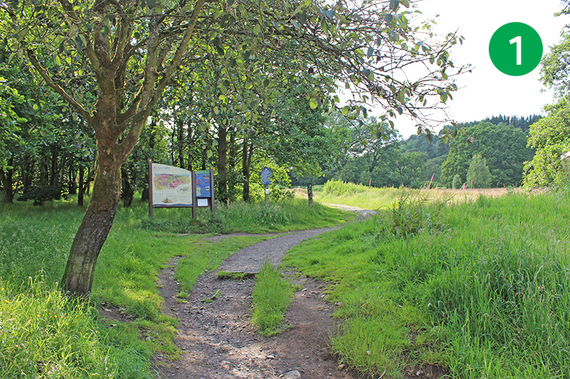
2: Walk up the grass slope, past the information board, go though a gap in the stone wall at the top, and turn left along the footpath.
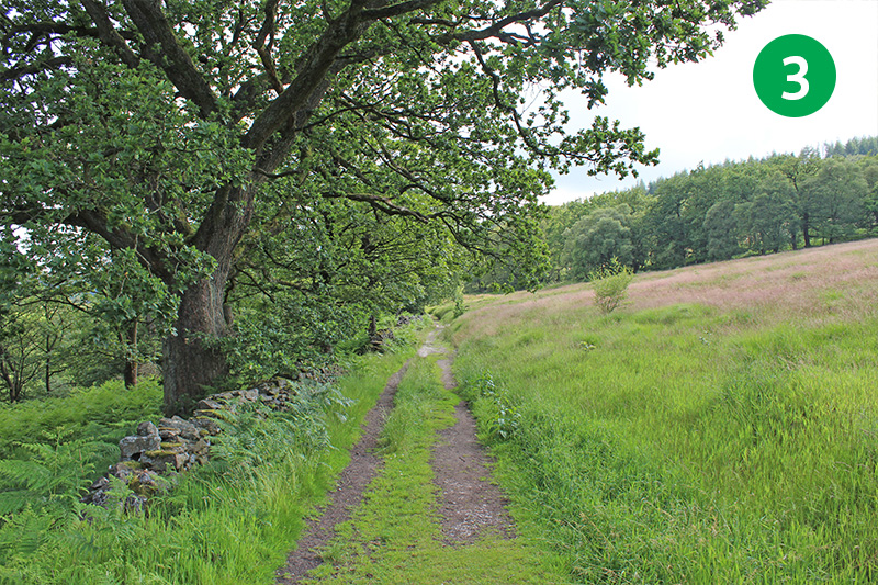
3: Keep along this path, with the stone wall on your left, all the way until you reach the narrow road.
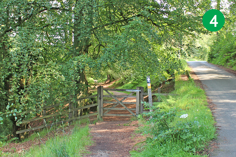
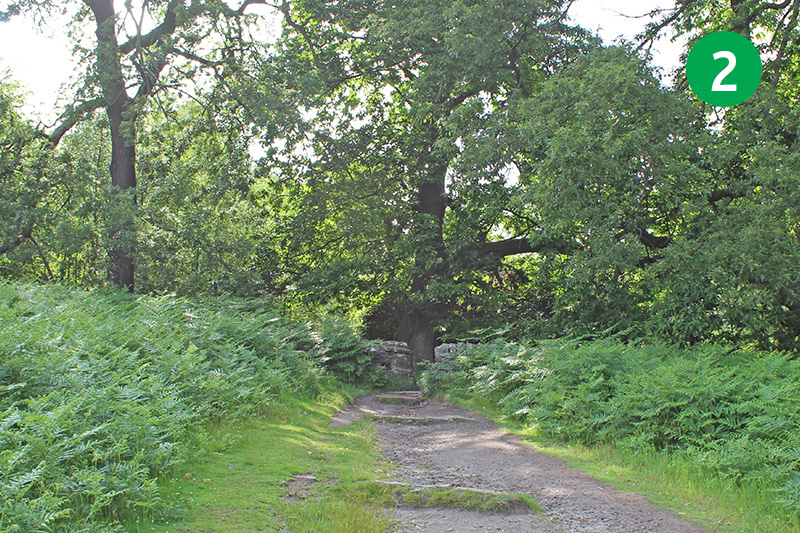
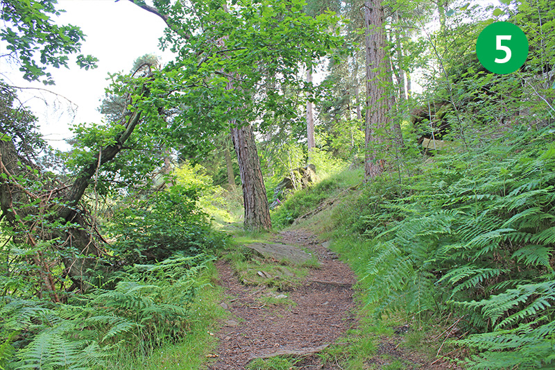
4: Cross the road and go through the wooden gate on the opposite side. This section of the walk is ideal for wheelchair users and baby-buggies. Follow the path as it gently slopes down to reach the River Goyt (which is very much a stream at this point).
5: The end of the Riverside path is a wonderfully scenic spot to rest a while, beside the Goyt. Follow the narrow track in the same direction, up a series of steps, to reach the single-track road, and turn left at the top.
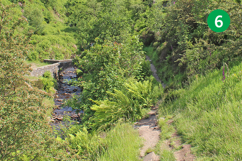
6: Walk past the open area on the right (which was once a loading area for Goytsclough stone quarry) to view the old packhorse bridge, nestling in the valley below. It was moved here from the drowned hamlet of Goyt’s Bridge in 1965 during the construction of Errwood Reservoir.
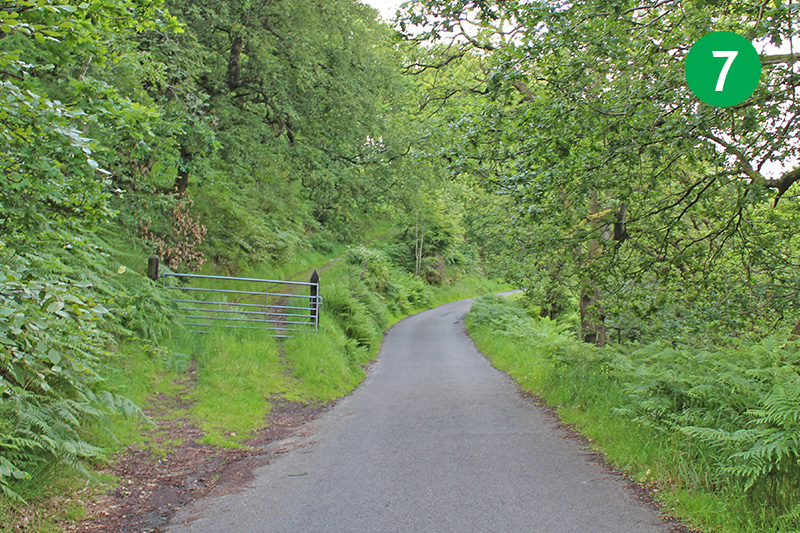
7: Retrace your steps and continue along the road to return to the car park. If you’re not keen on walking on tarmac, go back down to the Riverside path, cross the road as you exit, and follow the path on the left as it rises up the slope. At the end of this path you could either turn right to return to the car park, or turn left to visit the ruins of Errwood Hall.
This YouTube video was created with photos taken when the walk was first recorded in March 2011. I’ve updated the photos since then as the walk looks so much better bathed in summer sunshine. But there’s something uniquely magical about the Valley in early spring. Click the expand link to view in full screen.