Goyt Valley walk 14: Fernilee circular
Walk distance: 4 miles | Date recorded: March 2016 (updated July 2019)
Start point: Goyt Valley main car park (SK17 6SX) | Google Map
GPX file: Just £1.50 | Download file
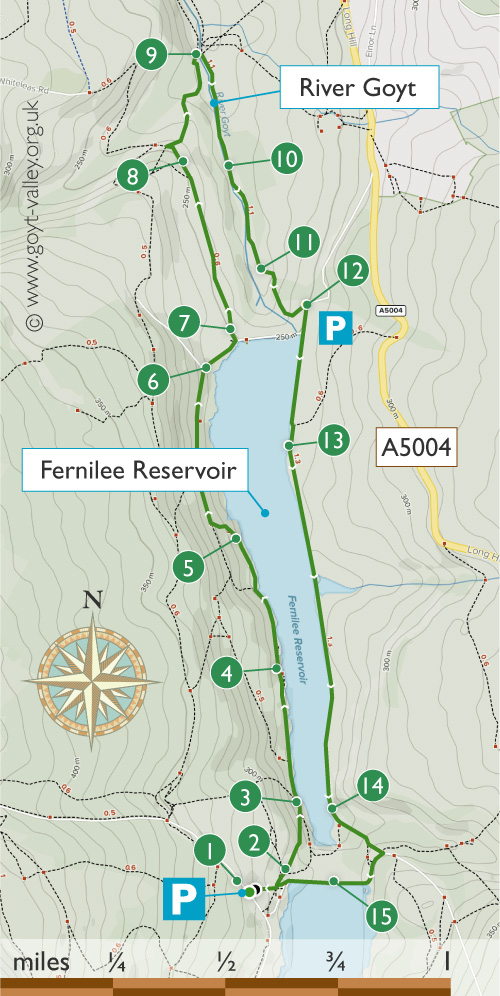
This easy, four-mile stroll around Fernilee Reservoir is a walk of two halves. The western path is through woodland, and the opposite side along a disused railway track.
It’s possible to slightly shorten this walk by simply crossing the dam wall at the northern end of the reservoir. But I prefer to go a little further, crossing the Goyt about half a mile down stream.
The return path along the river bank reveals the picturesque scenery which was lost forever following the construction of the twin reservoirs.
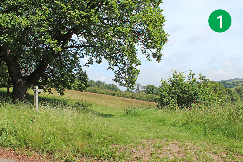
1: Exiting from the main car park between Errwood and Fernilee Reservoirs, head diagonally left, following the sign to Fernilee Reservoir.
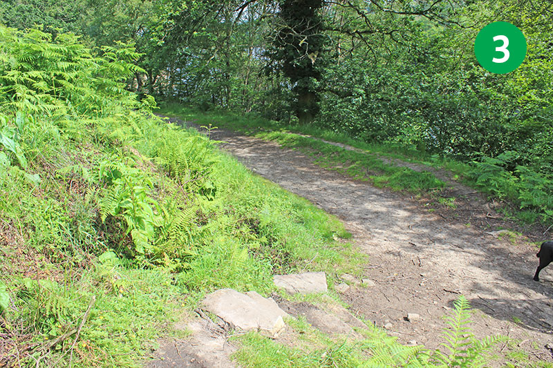
3: Turn left when you reach the shoreline path. You could turn left up the slope after a short distance, following the sign ‘Woodland Walk’. If you go this route, simply turn right when you reach the top to rejoin this walk. But to follow the map, keep along the level track.
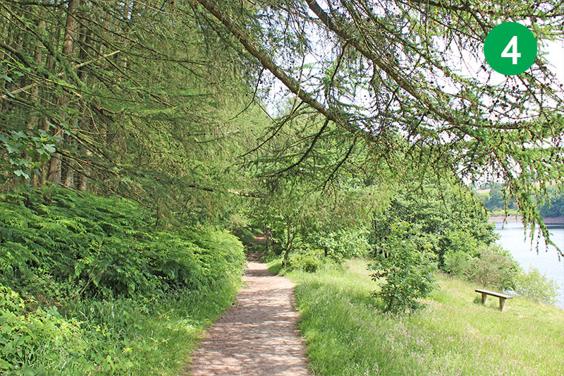
4: There are a number of benches on the right of the shoreline path which provide great views across the reservoir.
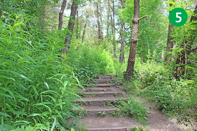
5: Follow the path as it slopes up from the waters, climbing a series of gently-rising steps, and turning right when you reach the top. (It’s at this point that it joins the ‘Woodland Walk’.)
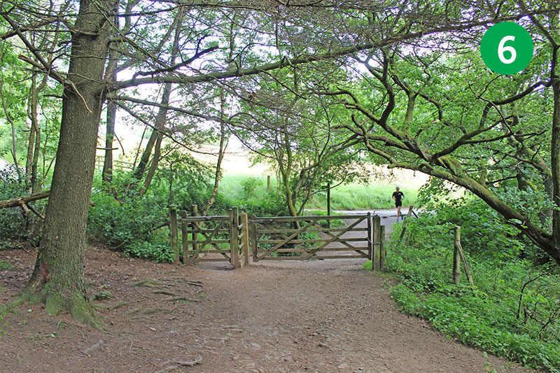
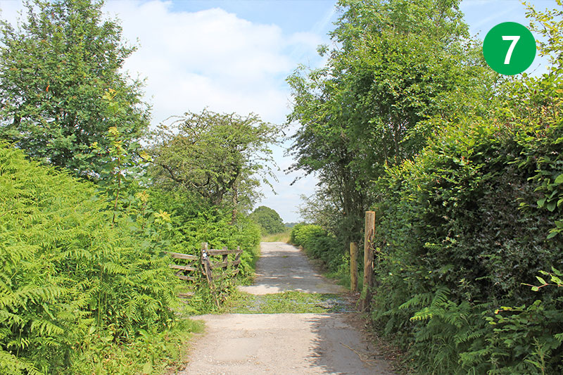
7: You soon reach the northern end of Fernilee Reservoir. To shorten the walk, cross the dam wall and turn right along the far shore of the reservoir. But to continue this walk, take the narrow road in the same direction, along a farm track.
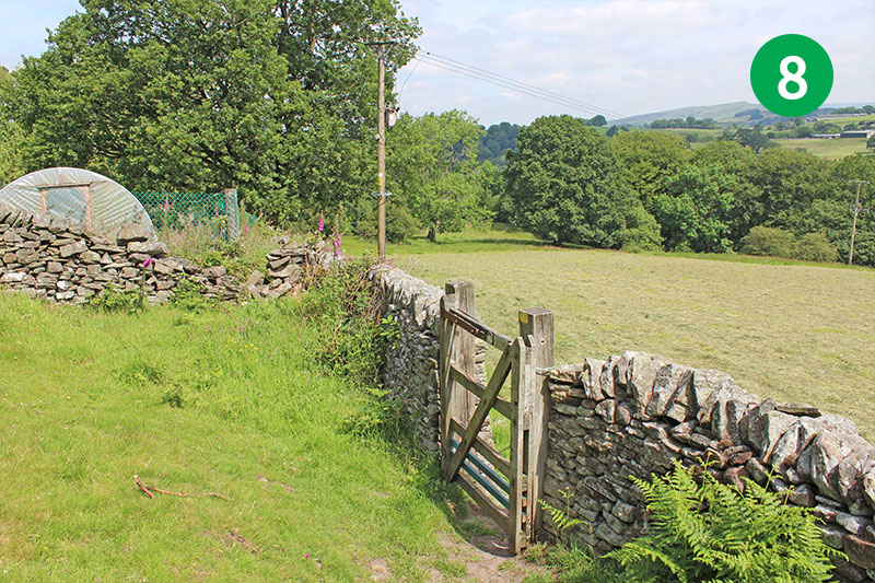
8: At the end of the track, look out for a small gate in the stone wall on your right. Go through here and turn left, and then over a stile to follow the path down the slope.
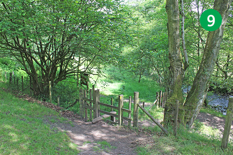
9: Go through a farm gate at the end of the field, and then follow the track as it winds first to the right and then to the left, down the slope. Go over a small footbridge and then a stile, and cross the concrete bridge over the Goyt.
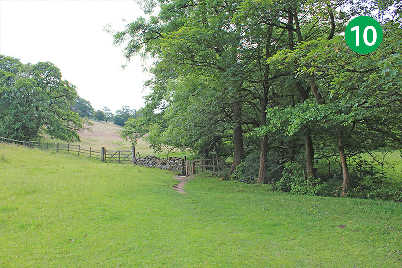
10: Head right, keeping the Goyt on your right, and follow the path through a series of gates. The views here reveal the natural beauty lost following the construction of the twin reservoirs. This magical scenery extended all the way though the lost village of Goyt’s Bridge, and eventually to Derbyshire Bridge.
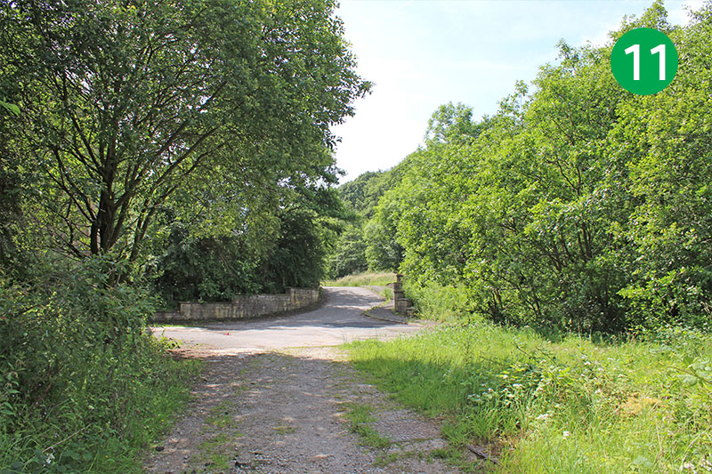
11: Continue in the same direction as the path widens, past a building on the left, and follow the narrow road up the slope until you reach the top.
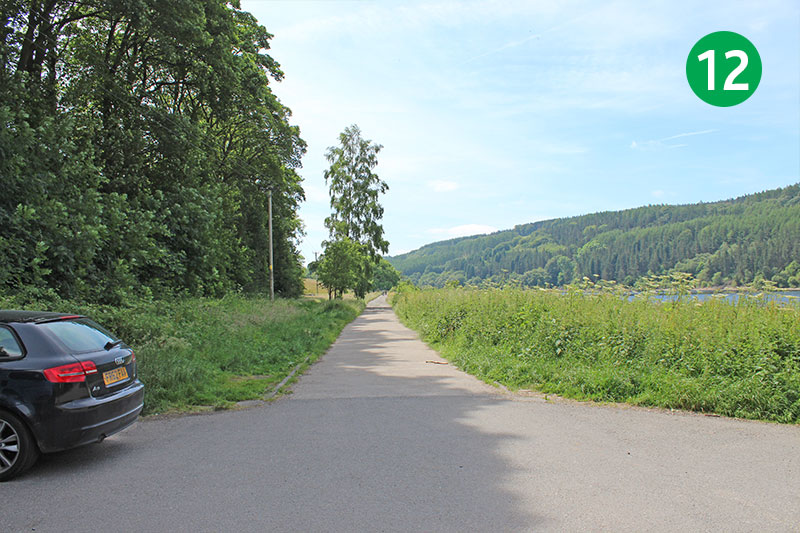
12: Turn right, go through the small car park, and follow the path which runs alongside the reservoir (with the water to your right). This was once the track of the Cromford & High Peak Railway. (If you walk slightly further from the top of the slope, and looked left across a metal barrier, you will see the track disappearing into the distance.)
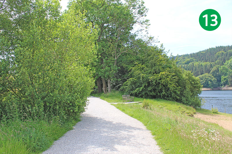
13: This track takes you all the way back to the southern end of Fernilee Reservoir. As the track bends slightly to the left, look out over the waters. Below here lie the remains of a gunpowder factory which once employed over 100 men. (Click for details.)
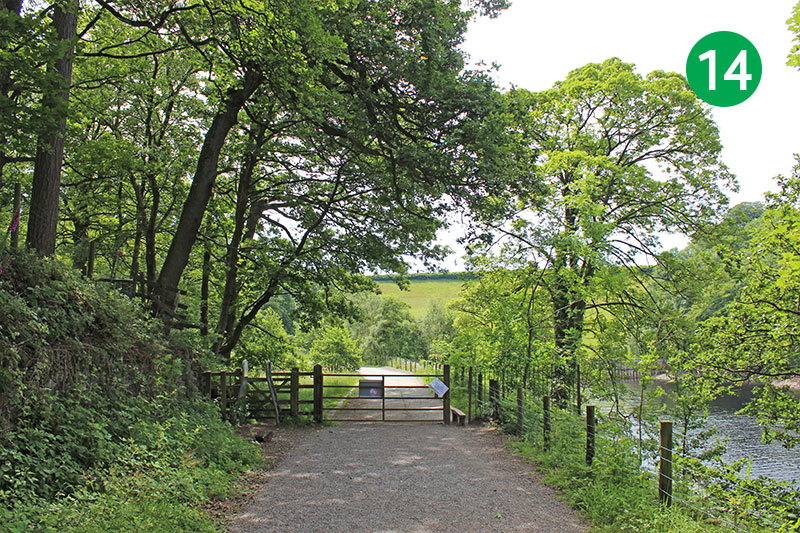
14: Go through a metal gate at the end of the path and follow the wider track as it winds up the slope.
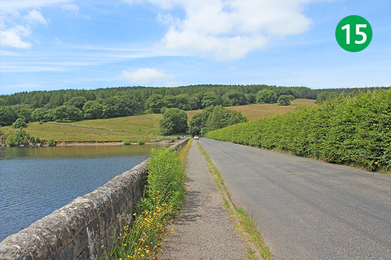
1: Turn right and follow the road over the dam wall separating the twin reservoirs. The main car park is straight ahead.
This YouTube video was created using photos taken when I first recorded the walk in March 2016. I’ve updated the photos since then as the walk looks so much better bathed in summer sunshine. But there’s always something uniquely magical about the Valley in early spring.

