Goyt Valley walk 8: Shining Tor
Walk distance: 6 miles | Date recorded: July 2011
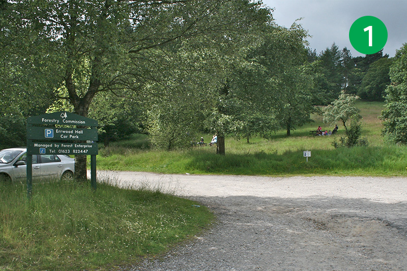
Start point: Errwood Hall car park | Google Map
Map app: View on OutdoorActive | Contact me for GPX file
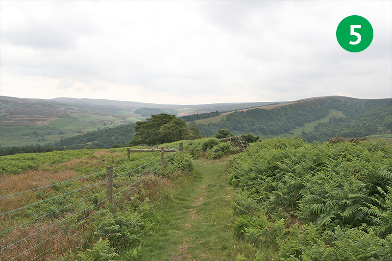
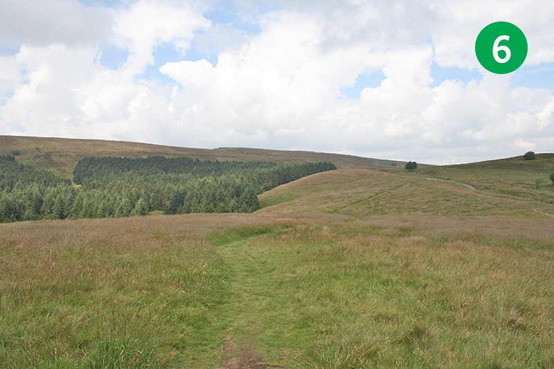
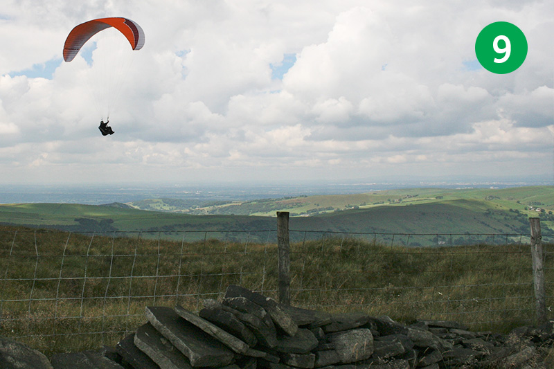
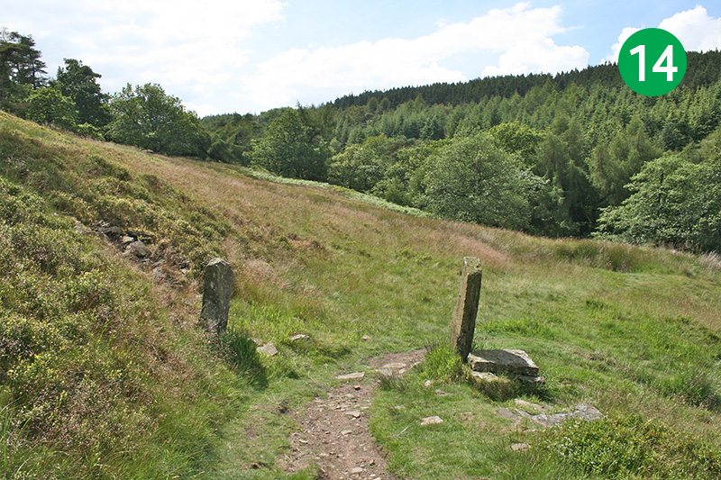
At just over six miles, this walk from Errwood Reservoir up to Shining Tor is one of the longest in the series. There are a few uphill slopes along the way, and a mile-long section across open moorland, but the rewards are some stunning panoramic views. Parts of the walk can get muddy, so walking boots are recommended.
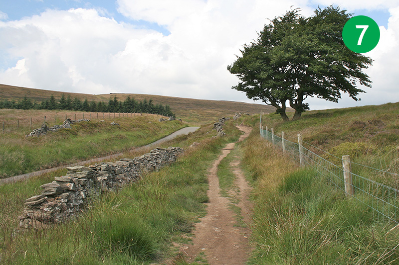
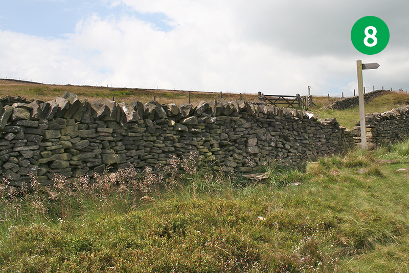
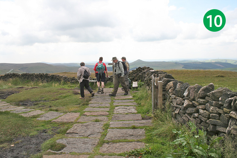
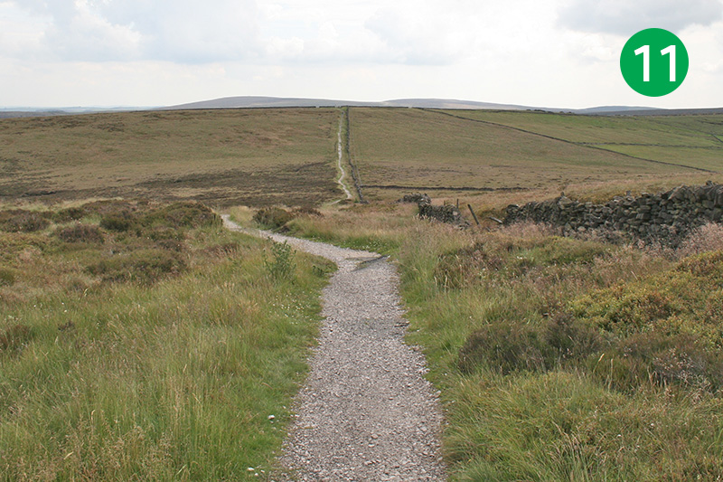
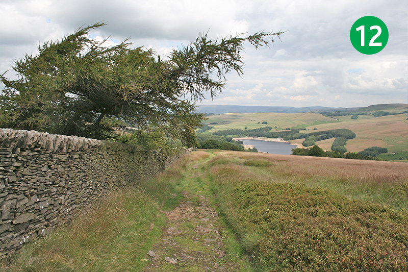
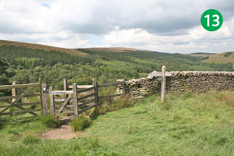
The path leads along Foxlow Edge, then a short distance along the old Roman road known as The Street, before heading along the ridge line towards Shining Tor. The path from the Tor leads all the way back to the reservoir, but I enjoy taking a detour along the small footpath down Shooter’s Clough, and on to the ruins of Errwood Hall.

Above: Click map to expand.
Download a printable A4 map.
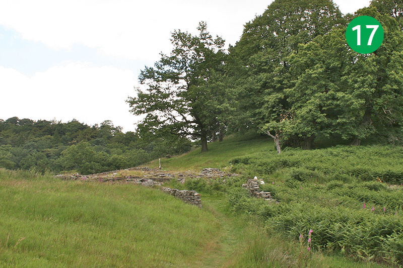
17: The walls just a little further on the right once surrounded vegetable gardens which provided produce to Errwood Hall. And at the end of the path are the ruins of Castedge Farmhouse. All these buildings were destroyed in 1934 during the construction of Fernilee Reservoir. To continue the walk, go down the path which runs down the slope to the left of the ruins. Important update: see note below the walk description.
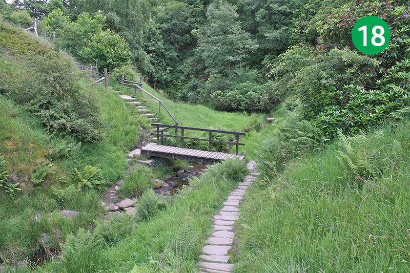
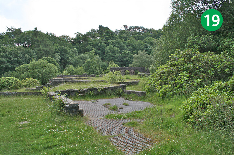
18: Cross the stream over a small footbridge, and turn right half way up the other side to cross the stream over a series of stepping stones. Follow this path all the way to the ruins of Errwood Hall. There’s lots of photos and information on this website about the hall, the Grimshawe family, as well all the fine buildings which were destroyed.
View on YouTube
I created a couple of YouTube videos of this walk. The first an animation of photos taken along the route. And the second a Google Earth ‘fly thru‘. Click either to play, and the expand button to view in full screen.