Goyt Valley walk 19: Axe Edge Moor
Walk distance: 7 miles | Date recorded: October 2018
Start point: Derbyshire Bridge car park (SK11 0AR*) | Google Map
Map app: View on OutdoorActive | Contact me for GPX file

Above: Click map to expand.
View printable A4 map.
Above: A ‘Relive’ version of the walk with photos taken in October 2018. Click to play and use the expand option to view in full-screen. Click here for more Goyt Valley ‘Relives’.
Walk description & directions
Recorded during a gloriously bright autumn day, this easy 7-mile walk starts from the small carpark at Derbyshire Bridge, which is well signposted from close to the *Cat & Fiddle pub (SK11 0AR) on the A537 Buxton to Macclesfield road. The first section across moorland can get muddy, so wet days are probably best avoided. And walking boots are recommended.
The landscape is a lot more open – and bleak – than the Goyt valley, but it has its own rewards. The walk also crosses the River Dane, but it’s little more than a shallow stream at this point. And although it’s normally easy to cross, you may prefer to use a walking pole, especially if the water level has risen.
Update: Emma got in touch to say this walk isn’t suitable for dogs.
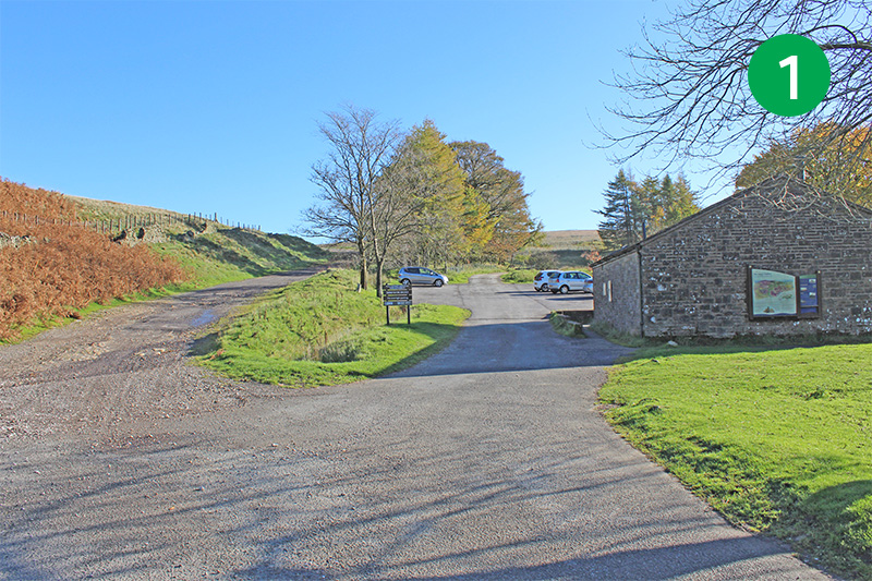
1: From the car park, take the wide track which rises gently up the slope to the right. This was once the main road between Macclesfield and Buxton before the route was improved to what is now the A537.
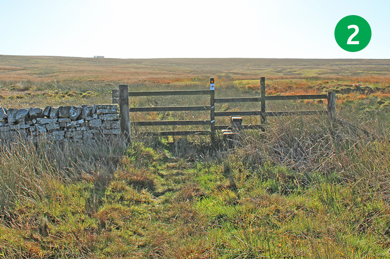
2: After a short distance, look out for a small stile on the right leading across open moorland. Go through here and follow the path across the open moorland. This can get a bit muddy and indistinct at times, but go straight ahead and slightly to the right.
3: You will soon see a stile on the right. Cross this and you soon reach a gravel track. Turn left along this path.
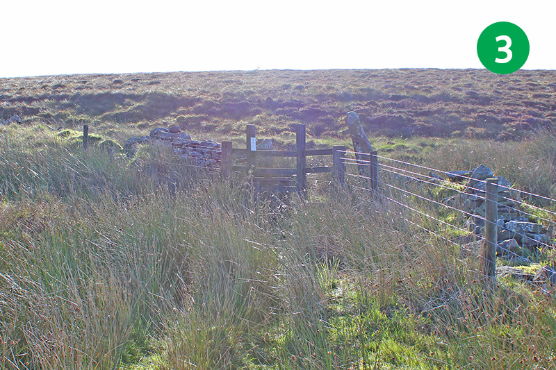
4: After a short distance you come to a stile on the left, with the modern Buxton to Macclesfield road on your right. Look out for a fairly indistinct path on the right leading to the main road. You should see a small gate on the opposite side of the road. Cross the road and head for the gate.
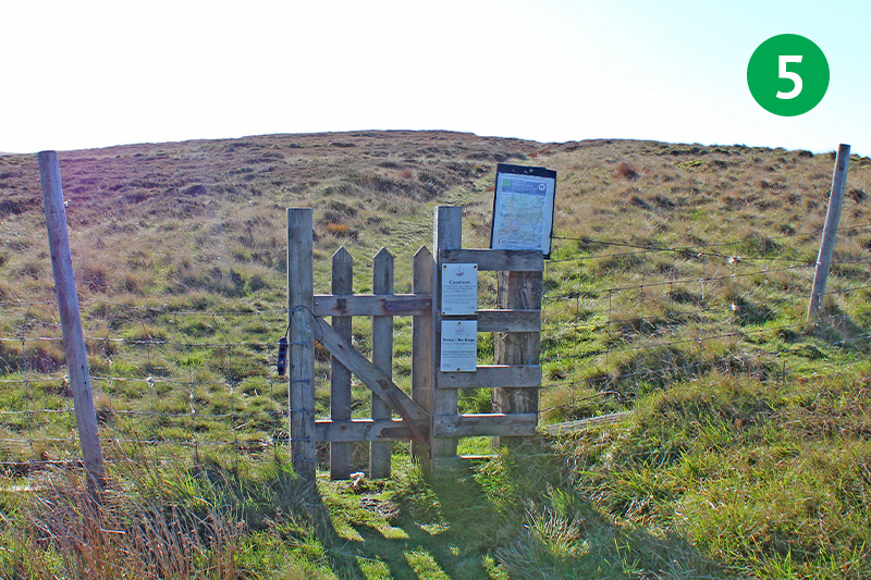
5: Go through the small gate and follow the obvious path up the slope.
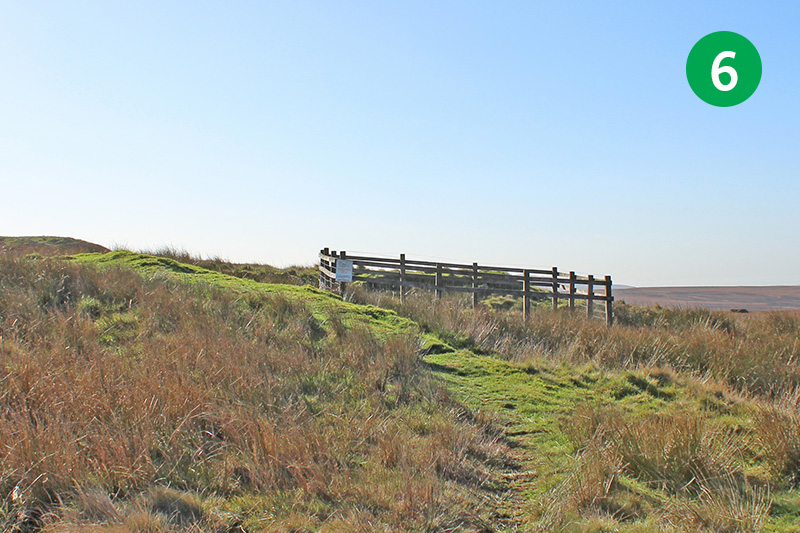
6: Keep to the left of the fenced area which protects an old coal pit. The area around here is dotted with these disused workings. (Click here for information about the local coal industry.)
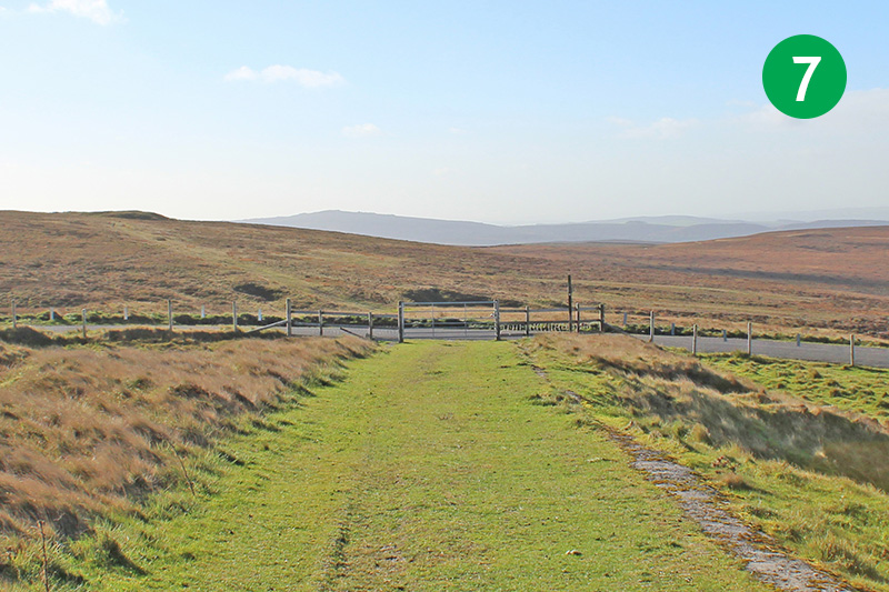
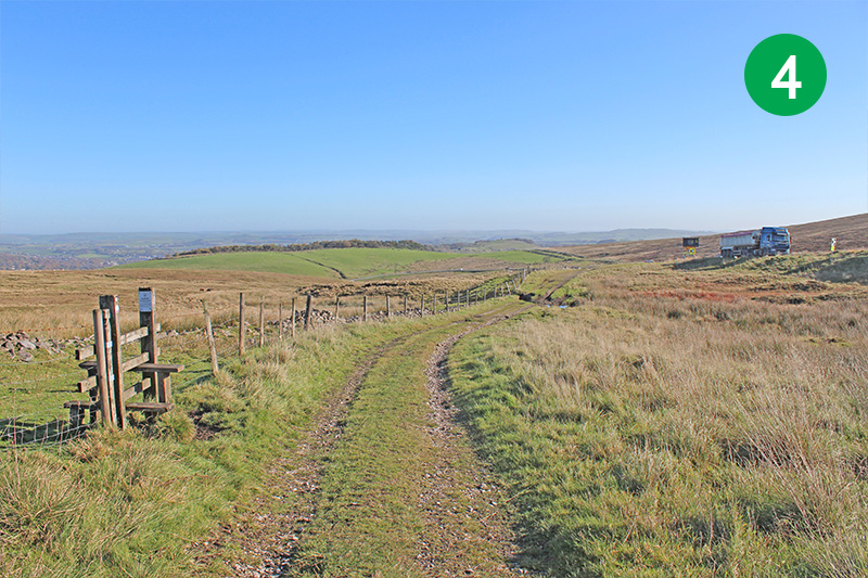
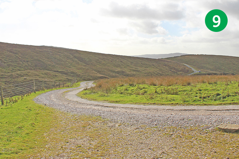
7: You eventually reach a wider path. Turn right and follow it all the way to the road.
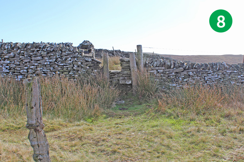
8: Cross the road and follow the path on the other side, slightly to your right, keeping in the same direction. You eventually reach a stile over a stone wall. Cross here and follow the obvious path leading down the slope to your right. Head right again when you reach a wider farm track.
9: Turn right at the next junction of farm tracks, up the slope towards Orchard Farm.
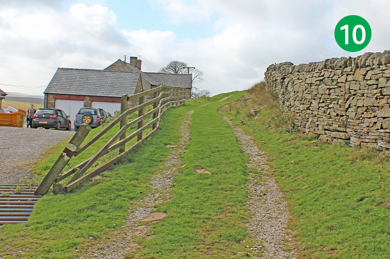
10: Follow the track to the right of the farm house, between wooden fencing and a stone wall.
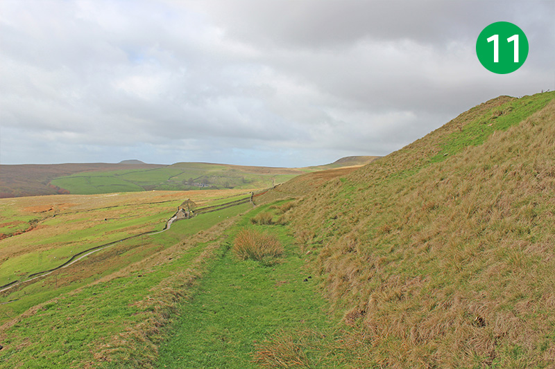
11: Keep on this rack for some distance, ignoring the path that goes down the slope to your left.
12: Keep the stone wall on your left as the track rises up the slope, and go through a gate at the top.
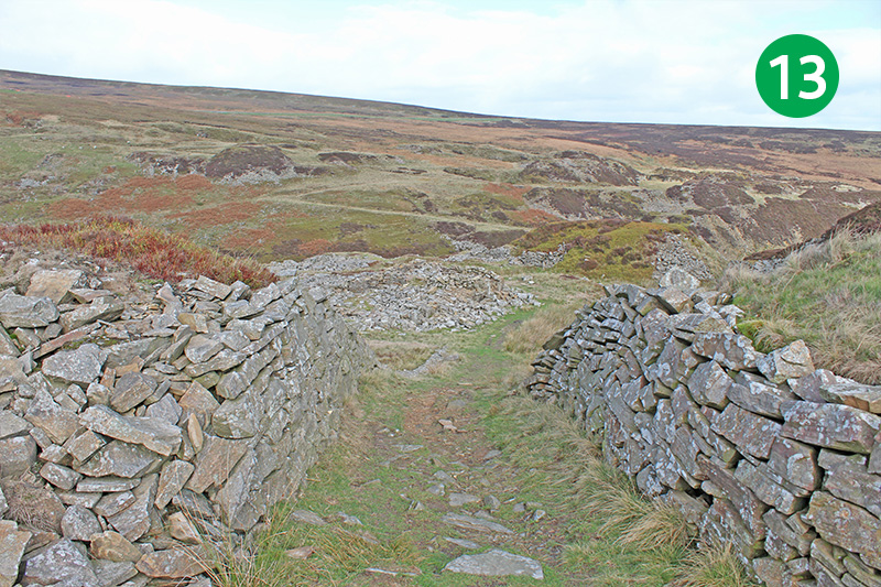
13: You soon reach the remains of Danebower Stone Quarry. At one time it must have been a hive of activity, but I’ve been unable to find anything about its history. Follow the obvious track through the workings, down the slope.
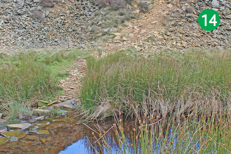
14: You eventually reach the River Dane, which is very much a stream at this point. At most times it’s fairly easy to cross. But it can pose more of an obstacle during wet weather, when a walking pole could be useful.
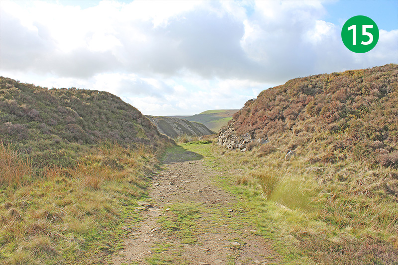
15: Climb the gravel slope on the other side and then follow the track around to the left.
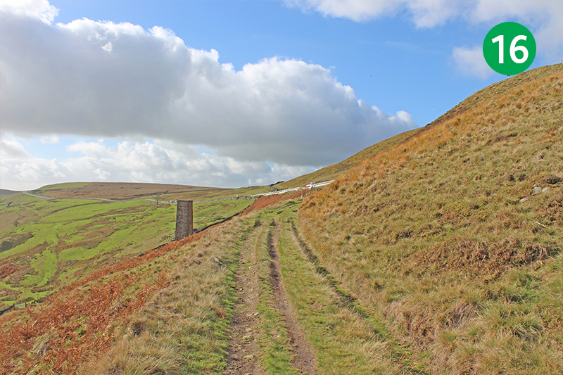
16: After some distance the track winds around to the left. The stone chimney on the left was a ventilation shaft for the coal workings. Continue along the path until you reach the A54.
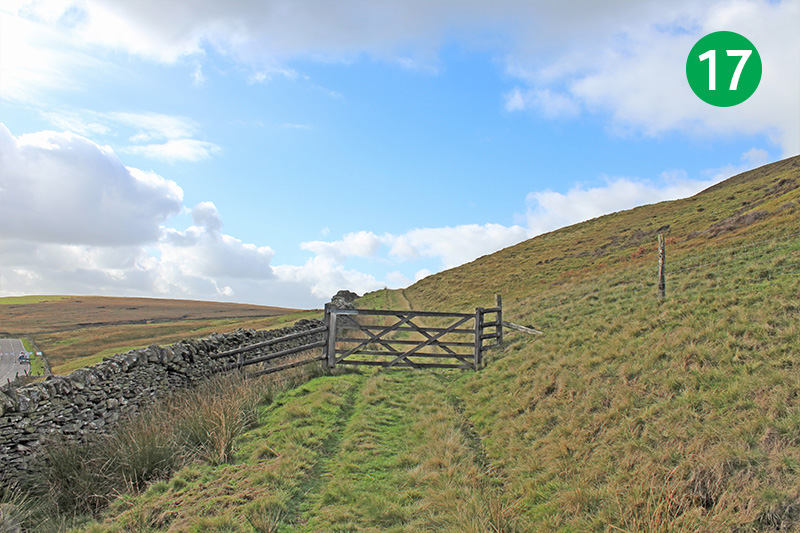
17: The road has recently been improved at this point, but without any consideration for the many walkers who want to cross it! Head for the farm gate on the other side, slightly to your left.
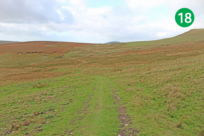
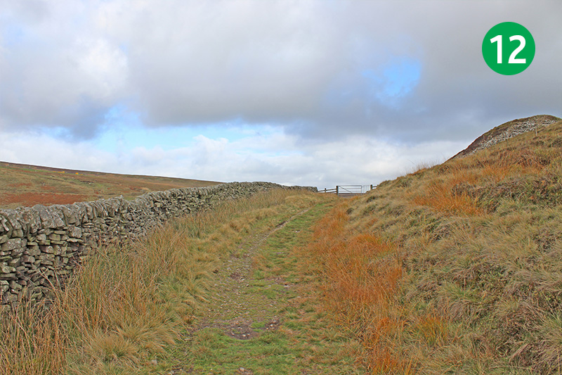
18: Keep along this path, with the stone wall on your left, for some distance until you exit through a pair of stone gateposts into an open area of moorland. Follow the obvious path leading straight ahead down the gentle slope.
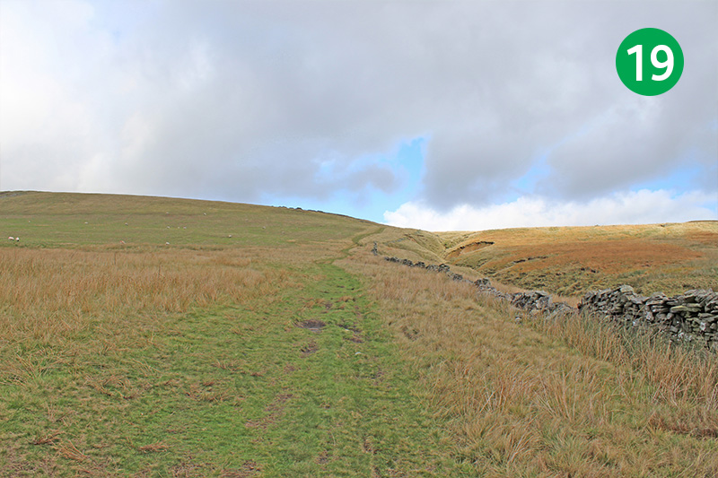
19: Eventually you come to a gap in a stone wall. Turn right here and follow the path up the slope.
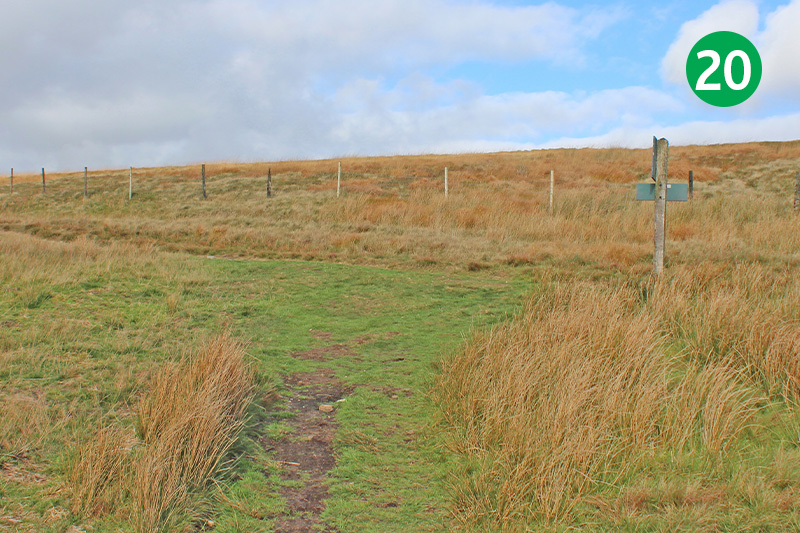
20: Follows this narrow track up the slope until you come to a junction of paths. A signpost points right towards Three Shires Head (see walk 20). Turn left following the arrow towards the Cat & Fiddle.
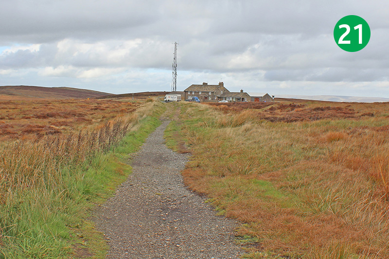
21: This narrow track eventually leads to the iconic old pub, which at the time of writing, has sadly been closed for nearly two years. There’s lots of old photos of the pub on the website showing its rich history.
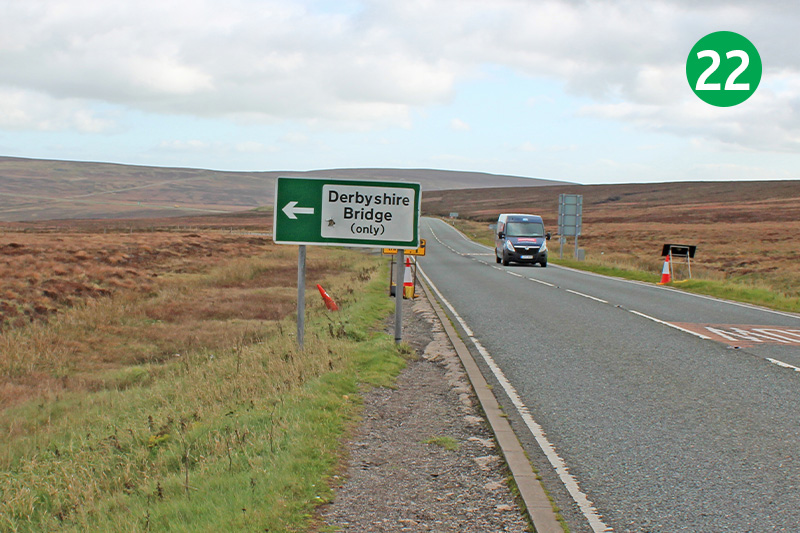
22: Cross the road to the pub and turn right along the busy road. There’s very little in the way of footpath along here, and the speed of traffic, especially heavy lorries, can be a bit un-nerving. But it’s only a short distance until you can turn off to the left, following the sign to Derbyshire Bridge.
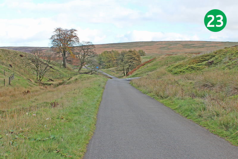
23: You are now back on the old Buxton to Macclesfield turnpike which leads all the way back to the carpark. The River Goyt rises a short distance to your right, and passes under the old road. There are toilets at the Rangers’ building which are normally open.