Walk 29: Joe Brown’s Numbers South
Walk distance: 8.5 miles | Date recorded: March 2025
Start point: The Street car park (SK23 7HB) | Google Map
GPX file: Contact me with walk number reference
This is the first of two walks following Joe Brown’s Numbers; an orienteering course created in the late 1960s by one of the UK’s most respected climbers during his early career working at the nearby White Hall Outdoor Centre. (Click here to read more about Joe’s challenge.)
The actual course starts at the gates of White Hall but it’s virtually impossible to complete in one day if you’re searching for clues. So I’ve divided it into two halves; this southern section of 8.5 miles, and a northern section of just over 12 miles (to follow), both starting from The Street car park.
Some of the clues can be very difficult to find and decipher. And one of the clues is completely wrong. So I’m going to create a crib sheet to help in an emergency*. I’d also recommend downloading a gpx file of the route and following it on a walking app. But I’m not so sure Joe would have approved!
*Contact me if you struggle with any clues before I’ve uploaded the crib sheets.
Above: A ‘Relive’ version of the walk. Click to play and use the expand option to view in full-screen. Click here for more Goyt Valley ‘Relives’.
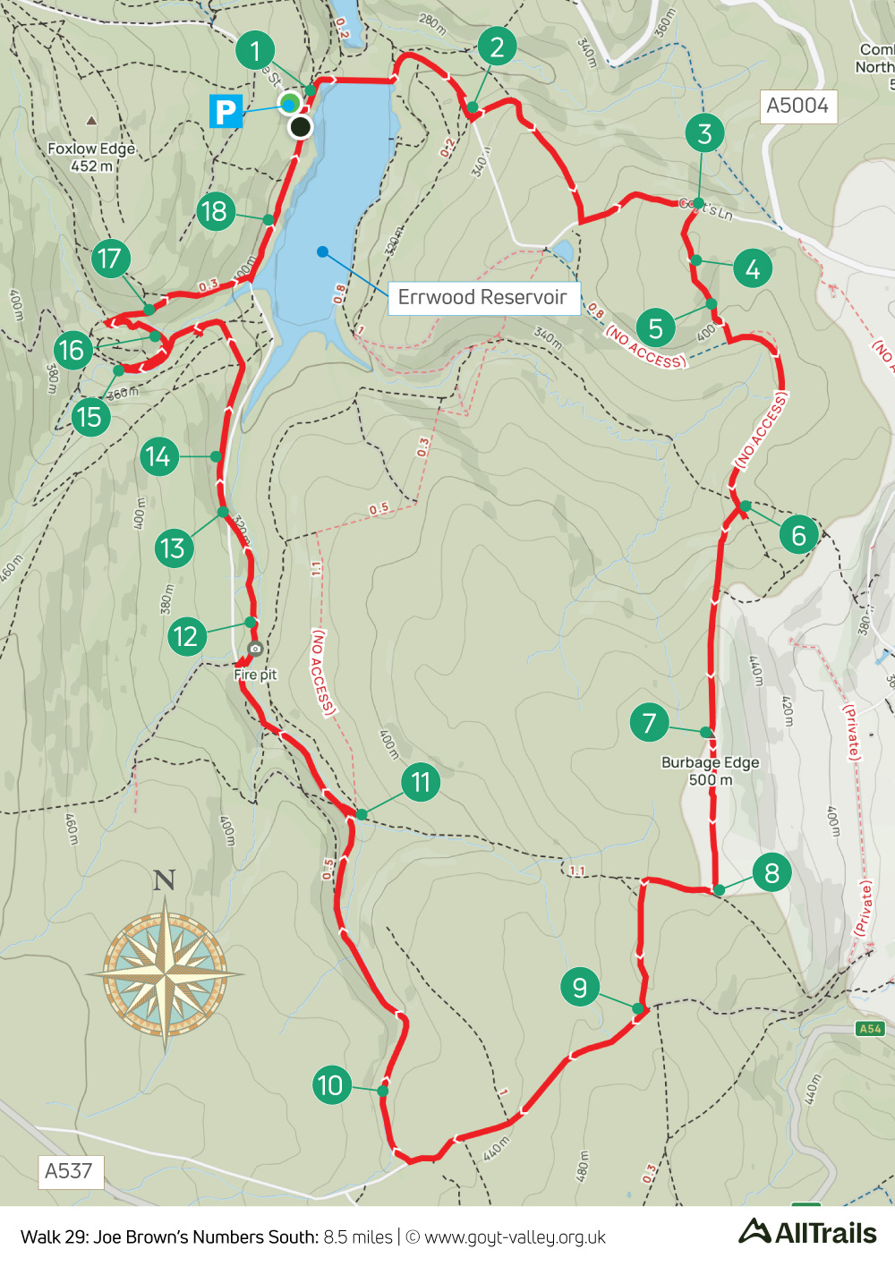
Above: Click map to expand in a new browser tab.
Click here to open an A4 printable pdf of map.
(Ignore the ‘No access’ on the map – this is incorrect.)
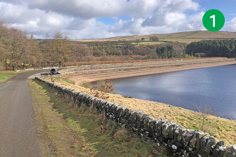
1: From the main carpark in the Goyt Valley, signposted ‘The Street’, cross the road between the twin reservoirs and head up the Bunsall Incline. This was the longest of six inclines on the Cromford & High Peak Railway which connected important canals in Cromford and Whaley Bridge.
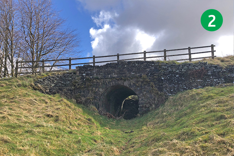
2: Look out for a small layby just up the slope on the right. Go through here and follow the narrow path beside the road to reach a small tunnel under the Incline. Here you will find the first of Joe Brown’s clues on this route. (This is clue #5 if you follow Joe’s original route from White Hall.)
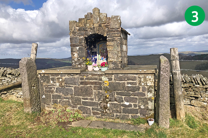
3: Cross the road and follow the footpath sign on the opposite side across the open moorland. Keep to the path as it winds round to the right to reach Old Goyt’s Lane through a wide gate. Head left up the lane until you reach a small shrine. Clue #2 is near here.
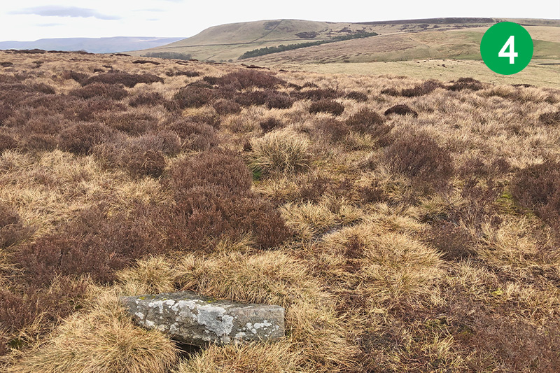
4: Follow a waymark behind a small layby just a short distance further on the right. Continue in the same direction up the slope. Clue #3 is close to the path but fairly weathered and difficult to read.
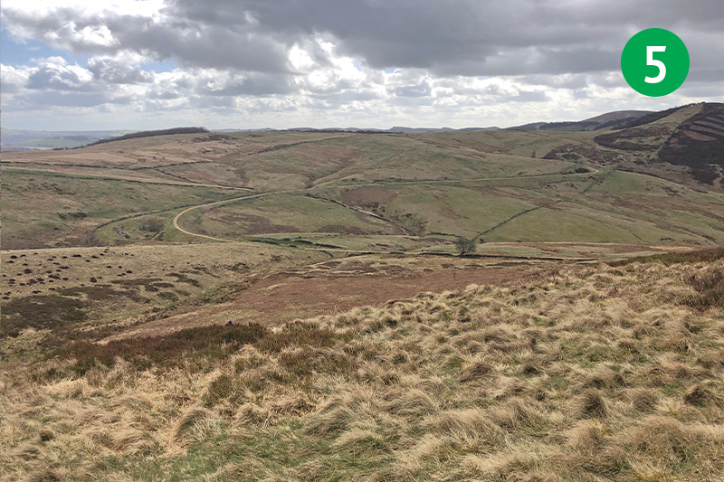
5: Keep in the same direction down the slope, heading towards the old railway line that snakes across the landscape. There’s no obvious path, and it can get quite overgrown with ferns and heather, so some care is needed.
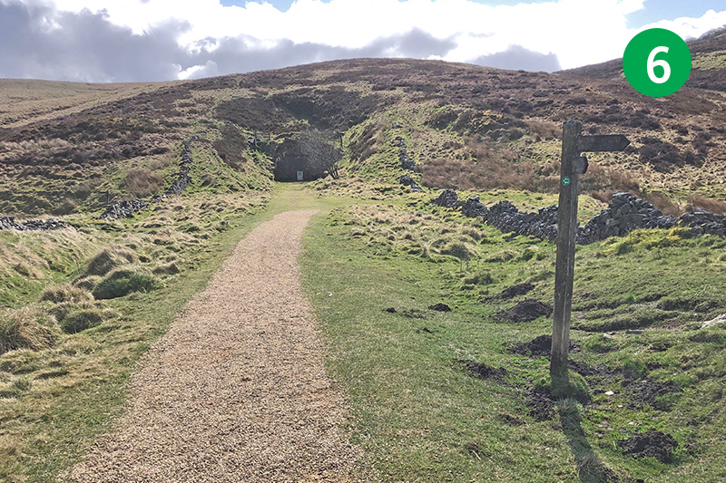
6: Turn left when you reach the disused railway line and follow it until you get to the blocked-up tunnel entrance. Clue #4 is near here.
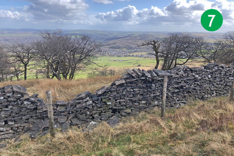
7: Retrace your steps a short distance and take a narrow and often very rutted track on the left which leads up to Burbage Edge. Keep the wall on your left to eventually reach the trig point, with views over Buxton in the distance. Clue #5 is near here.
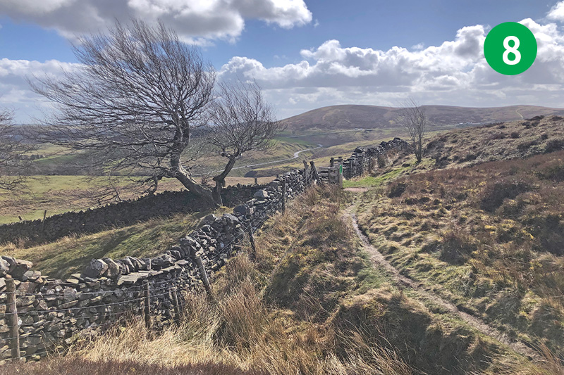
8: Keep in the same direction across this bleak and often very muddy landscape, with the wall to your left, until you see a gate on the left (this leads to Burbage on the outskirts of Buxton). Follow the path on the right across the moorland.
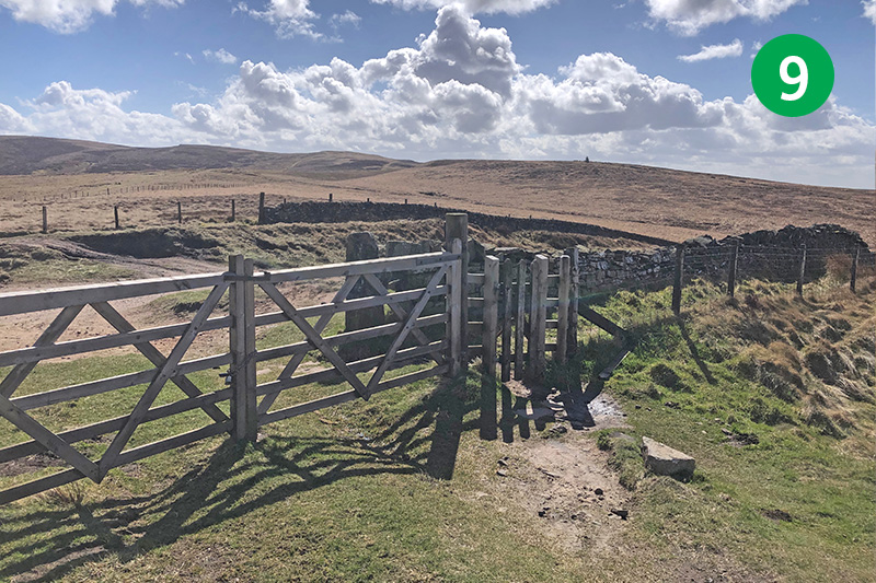
9: Keep in the same direction, heading towards the famous Cat & Fiddle Inn perched high on the far horizon. Look out for a fairly indistinct track on the left, just before the main path starts to slope down. Follow this track until you eventually exit onto the old Buxton to Macclesfield turnpike and turn right.
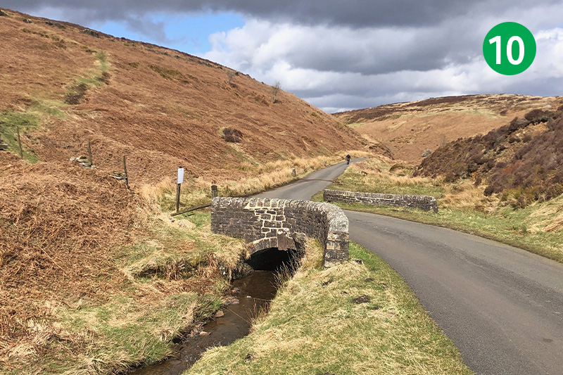
10: Keep along the old road until you reach a small carpark (this is an alternative starting point). Turn right, crossing the cattle grid, and follow the lane which runs beside the River Goyt (which is very much a stream at this point) until you reach a small bridge. This ancient crossing point is known as Derbyshire Bridge. Clue#6 is near here.
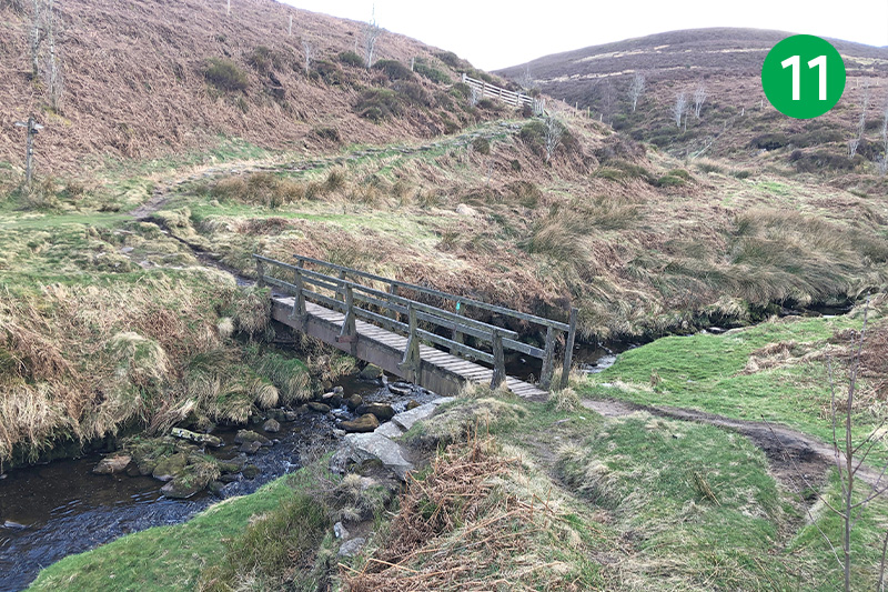
11: Continue along the lane (traffic is one way, from the opposite direction) until you see a small footbridge across the Goyt on your right. Clue #7 is near this bridge.
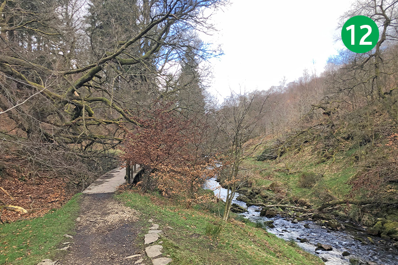
12: Go back up to the lane, continuing along it through Goytsclough where there was once a mill with a giant waterwheel as well as a stone quarry. Follow a footpath sign on the right, just past a ‘No entry’ sign, down some rough steps to reach the Riverside Path which runs alongside the Goyt.
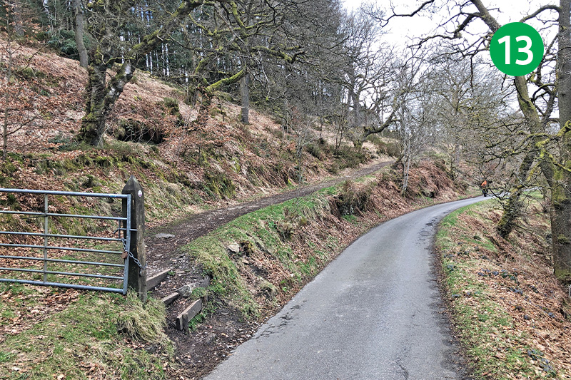
13: As you exit the picturesque path, go through a metal gate on the opposite side of the lane. Clue #8 is near here.
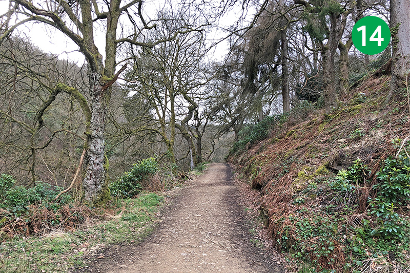
14: Head along the track, keeping the stone wall on your right, and follow it for some distance as it eventually winds around to the left and down a slope. (A small stile on the right leads down to Errwood Hall carpark which is another alternative starting point for this walk.) This wide track leads to the ruins of Errwood Hall.
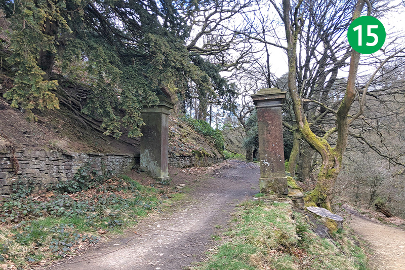
15: Go past the signs to the hall on the right, continuing in the same direction up the slope until you reach a large pair of stone gateposts on the right. Clue #9 is near here.
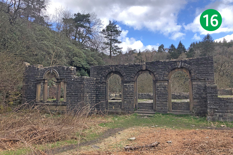
16: Go through the gateposts, following the track to reach the ruins of Errwood Hall. (A small set of steps on the left leads up the slope to a cemetry where Grimshawe family and friends are buried.) There’s lots of information about Errwood Hall and the Grimshawe family on this website.
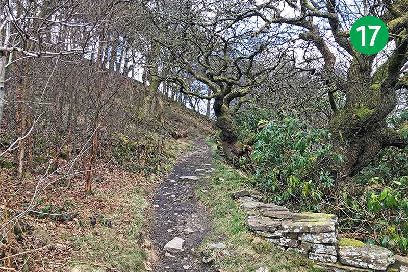
17: Follow the path past the ruins, and head down a series of steps to cross a small stream, and then take the path up the slope to the right. Turn right when you reach a wider track which leads down to the lane running alongside Errwood Reservoir.
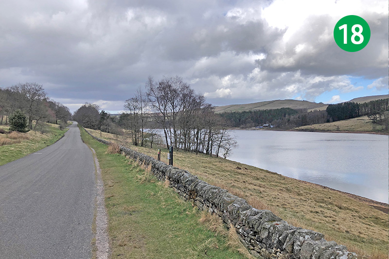
18: Turn left along the road to eventually return to ‘The Street’ carpark. The remains of Goyt’s Bridge lie under Errwood Reservoir on the right. I recently published a book telling the history of the hamlet, as well as the Grimshawe family of Errwood Hall, which is well worth reading – even if I do say so myself! (Click to view.)
