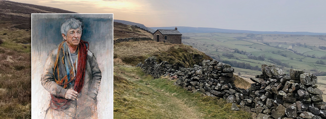
Above: Known as the ‘human fly’, Joe Brown was one of the finest mountaineers Britain has ever known. The view behind is from the path leading from Castle Naze along Combs Edge, close to where one of Joe’s Numbers is hidden.
Navigating Joe Brown’s Numbers
I first heard about Joe Brown’s Numbers a few years ago. Joe was one of the world’s most famous and well-respected climbers. During the 1960s, Joe taught at White Hall Outdoor Centre, which is just off the Buxton to Whaley Bridge, Long Hill Road. Here he created an orienteering challenge around the Goyt Valley and up to Castle Naze known as Joe Brown’s Numbers (more details).
It comprises 20 clues which are carved in stone at various locations scattered around the landscape. Most of them are six-figure grid references. Others are compass bearings and distances in yards. Find one clue and it leads to the next in a circuit of around 20 miles.
I lack the navigation skills needed to complete the course as Joe intended. But I managed to track down a list of the locations on What3Words. These references take you to within a few yards of each clue.
But even with W3W, it can take a while to find the clues. And when you do, the carved numbers are often so weathered they’re difficult to read. So I’m always very impressed by anyone who manages to complete the course using just a paper map and compass, and without any of today’s digital apps.

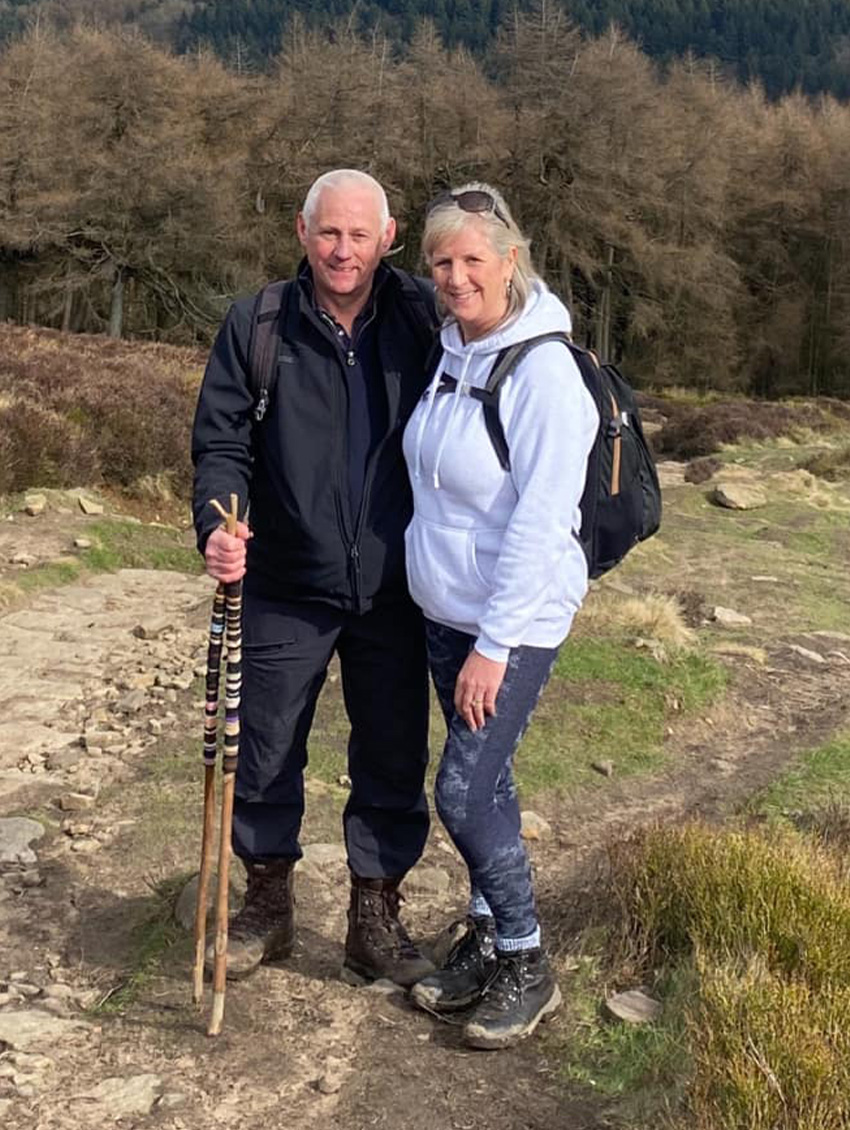
Above: Sue and Tim completed the course in 2021. They acted as my ‘phone a friends’ when I got stuck at a couple of clues.
For purists…
If you’re a purist and have the necessary navigation skills, the course starts at the front gates to White Hall. The Hall is at SK17 6SX (Google map). There is a very small layby close to the centre. Or you could walk up from one of the Goyt Valley car parks. (One problem to be aware of is that clue 7 is wrong – Joe places the grid reference too far north.)
A choice of routes…
For those like me who rely on digital aids, I’ve divided the route into two parts – the southern section (8.5 miles) and northern section (12.5 miles), both starting from The Street car park between the two reservoirs. Click either link to view.
Using a GPX file…
I can send anyone a GPX file of each route to import into a walking app such as OutdoorActive or Ordnance Survey (click to request). You can then follow the route and refer to the descriptions on each web page to locate the various clues.
Using What3Words…
Another option is to ignore the GPX route, and just rely on W3W to go from clue to clue. (Click to download a sheet of the W3W co-ordinates.) After entering each 3-word string, W3W gives different options to navigate, depending on the device you’re using.
Android and iPhones both offer a compass with distance. iPhones also offer AppleMaps and Google Maps. Androids offer Google Maps but also some popular walking apps. I found the best walking app to use with W3W is Mappy, but it’s not available on an iPhone because of security issues.
Crib sheet…
Some clues can be very difficult to find. One near the end is obscured by trees that have grown since Joe carved his clues. Click here for a printable pdf providing more detailed instructions on how to locate each clue. (To follow.)
Geocache option…
There is also a Geocache version of the course. Click for details.