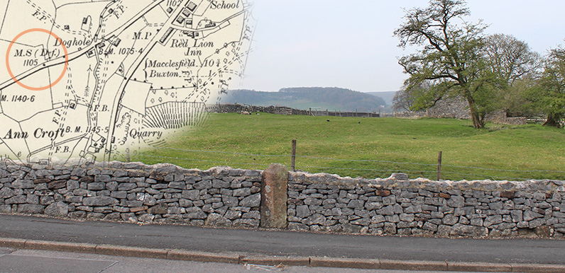
Above: It’s easy to miss the milestone opposite Anncroft Road in Burbage, particularly as its directions and distances are now buried within the surrounding stones.
The inset map shows that it would have stated 10 3/4 miles to Macclesfield. And 1 mile the other way into Buxton.
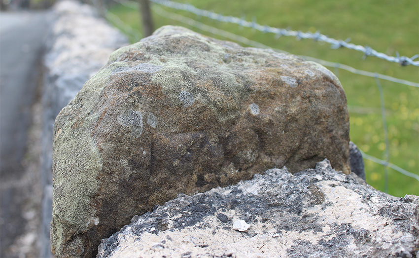
My thanks to Catherine Parker-Heath, South West Peak Cultural Heritage Officer, for sending a photo showing there is some lettering on the milestone buried in a wall in Burbage – it’s inscribed with the year 1762.
It was easy to miss as it’s at the top edge of the stone. Which presumably means the directions and mileages must be carved on the side that’s completely hidden within the wall. Which is a great pity.
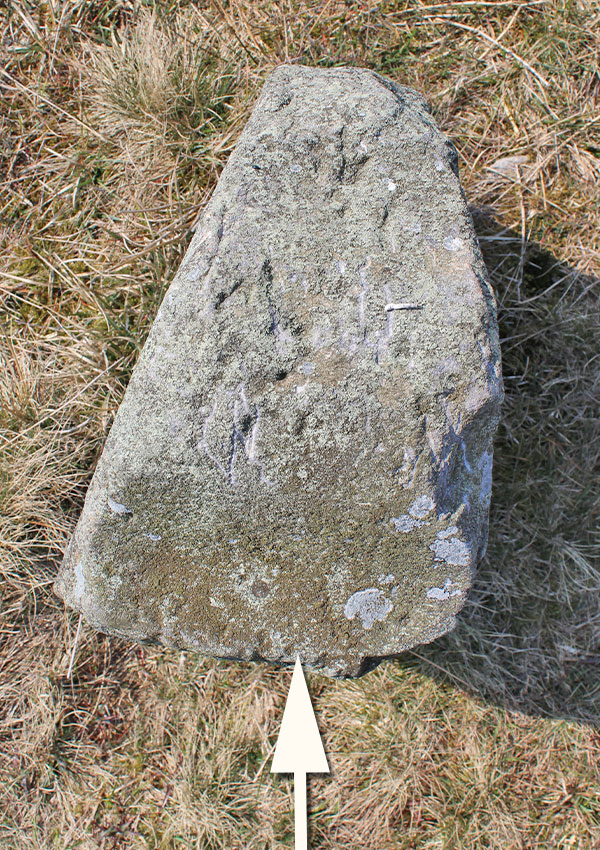
Above: I’ve arrowed the side with the rough inscription on this view taken from above. This is the side furthest away from the old turnpike.
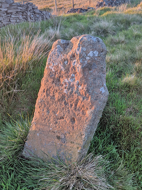
I’ve also taken a closer look at the milestone between the Cat & Fiddle and Peak View Cafe. And discovered some very faint, litchen-covered lettering on the edge facing away from the road. But I can’t for the life of me decipher what it says.
There’s a T and an M, and a date below which seems to end in a 2. But beyond that, it’s a mystery. So if anyone has any ideas, please get in touch.
All this research has inspired me to join the Milestones Society. The Society’s leaflet provides some interesting information:
From 1767, milestones were compulsory on all turnpikes, not only to inform travellers of directions and distances, but to help coaches keep to schedule and for charging for changes of horses at coaching inns.
The distances were also used to calculate postal charges before the uniform postal rate was introduced in 1840.
These way markers are fast disappearing. Many were removed, buried or defaced in World War II to baffle potential German invaders and not all were replaced afterwards.
Many more have been demolished as roads have been widened, become the victims of collision damage or been smashed by hedge-cutters and flails.
It makes me wonder just how difficult it would be to uncover the inscriptions on the Burbage milestone, and maybe even turn it around so the words face the road. I’ll ask Catherine the question…
Page update
James has tracked down another milestone on the old Buxton to Macclesfield Road (click to enlarge).
He says; “it’s on the left of the road, maybe a mile beyond Derbyshire bridge car park. Just before the last rise before the road descends into Buxton.”
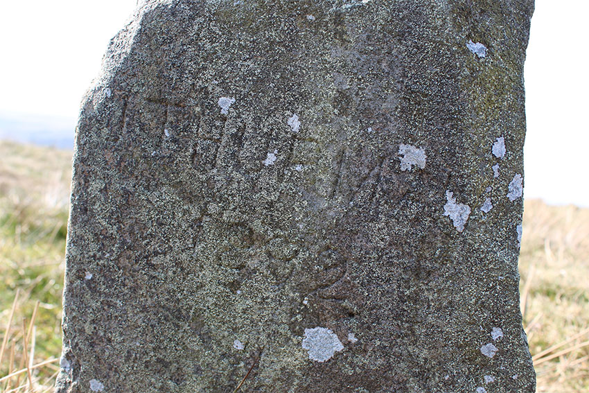

I’ve just been reading AE Dodd’s ‘Peakland Roads and Trackways’ to discover more about Stonyway Bar and it mentions the inscription on the second stone: “…on this stone J. Thurman, otherwise unknown to history, immortalised himself by carving his name in 1892.”
The inset map shows two milestones. The one marked MP is the one inscribed with distances to Buxton and Macclesfield (see photo). The milestone pictured is marked MS (Def.) defaced.