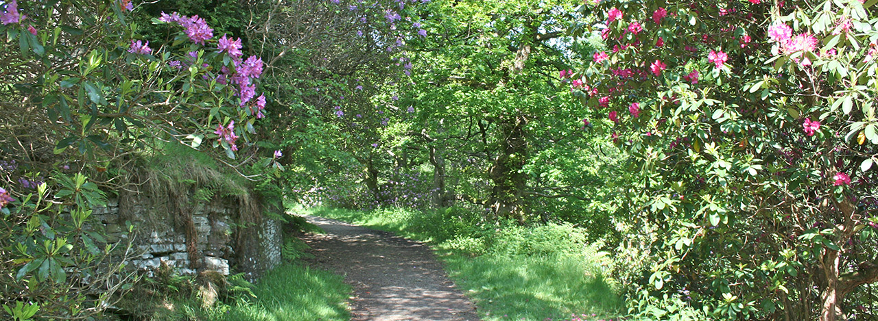
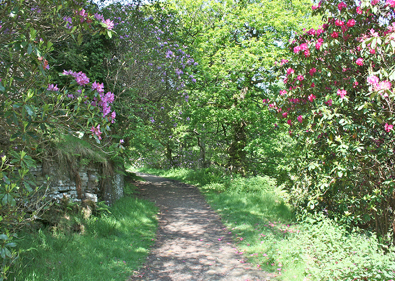
Above: The rhododendrons in full bloom on the approach to the ruins of Errwood Hall (see walk 7).
Choose a Goyt Valley walk
There are many wonderful walks in and around the Goyt Valley. I’ve included some of my favourites on this website. Apart from walk 12, all are circular. Please get in touch if you’d like to recommend one to add to the list, or if you spot any mistakes in the directions.
GPX files available
To help choose a walk, I’ve included brief descriptions below. Simply click on any title to view full directions, along with a map. And click here to view short ‘Relive’ videos of all the walks. GPX files are also available at just £1.50 each to use with any walking app.
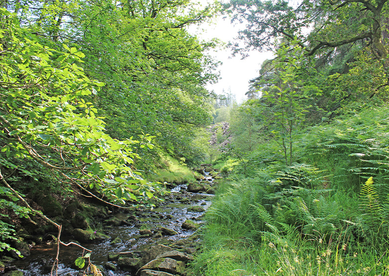
Walk 1: The Riverside
Distance: 2 miles | Rating: Very easy | Start point: Errwood Hall car park
This short walk is the easiest in this series, but includes one of the most scenic spots in the valley, as it runs down to the River Goyt (which is very much a stream at this point). This part of the walk is along a solid track making it ideal for wheelchair users, or families with small children and baby-buggies. There are also some great paces for picnics, alongside the Goyt.
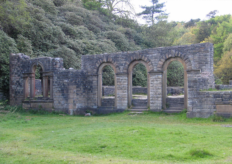
Walk 2: Errwood Hall
Distance: 1 mile | Rating: Easy | Start point: Errwood Hall car park
This is one of the most popular walks in this part of the Goyt Valley; visiting the evocative ruins of Errwood Hall, before heading up the hillside to the Grimshawe family graves. It also passes the remains of two stone houses – both demolished at the same time as the hall in 1934 – Castedge Farmhouse and Shooter’s Clough Cottage.
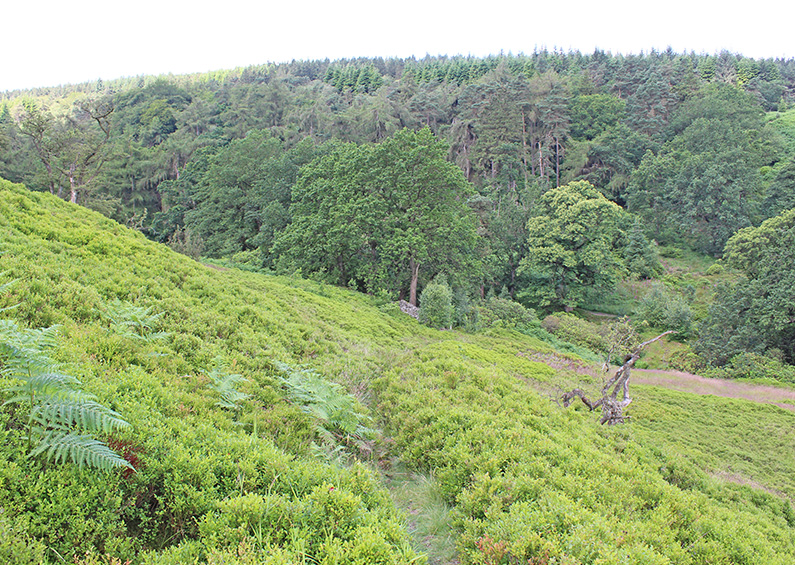
Walk 3: Valley views
Distance: 2 miles | Rating: Easy | Start point: Errwood Hall car park
The third walk in this series took me a while to discover. It’s a very easy stroll – although it can get a bit muddy after rain – and offers some tremendous views across the valley. It passes the ruins of Errwood Hall and can easily be extended by visiting St Joseph’s Shrine or the hilltop graves the Grimshawe family who once owned the 1000 acre estate (see walk 4).
Walk 4: Errwood Hall & The Shrine
Distance: 3 miles | Rating: Easy | Start point: Errwood Hall car park
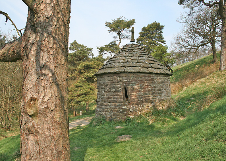
This easy, three-mile walk takes in three of the most historic sites in this part of the Goyt Valley; the ruins of Errwood Hall, the hilltop cemetery of the Grimshawe family who lived here from around 1840 to 1930, and St Joseph’s Shrine, the small circular stone building dedicated to the Spanish companion of Mrs Jessie Grimshawe. From here the walk ascends a gentle slope to reach the summit of Foxlow Edge before returning to Errwood Hall carpark.
Walk 5: Whaley Bridge to Taxal
Distance: 3 miles | Rating: Very easy | Start point: Whaley Bridge
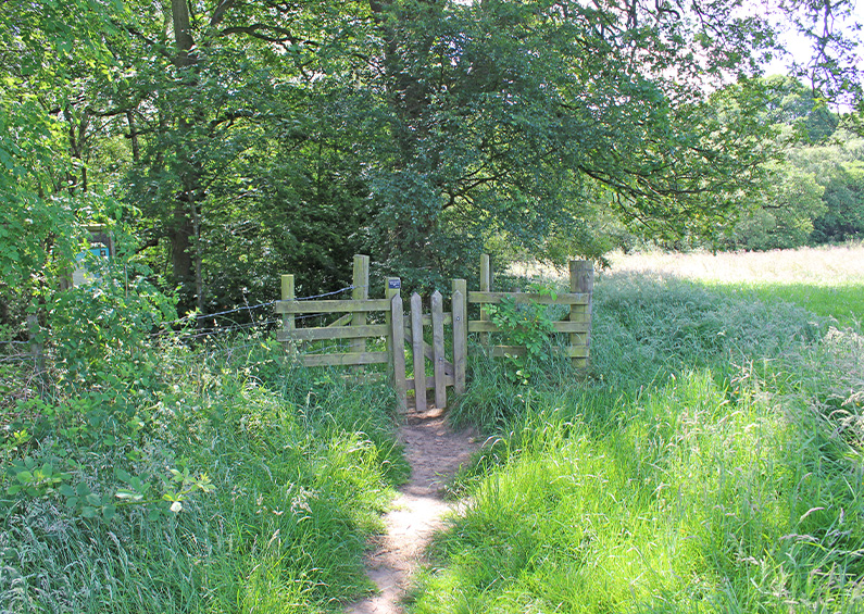
Starting from Whaley Bridge, this is an ideal walk for anyone using public transport – bus or train – to access the northern end of the Goyt Valley. The walk passes Taxal Church, with its rich history, before heading across farm fields to a small bridge over the Goyt. And then returns alongside a very picturesque river bank path. The walk can easily be extended by circling Fernilee Reservoir, and going even further to Errwood Reservoir.
Walk 6: Taxal Edge
Distance: 7.5 miles | Rating: Moderate | Start point: Main car park
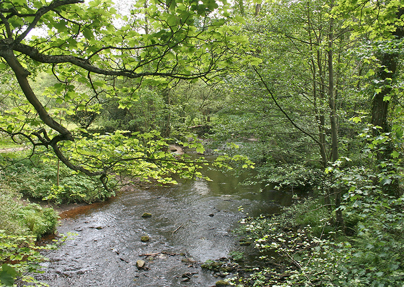
This s7.5 mile circular walk passes along a forest track before climbing up to the ridge of Taxal Edge. The walk then drops down to the attractive hamlet of Taxal, with its picturesque church, before returning along the bank of the River Goyt. This wonderfully scenic and tranquil river-side section reveals what was lost when the valley was flooded. There’s then a choice of routes to return to the car park – along either side of Fernilee Reservoir.
Walk 7: The rhododendrons
Distance: 4 miles | Rating: Moderate | Start point: Errwood Hall car park
I timed this walk to capture the rhododendrons which bloom so magnificently in June. But it’s a really enjoyable stroll at any time of year. It starts from the bridge beside Errwood Hall car park. After passing the ruins of Errwood Hall, it heads up an old track alongside Shooter’s Clough Valley. There are some magnificent views all along the walk, especially from the top of the ridge.
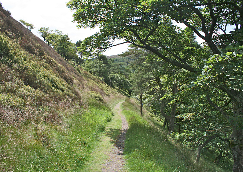
Walk 8: Shining Tor
Distance: 6 miles | Rating: Moderate | Start point: Errwood Hall car park
At about six miles, this walk is one of the longest in the series. There are a few uphill slopes along the way, and a mile-long section across open moorland, but the rewards are some stunning panoramic views. The path leads along Foxlow Edge, then a short distance along the old Roman road known as The Street, before heading along the ridge line towards Shining Tor.
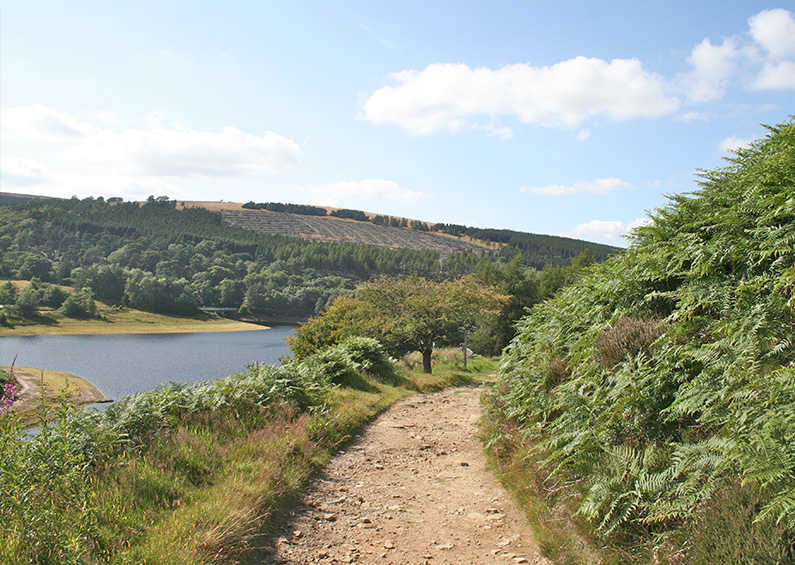
Walk 9: Buxton to Errwood
Distance: 8 miles | Rating: Moderate | Start point: Buxton
This eight-mile circular walk starts at Burbage, on the western edge of Buxton, passing along easy moorland paths to Errwood Reservoir, before returning to the starting point on Bishop’s Lane. It’s a fairly easy walk, with no steep slopes. But it can get muddy in places – particularly after rain – so walking boots are recommended.
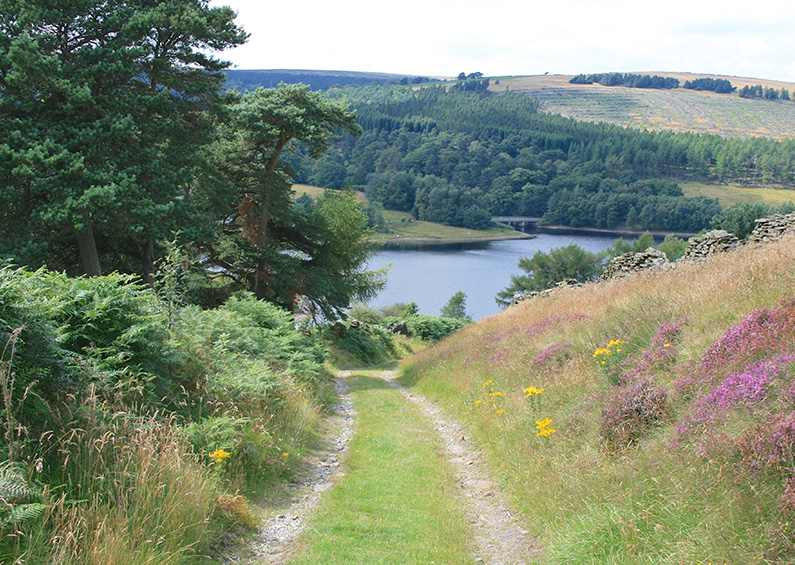
Walk 10: Old Goyt’s Lane
Distance: 3 miles | Rating: Easy | Start point: Top of Bunsall Incline
This easy, three-mile circular walk follows the old lane which was once the main route into the hamlet of Goyt’s Bridge from Buxton. It then meanders across open moorland before returning along the disused track of the High Peak Railway line. The walk can get muddy along the moorland section, but it’s one of the easiest in this series. And includes some wonderful views, both across Errwood Reservoir, and from the old railway track.
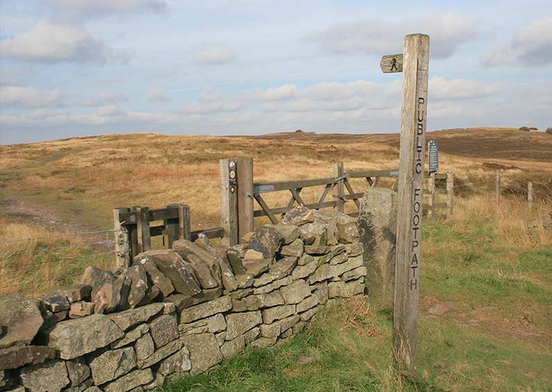
Walk 11: Derbyshire Bridge
Distance: 3 miles | Rating: Easy | Start point: Derbyshire Bridge
From the small car park at Derbyshire Bridge the walk follows the old Buxton to Macclesfield road before crossing open moorland to reach the small packhorse bridge which once stood in the heart of the hamlet of Goyt’s Bridge. Personally I prefer this walk in Spring – before the ferns have grown too thick. And there may be too much walking on tarmac for some people’s tastes.
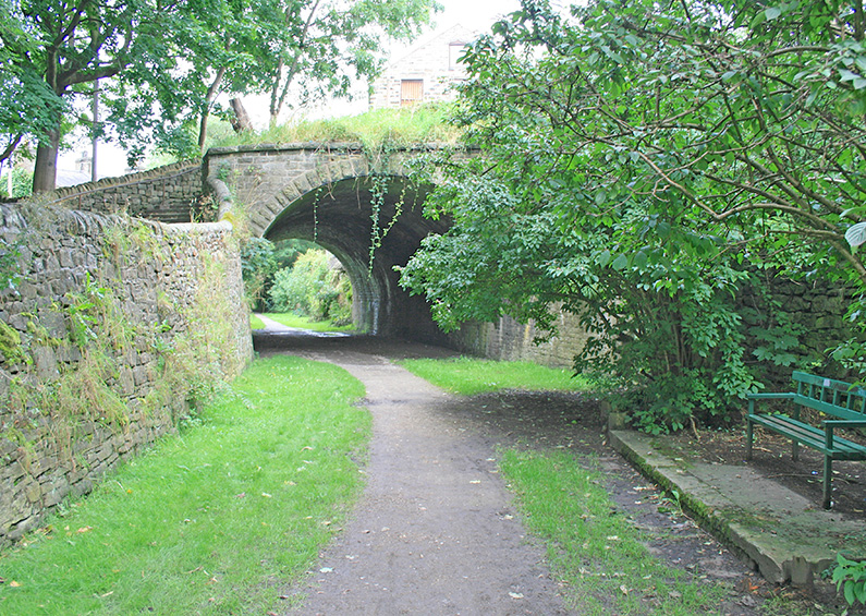
Walk 12: Cromford & High Peak Railway
Distance: 9 miles | Rating: Moderate | Start point: Buxton
The walk traces the northern section of the Cromford and High Peak Railway, from Burbage on the outskirts of Buxton, through the beautifully scenic Goyt Valley, to its end point at the canal basin in Whaley Bridge. The best way to return to Buxton is by train. Some of the route is now on private land and inaccessible, so there are a few detours, including small sections beside the road. And some parts can also get overgrown in late Summer, so early Spring is perhaps a better time.
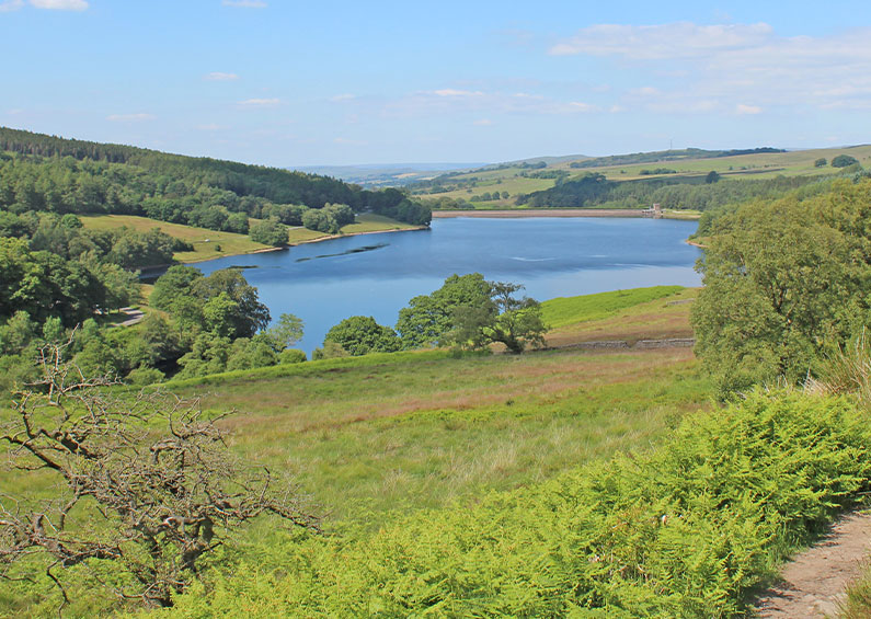
Walk 13: Errwood Reservoir circular
Distance: 5 miles | Rating: Moderate | Start point: Errwood Hall car park
There are some wonderful panoramic views during this easy and enjoyable 5-mile walk around Errwood Reservoir. The narrow path on the far side of Errwood can get muddy after rain – so walking boots are recommended. And the ferns can get fairly tall and thick from mid summer. The walk can easily be extended by visiting the ruins of Errwood Hall. Or if you’re feeling really energetic, going around Fernilee Reservoir as well.
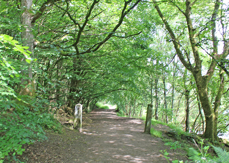
Walk 14: Fernilee Reservoir circular
Distance: 4 miles | Rating: Easy | Start point: Main car park
An easy, four mile stroll around Fernilee Reservoir. It’s possible to shorten the walk by crossing the dam wall at the northern end of the reservoir. But I prefer to go a little further, crossing the Goyt about half a mile down stream. The return path along the river bank reveals the picturesque scenery which was lost forever following the construction of the twin reservoirs.
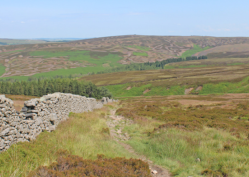
Walk 15: Errwood to Goytsclough
Distance: 5 miles | Rating: Moderate | Start point: Errwood Hall car park
There’s a mix of easy walking along tree-lined footpaths with stony – and often muddy – tracks in this five mile circular walk. Starting from Errwood car park, it passes the ruins of Errwood Hall before rising across open moorland and then descending to Goytsclough. The historic packhorse bridge nestles in the valley beside Goytsclough. The Riverside path back to the car park is always a joy – at any time of year.
Walk 16: Fernilee woodland walk
Distance: 3 miles | Rating: Easy | Start point: Car park at foot of Bunsall Incline
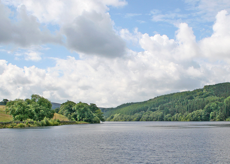
The walk along the eastern shore of Fernilee Reservoir is probably the most popular in the Goyt valley, particularly for dog-walkers and families with young children. Many people simply walk along the old railway track, but I always prefer to do a complete circuit. And for this walk, I’ve gone along the woodland path on the other side, rather than keeping to the shore-line.
Walk 17: Foxlow Edge & St. Joseph’s Shrine
Distance: 1.5 miles | Rating: Easy | Start point: Lay-by beside ‘The Street’ Roman road
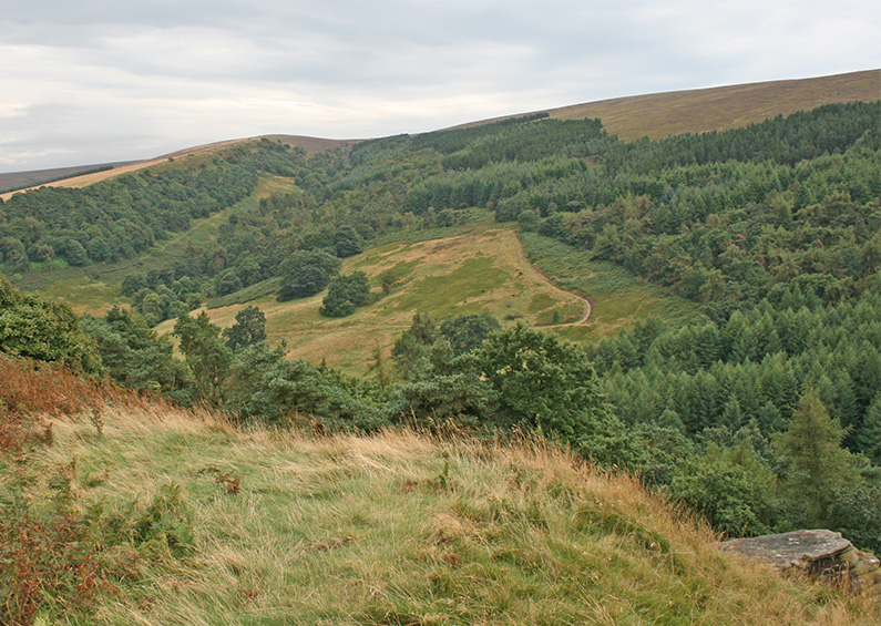
This short circular walk is perfect for dog-walkers – and anyone who wants a quick leg-stretch, but prefers getting away from the more popular paths around the twin reservoirs. There are some wonderully panoramic views over the surrounding Peak District countryside, with the added bonus of a visit to the evocative circular stone building known as St Joseph’s Shrine.
Walk 18: Fernilee Reservoir west walk
Distance: 2.5 miles | Rating: Easy | Start point: Fernilee carpark
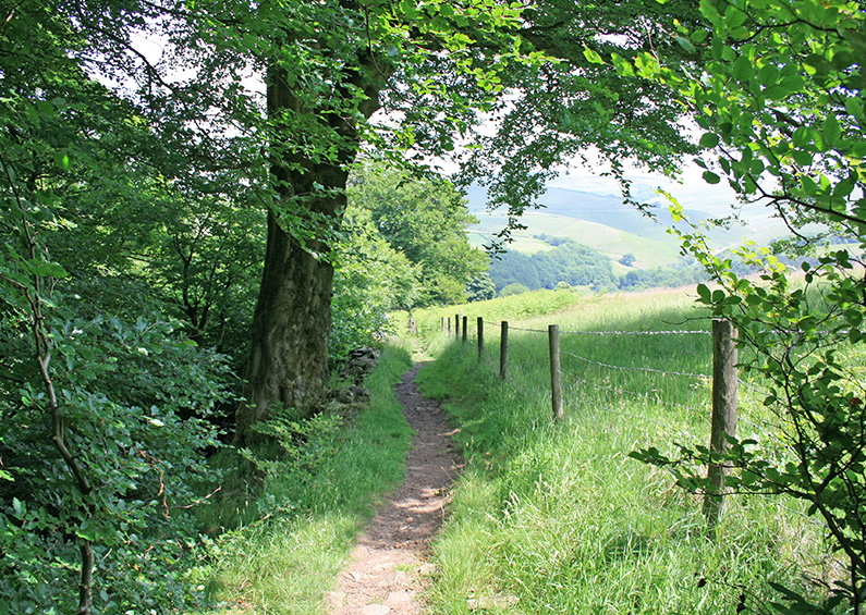
Starting from the small carpark at the northern end of Fernilee Reservoir, this easy circular stroll goes along a wide gravel track above the western side of the reservoir, returning along the picturesque shoreline path. It’s great for dog-walkers and includes some wonderful views – both from the higher section across the valley, and from the lower section across the reservoir.
Walk 19: Derbyshire Bridge to Axe Edge Moor
Distance: 7 miles | Rating: Moderate | Start point: Derbyshire Bridge car park
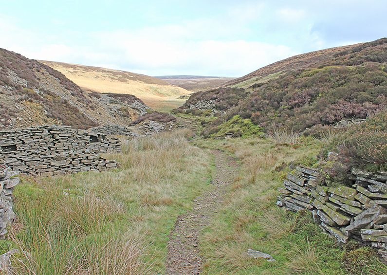
Starting from close to the source of the River Goyt at Derbyshire Bridge, this 7-mile walk is a lot more open – and bleak – than the other walks in this series. But has its own very special rewards. It passes through an old stone quarry before crossing the River Dane – which is very much a stream at this point – before returning via the Cat & Fiddle – which was sadly still closed when the walk was recorded.
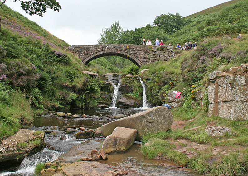
Walk 20: Three Shires Head
Distance: 5 miles | Rating: Easy | Start point: Clough House carpark
Although not strictly in the Goyt Valley, I’ve included this five-mile circular walk to Three Shires Head as it’s one of my favourites in this part of the Peak District. It starts from a small public car park at Clough House, just a short distance from Wildboarclough, passing along a range of paths, including old packhorse routes, as well as open moorland.
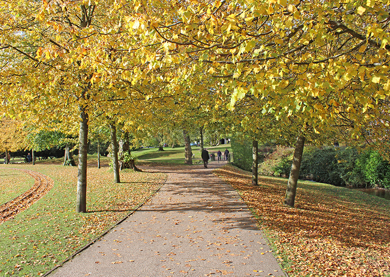
Walk 21: Buxton to Goyt Valley
Distance: 9 miles | Rating: Moderate | Start point: Buxton Pavilion Gardens
Recorded in mid-October to capture the colours of Autumn, this is the second walk in the series starting from the Georgian spa town of Buxton. It follows some of the same paths as walk 9, but is slightly longer at just over nine miles. It passes the famous Buxton landmark known as Solomon’s Temple, as well at the popular Poole’s Cavern.
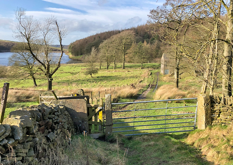
Walk 22: Rainow to Lamaload
Distance: 9.5 miles | Rating: Moderate | Start point: Rainow
Recorded on a cold, early February day, this 9.5 mile circular walk starts from The Robin Hood pub in Rainow and heads across some fairly bleak moorland tracks to reach the isolated ruins of Thursbitch Farm, before returning via the picturesque Lamaload Reservoir. It’s not exactly in the Goyt Valley, but it is fairly close, and is one of my favourite walks in this part of the Peak District.
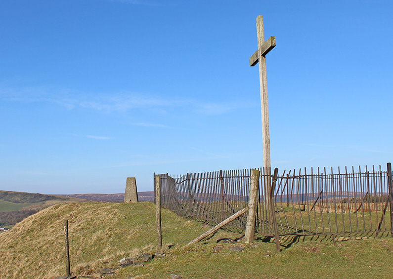
Walk 23: Corbar Cross to Errwood
Distance: 8.5 miles | Rating: Moderate | Start point: Corbar Woods, Buxton
Recorded on a gloriously bright and sunny day in late March, this 8.5 miles circular walk starts from Corbar Woods on the northern edge of Buxton, passing Errwood Reservoir and returning through Cavendish golf course. It might get muddy in places during winter, and possibly a bit overgrown with ferns in late summer. But the rewards are some wonderful views across both the landscape and the reservoir.
Walk 24: Fernilee to Castle Naze
Distance: 12 miles | Rating: Moderate | Start point: Bunsall Cob car park
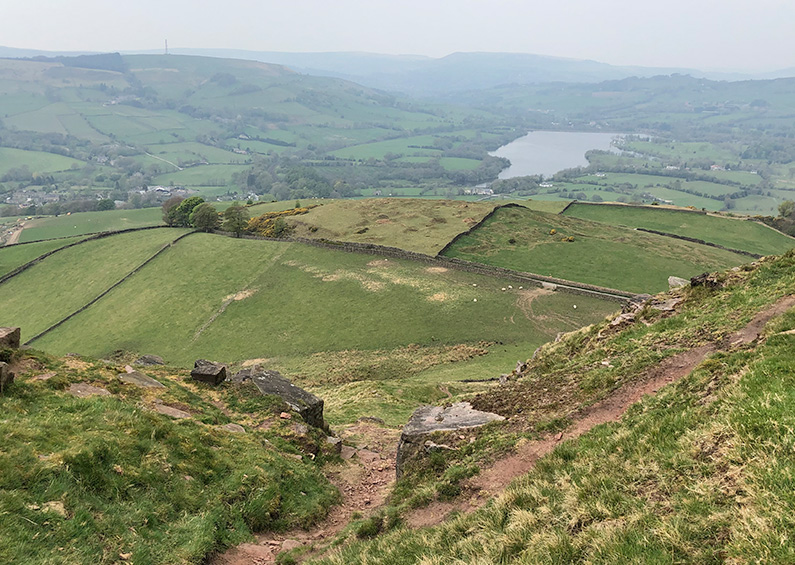
At 12 miles, this is one of the longest walks in the series, and probably the most challenging if you’re not a keen walker. But the rewards include a rich variety of features and scenery. Starting from Fernilee Reservoir, the walk passes Taxal Church and then Combs Reservoir before climbing up to the ancient Iron Age fort of Castle Naze, with its breath-taking panoramic views, and returning via Combs Edge.
Walk 25: Buxton to Burbage Edge
Distance: 7 miles | Rating: Moderate | Start point: Buxton Pavilion Gardens
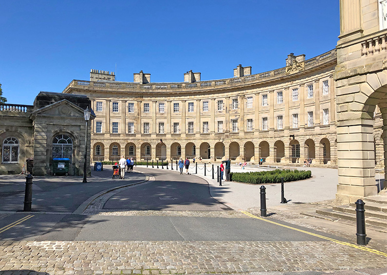
At just under 7 miles, this fairly easy walk starts from beside Buxton’s newly re-opened Crescent, passing through both the Pavilion Gardens and the Serpentine Walks before heading up to Burbage Edge, on the southeast border of the Goyt Valley. The edge can get muddy in places, so walking boots are recommended. Also, it’s fairly easy to extend the walk along the old railway line, or down to Errwood Reservoir.
Walk 26: Windgather Rocks to Shining Tor
Distance: 11 miles | Rating: Moderate | Start point: Main Goyt Valley car park
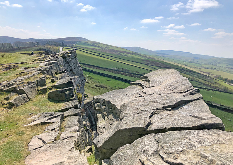
An 11-mile circular walk from the main car park beside the twin reservoirs, passing along the west bank of Fernilee Reservoir, then beside the River Goyt to the picturesque hamlet of Taxal, before heading up a steepish climb to Taxal Edge, and on to Windgather Rocks. There are some wonderful views from here all the way to Shining Tor before dropping down to visit the ruins of Errwood Hall.
Walk 27: Railway track short circuit
Distance: 2 miles | Rating: Easy | Start point: Goyt’s Lane car park
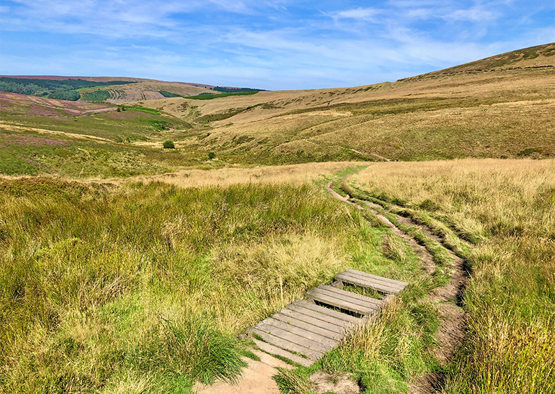
An easy 2-mile circular walk from the small car park beside the pond half way down Goyt’s Lane – the road leading down to the valley from the Buxton to Whaley Bridge Long Hill Road. The first half is along the old railway track. The second half is along a fairly narrow footpath which meanders down towards Errwood Reservoir. This walk turns back up the slope before reaching the reservoir, but it’s very easy to extend it further at both ends.
Walk 28: Two reservoirs circuit
Distance: 8 miles | Rating: Moderate | Start point: Main car park
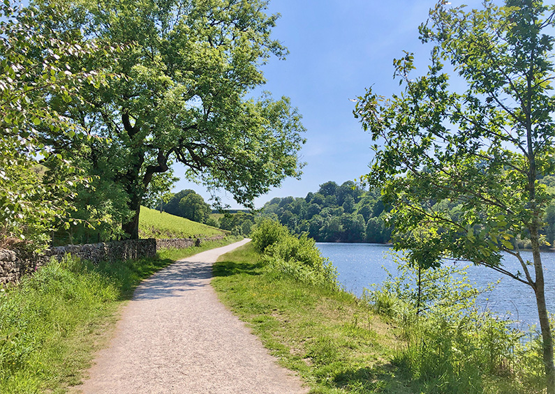
A very rewarding eight-mile walk around both Fernilee and Errwood Reservoirs, taking in both the historic packhorse bridge and the ruins of Errwood Hall on the return. The east side of Errwood can be muddy in winter and after rain, and the ferns can get dense in late summer, but it’s always worth the effort, whatever the time of year or weather. There are some wonderful views to enjoy across both reservoirs.
Walk 29: Joe Brown’s Numbers South
Distance: 8.5 miles | Rating: Moderate | Start point: Main car park
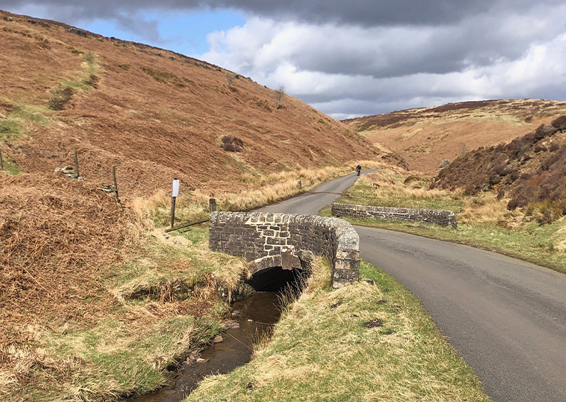
The southern section of Joe Brown’s orienteering challenge around the Goyt Valley. You can choose how challenging you want to make it. From following Joe’s original clues dotted around the landscape, to downloading a crib sheet with all the clues identified using the What3Words app.
Walk 30: Joe Brown’s Numbers North
Distance: 11 miles | Rating: Difficult | Start point: Main car park
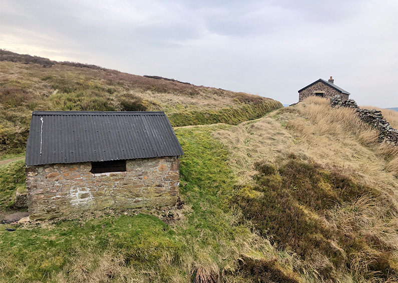
The northern section of Joe Brown’s orienteering course around the Goyt Valley which is longer and more strenuous than the southern section at 11 miles, and includes a climb up to Castle Naze and along Combs Edge. But given some decent weather, it’s a highly enjoyable and invigorating walk through some magnificent countryside.
