To view older and newer blog posts, simply click on the links at the bottom of this page.
![]()
Good or bad guys?
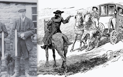
The Braddock family had worked for the Grimshawes since the building of Errwood Hall. So it was a surprise to learn that they were a tight-knit band of notorious highwaymen.
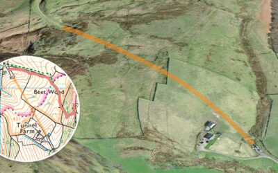
Mystery earthworks
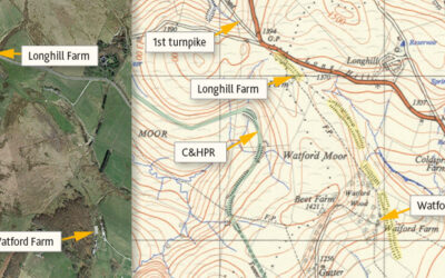
Many theories have been proposed for the mysterious, mile-long earthwork between Watford and Longhill Farms. Was it for a large gun, a railway test track, or perhaps an abandoned turnpike extension?
Trip to the Valley in 1967
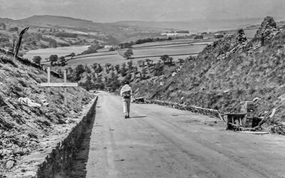
Some photos taken in 1967, shortly before the completion of Errwood Reservoir, including views along the Bunsall Incline as well as the suspension bridge which once spanned Fernilee Reservoir.
An alternative view
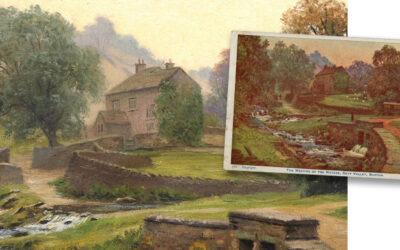
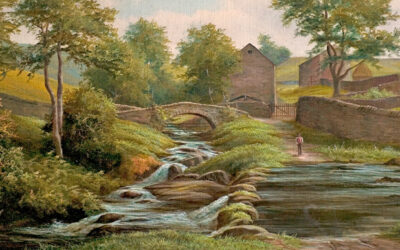
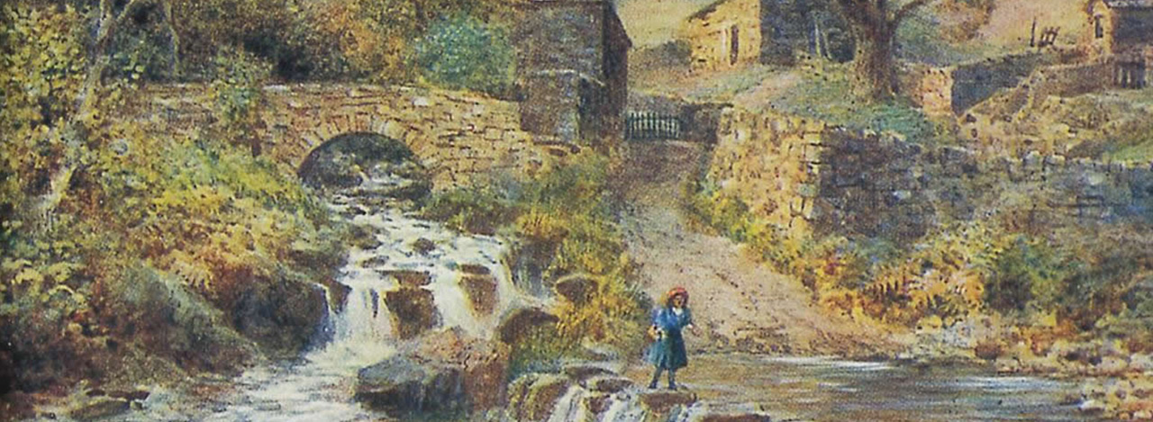
An original oil painting that appeared recently on ebay could be an early draft of my favourite postcard view of Goyt’s Bridge. The vendor gave me permission to sell copies to help fund this website.
Goyt’s Bridge painting
Just discovered in Buxton Museum’s collection; a late 19th century oil painting showing the highly popular view of Goyt’s Bridge, over the stepping stones towards the packhorse bridge.
Goytsclough parking closed
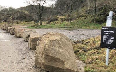
Forestry England has recently closed off the popular parking areas at Goytsclough with a long row of large boulders in an attempt to stop what they call ‘antisocial behaviour’.
The path to the stones
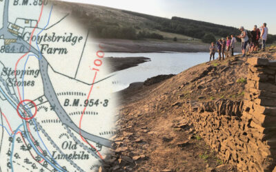
A photo taken back in late August 2022, when the water level in Errwood Reservoir dropped significantly, revealed the path running down to the second set of stepping stones.
Second stepping stones
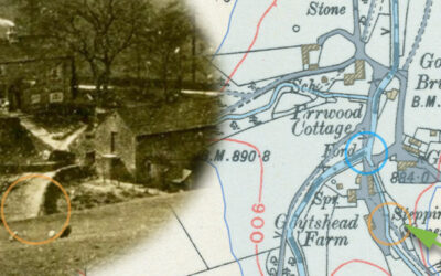
A 1918 photo taken from Goyt’s Lane towards Goytshead Farm comes frustratingly close to revealing a second set of stepping stones close to the packhorse bridge in Goyt’s Bridge.
WW1 nurse’s unique photos
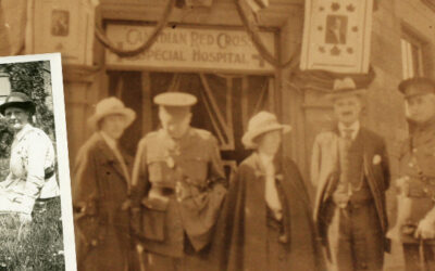
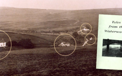
Four photos have been discovered of Goyt’s Bridge, taken by a Canadian nurse in 1918. They include both bridges as well as a wonderful view across the now-drowned hamlet.
Before the Hall
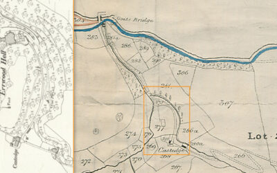
A detailed map published in 1832 for the sale of land in the Goyt Valley is the oldest I’ve seen. It must have been at this auction that Samuel Grimshaw purchased the land on which he’d build Errwood Hall.
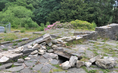
Hall ruins reopened
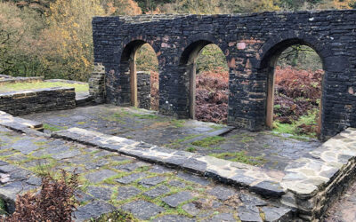
It’s good to see that the fencing around the ruins of Errwood Hall has finally been removed and visitors are again free to wander around this historic site. I just hope we can keep the vandals away.
The vanished footbridge
The mystery of the vanished footbridge along the path around the ruins of Errwood Hall deepens. I’m just hoping Forestry England will replace it. But their silence makes me fear for the worst.
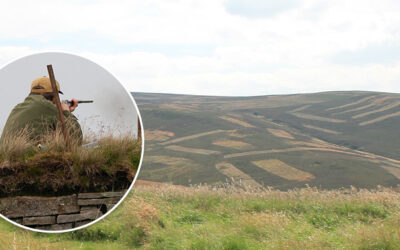
Grouse shooting ban
United Utilities has announced that they will ban grouse shooting in the valley from 2027, ending a sporting tradition which has taken place for centuries. The decision has caused a great deal of controversy.
Sealing the tunnel
A couple of photos recently discovered on ebay show the southern end of the tunnel on the disused Cromford & High Peak Railway line being blocked off, probably sometime in the early ’60s.
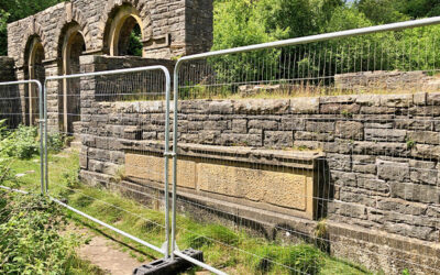
Errwood Hall now closed
It’s sad to see that the recent spate of vandalism at the ruins of Errwood Hall has meant that they’ve now been fenced off for a couple of months whilst Forestry England make the necessary repairs.
Protecting the ruins
Forestry England are fencing off the ruins of Errwood Hall to repair the damage caused by a recent spate of vandalism. I’m not sure how long it will take and will update this page when I hear more.
Walk 28: two reservoirs circuit
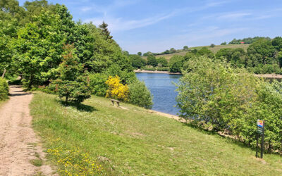
Walk 28 circuits both Fernilee and Errwood Reservoirs. It’s a perfect way to enjoy the many glories of the Goyt Valley, including the historic packhorse bridge and the enigmatic ruins of Errwood Hall.
What is it with UU?
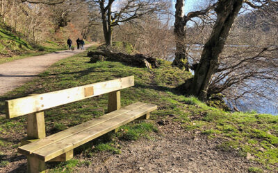
Why does United Utilities no longer allow memorial benches? And why are there no public toilets in the valley? And why have they installed hideous wire fencing along the bridge?
Out with the Toad Patrol
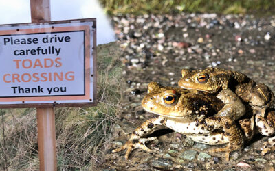
The Toad Patrol do a wonderful job ensuring as many as possible of these small amphibians survive the hazardous journey across Old Goyts Lane from their habitat to their spawning ground.
PRoW application update
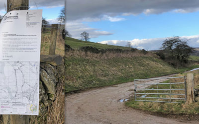
Things finally seem to happening with the application to preserve public rights of way along a stretch of the old Cromford & High Peak Railway which once led into the Goyt Valley. But we need your support.
Ranger records #2
With the deadline fast approaching, I’ve managed to complete the final batch of scans of the records kept at Derbyshire Bridge Rangers’ hut – some 88 pages in two folders.
Ranger records #1
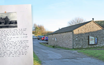
I’ve finally made a start on scanning a fascinating collection of photos and documents which were once displayed in the Derbyshire Bridge Rangers’ hut. Here’s the first batch…
Well remembered
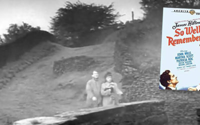
A treasure trove of recent discoveries from Facebook members include a 1930s photo of Errwood Hall, plus footage from a 1948 film and a 1966 colour photo showing the packhorse bridge.
Derbyshire Bridge road closure
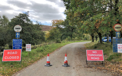
The narrow, one-way road between Errwood Hall car park and Derbyshire Bridge has been closed until December 1st – or earlier if Forestry England manage to complete their tree-felling sooner.
