Goyt Valley walk 28: Twin reservoirs circuit
Walk distance: 8 miles | Date recorded: June 2023
Start point: Goyt Valley main car park (SK17 6SX) | Google Map
Map app: View on OutdoorActive | Contact me for GPX file
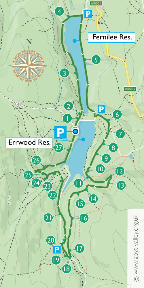
Recorded on a bright afternoon in early June, this eight-mile circuit of both Fernilee and Errwood Reservoirs takes in both the ruins of Errwood Hall and the historic packhorse bridge.
Early summer is an ideal time as the paths on the far side of Errwood can get muddy in the winter and the ferns won’t be too dense. An added bonus is that the rhododendrons around the ruins will be in full bloom.
But having said that, this is a hugely rewarding walk whatever the time of year and weather.
Above: A ‘Relive’ version of the walk. Click to play and use the expand option to view in full-screen. Click here for more Goyt Valley ‘Relives’.
Above: Click map to enlarge. And click here to download an A4 map of the route.
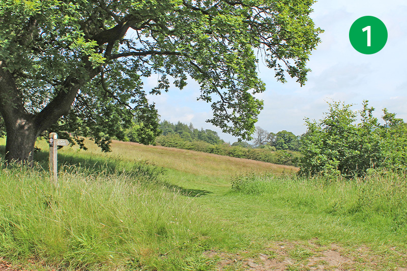
1: The walk starts from the main car park beside the dam separating the twin reservoirs. But you could start it from any of the smaller car parks marked on the map. Simply head diagonally left down the slope, following the sign to Fernilee Reservoir.
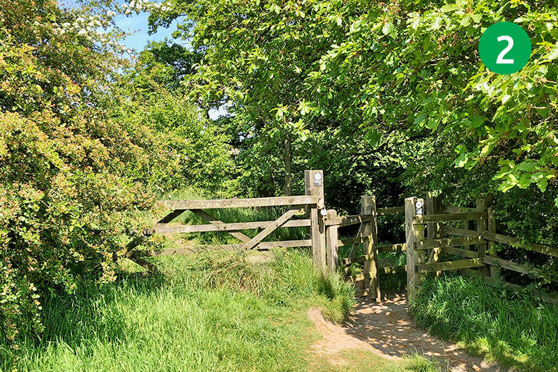
2: Follow the obvious path through two wooden stiles, ignoring paths to both left and right, and head in a straight line down the slope to meet the main track running alongside the reservoir.
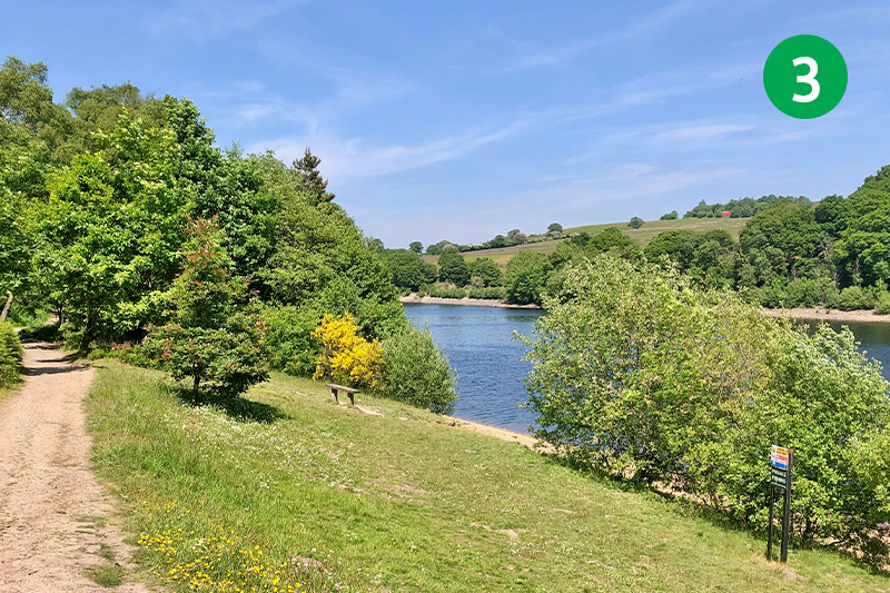
3: Keep the reservoir on your right and follow it for some distance until the track rises up a series of steps to reach the ‘Woodland Path’. Turn right and continue along the path until you exit through a wooden gate, and then turn right down the narrow lane to reach a small car park.
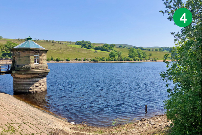
4: Cross the dam at the northern end of Fernilee Reservoir. There are some fantastic views from here across the waters. It’s difficult to imagine, but a short distance from here, under the reservoir, lie the remains of Fernilee Gunpowder Mill.
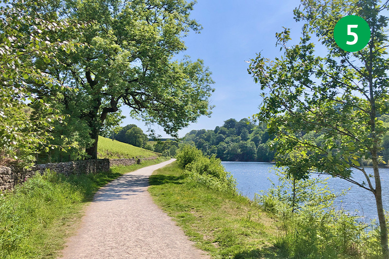
5: Once across the dam, turn right and follow this wide track along the entire length of the reservoir. This was once part of the Cromford & High Peak Railway. There’s lots of information on the website about this line which once connected important canals in Cromford and Whaley Bridge.
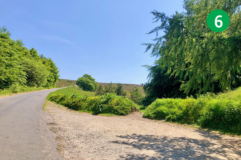
6: Follow the track up the slope and turn left when it meets the road. This is the Bunsal Incline; the steepest of six gradients on the C&HPR where wagons were once hauled up and down. Look out for a small lay-by on the right, a short distance up the slope.
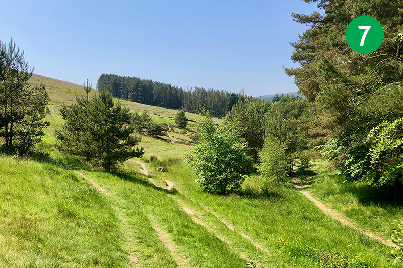
7: There are a number of tracks running behind the lay-by. Take the centre one that leads to a copse of trees in the far distance. The one on the left leads up to a tunnel which once ran under the railway line. The one on the right leads to a path running beside the reservoir. This is an attractive alternative route but can get difficult in winter, or when the water level rises.
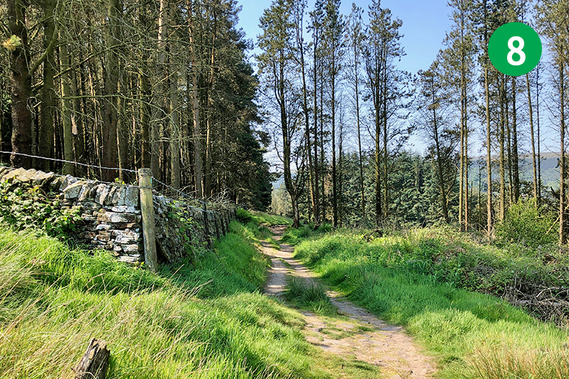
8: Follow this narrow path through the trees, keeping to the right of a stone wall.
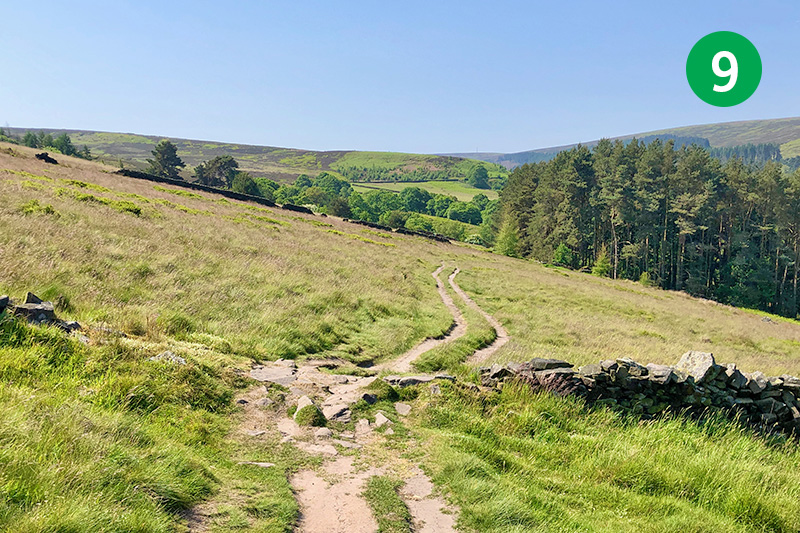
9: Continue along this path as it crosses the moorland. There are fine views of Errwood Reservoir on the right. The hamlet of Goyt’s Bridge once lay half way across the reservoir, opposite the modern bridge. Again, there are lots of photos and information about this historic crossing-point over the Goyt on the website.
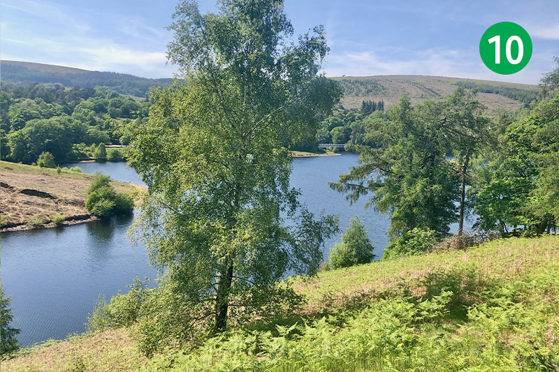
10: At the end of this track you come to a viewing spot over the reservoir with a bench which is a perfect spot to rest a while. The track coming down the slope is Old Goyts Lane (see walk 10). It was the main route into Goyt’s Bridge from the Buxton to Whaley Bridge Long Hill road before the reservoir was flooded in 1968.
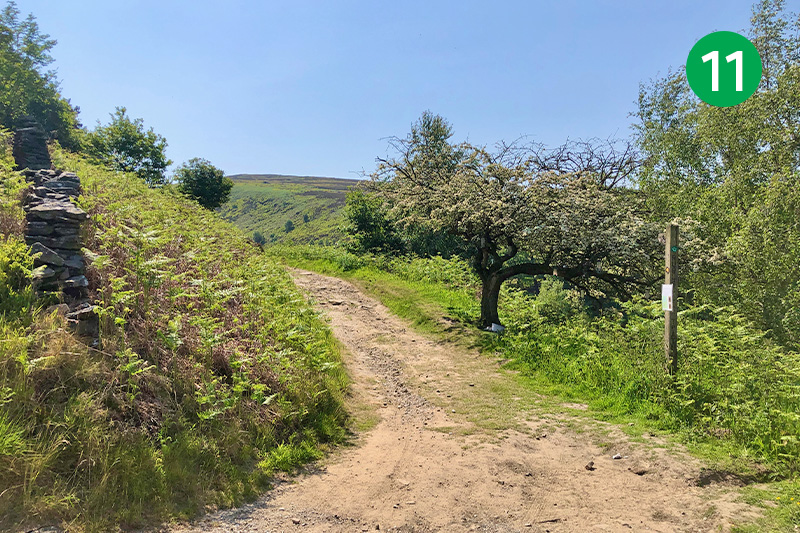
11: Continue in the same direction for some distance, past a tree with many bird-feeders on the right and then an old lime kiln on the left, until you reach a footbridge on the right.
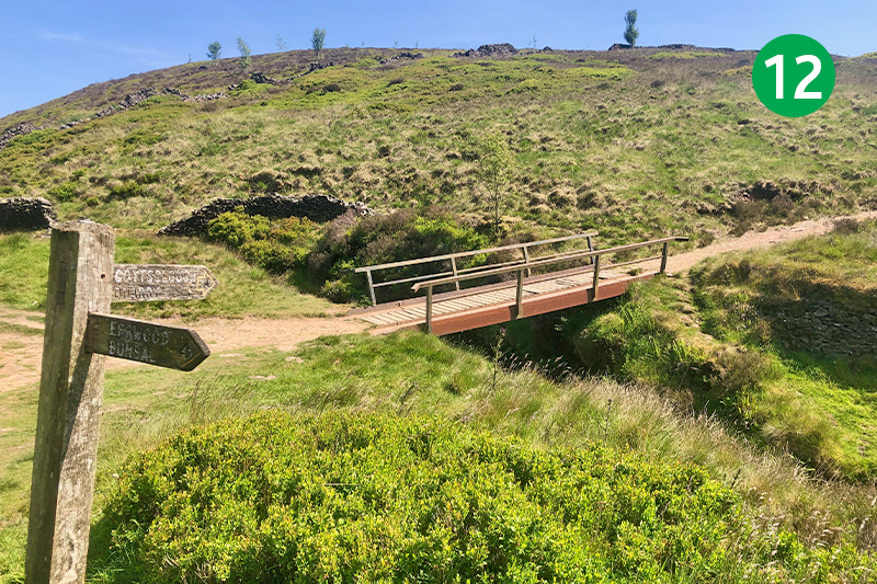
12: Cross the footbridge and head up the gradual slope, following the footpath sign to Goytsclough Quarry. (The track straight ahead eventually reaches back up to the disused railway line – see walk 27.)
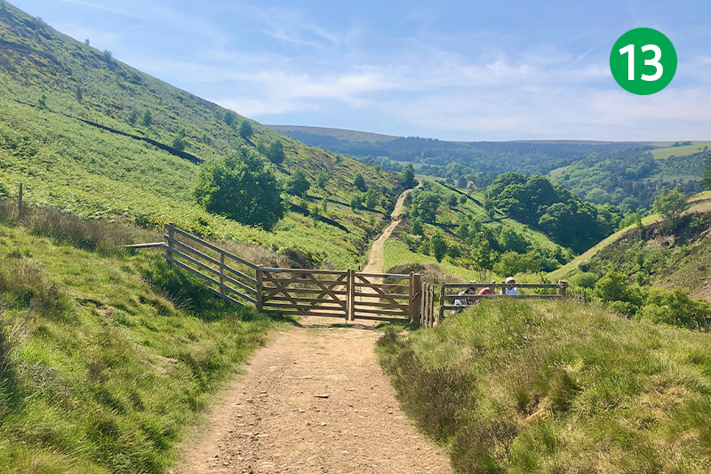
13: Follow this track for some distance, passing through a couple of wide gates, until it winds around to the left near the top of the slope.
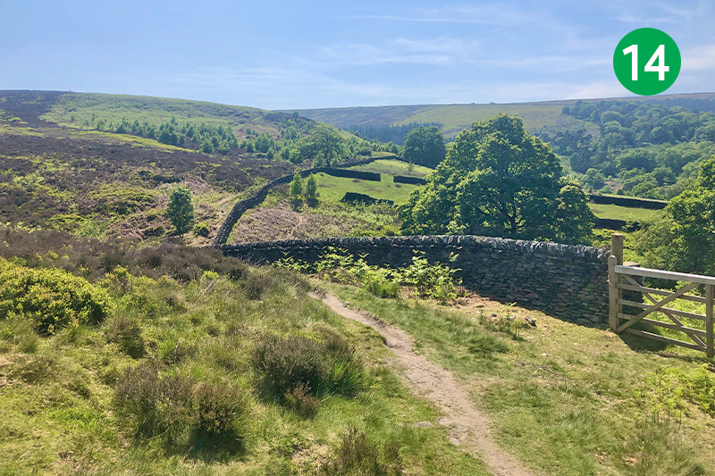
14: Look out for a footpath sign on the right marked ‘Goytsclough Quarry’ and follow this down the slope, keeping the stone wall on your right.
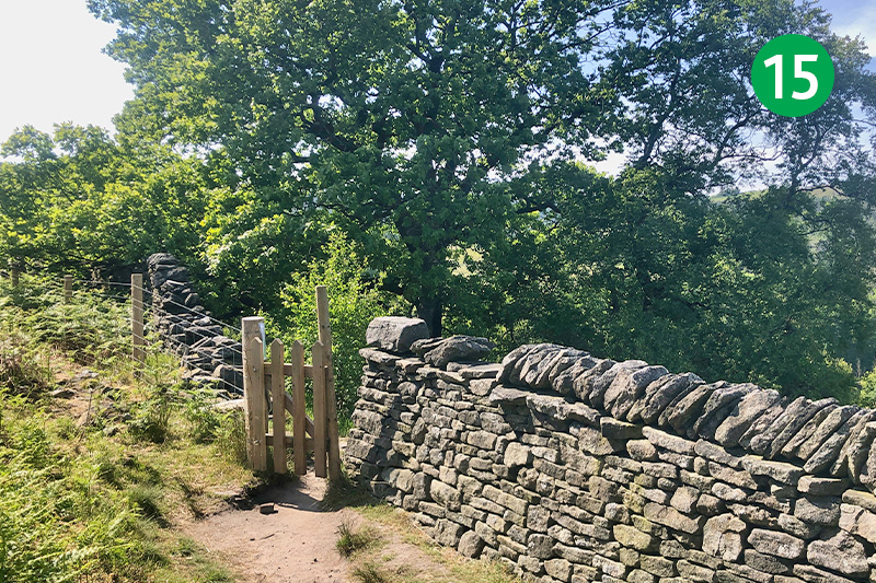
15: After some distance, go through a small gate in the stone wall and continue in the same direction along the narrow path. There are some great views of Errwood Reservoir on the right. Fernilee is out of sight, beyond the end of Errwood.
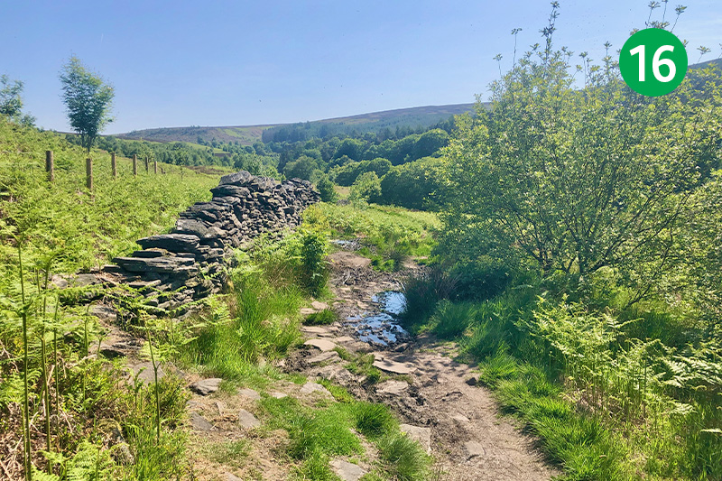
16: From here the path can get quite muddy in the winter or after rain, but you should always be able to find a way through if you head in the same direction, choosing the driest route.
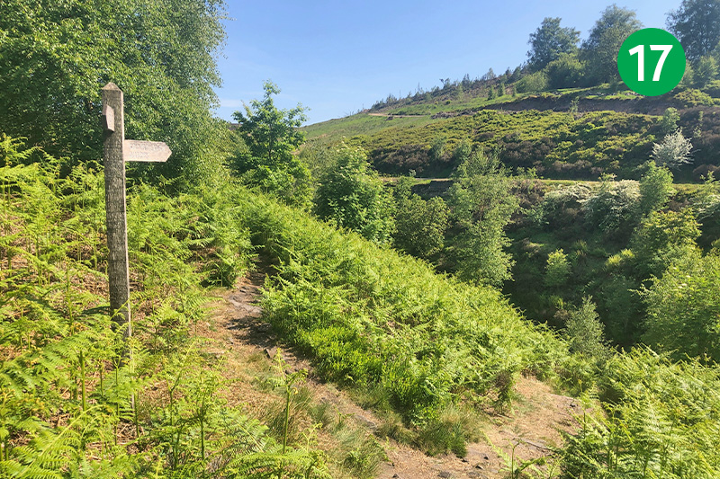
17: The ferns on this section of the walk can get quite high and dense during late summer. Eventually you come to a footpath sign on your left. Follow this down the slope to your right to reach the small packhorse bridge.
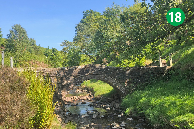
18: This packhorse bridge once stood in the heart of Goyt’s Bridge and was moved here in 1965 just before the flooding of Errwood Reservoir. There’s lots of information on the website about this historic crossing point. Cross over the Goyt, heading up the slope on the other side, and turn right along the lane.
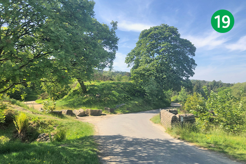
19: This area is known as Goytsclough. It was once a hive of industrial activity, with the second largest waterwheel in the country powering a mill, and a large stone quarry from where the original Mr Pickford once transported slabs to pave Regent Street. The parking areas on the left were once used to load horse-drawn wagons.
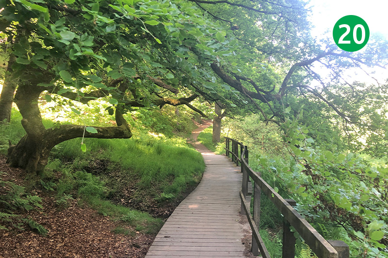
20: Look out for a footpath sign on the right, just past the no-entry signs, marked ‘Riverside walk’. Follow this down some fairly steep steps to reach the River Goyt. (If the steps are too steep for you, simply continue along the road to reach point 20.) Follow this attractive path until you exit through a small wooden gate.
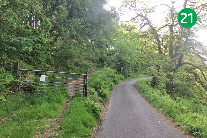
21: Cross the lane and go up some steps behind the metal gate and follow this track for some distance, keeping the stone wall on your right.
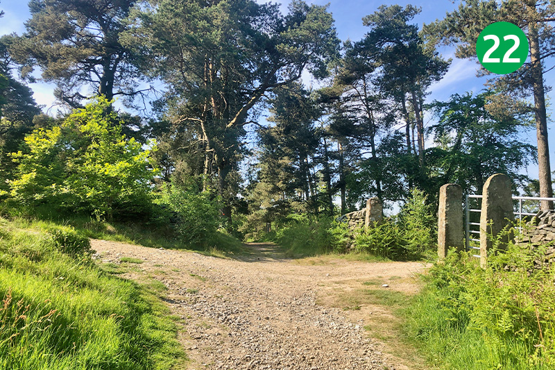
22: Eventually you meet a crossing of tracks. The one on the left goes up to Stakeside and on to the famous Cat & Fiddle Inn. The one on the right leads down to Errwood Hall carpark. Keep in the same direction, following it around to the left and down the slope.
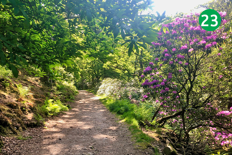
23: At the foot of the slope, look back to your right and you will see the original drive which once led from Goyt’s Bridge to Errwood Hall disappearing into the undergrowth. Keep in the same direction up the slope and follow it around to the right to reach the ruins of Errwood Hall.
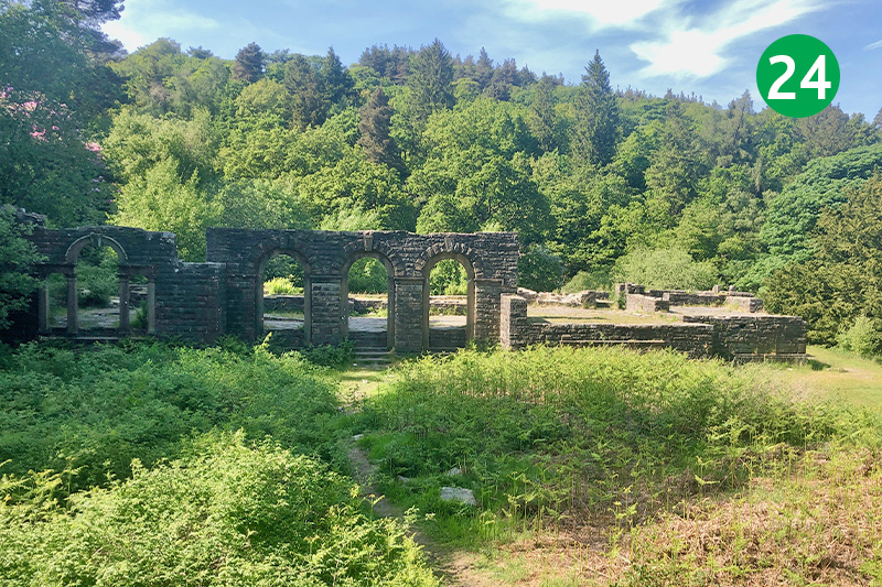
24: There’s lots of information on this website about the history of Errwood Hall. Built in the 1840s and demolished less than 100 years later, it was home to the Grimshawe family. The entire estate was sold to Stockport Corporation to build the twin reservoirs, following the death of the last of the family in 1930.
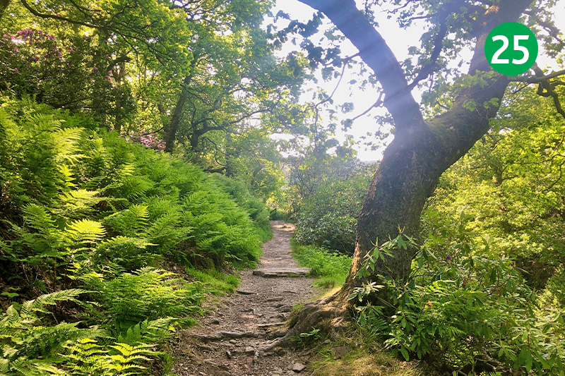
25: To view the Grimshawe’s hill-top cemetery, go up the steps to the far left of the hall gardens and follow the path as it winds up the slope. But to continue this walk, keep the ruins on your left and follow the path as it winds down a series of rough steps to reach a small stream. Then take the track on your right up the slope.
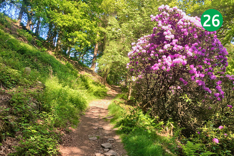
26: Follow this path up the slope, turning right at the top and heading down to reach the road running alongside Errwood Reservoir. (Turning left at the top of the slope will take you up to Foxlow Edge (see walk 17).
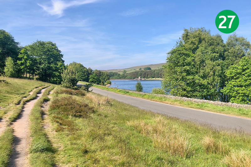
27: Turn left along the lane to return to the starting point. There’s a footpath on the left if you prefer not to walk on tarmac. Errwood Reservoir was completed in 1968, some 31 years after Fernilee. The delay was said to be due to lack of money and manpower following WW2.
