Goyt Valley walk 26: Windgather Rocks to Shining Tor
Walk distance: 11 miles | Date recorded: May 2022
Start point: Goyt Valley main car park (SK17 6SX) | Google Map
Map app: View on OutdoorActive | Contact me for GPX file
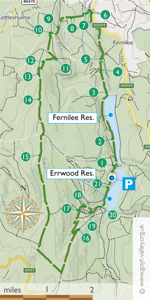
Recorded in early May, this 11-mile circular walk starts from the main car park beside the twin reservoirs, on the opposite side from the sailing club (SK17 6GJ).
It passes along the west bank of Fernilee Reservoir, then beside the River Goyt to the picturesque hamlet of Taxal, before heading up a steepish climb to Taxal Edge, and on to Windgather Rocks.
There are some wonderful views from here all the way to Shining Tor before dropping down to visit the ruins of Errwood Hall.
Above: A ‘Relive’ version of the walk. Click to play and use the expand option to view in full-screen. Click here for more Goyt Valley ‘Relives’.
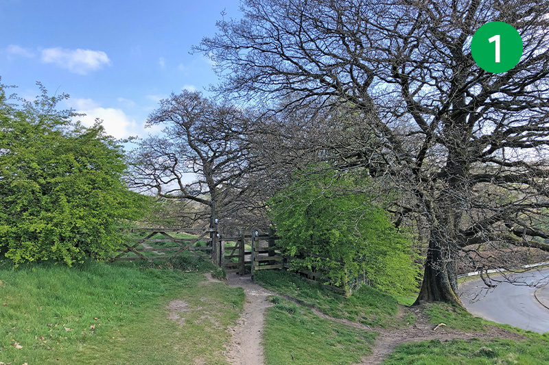
1: From the main car park head left, down the slope, following the footpath sign marked Fernilee Reservoir towards a small gate. Through here and follow the middle path diagonally right down the slope, through another gate, to reach the shoreline path along Fernilee.
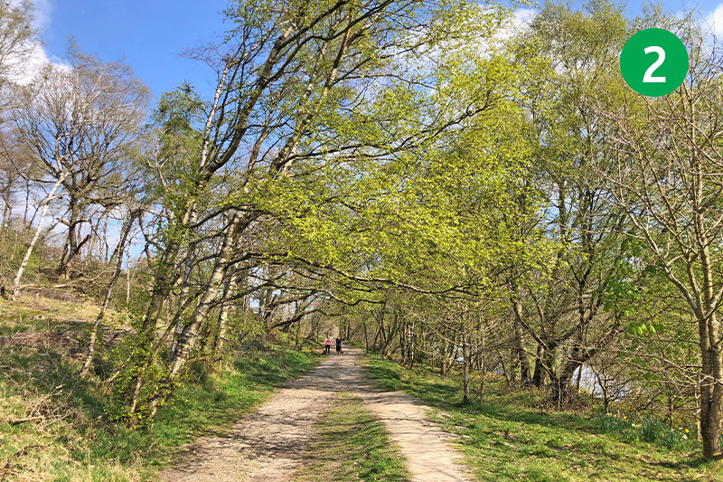
2: Follow this path for some distance with the reservoir on your right until it rises gently up the slope, then climb the steps to meet a wider track, known as the Woodland Path. Turn right along here until you exit a wide gate onto a tarmac lane. Turn right and then follow the lane around to the left, past a small carpark.
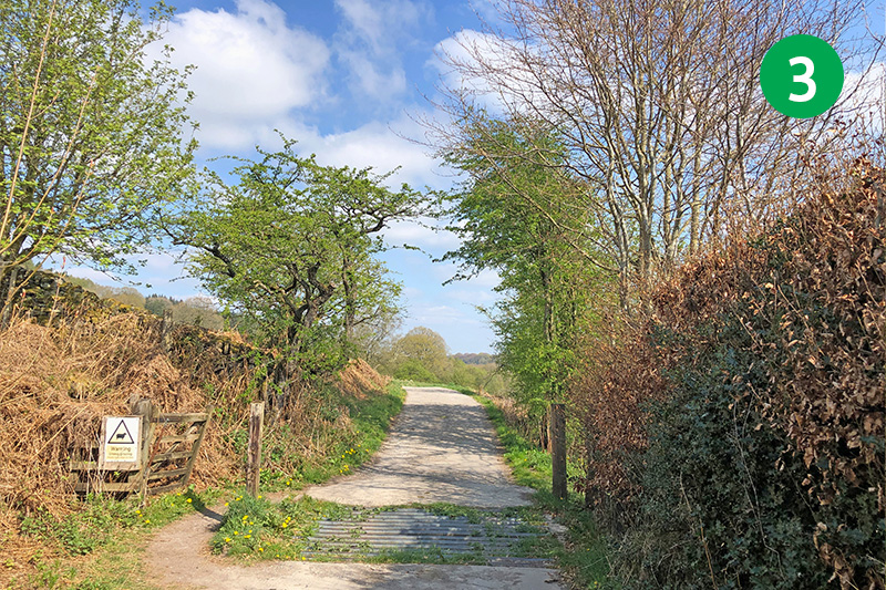
3: Go over the cattle grid and follow this farm track for some distance until you see a small gate on the right, shortly before a farmhouse.
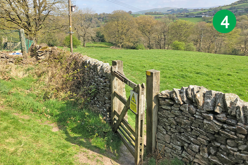
4: Go through the gate and head diagonally left down the slope, over a series of stiles. Go through a wider gate and follow the track as it winds down the slope.
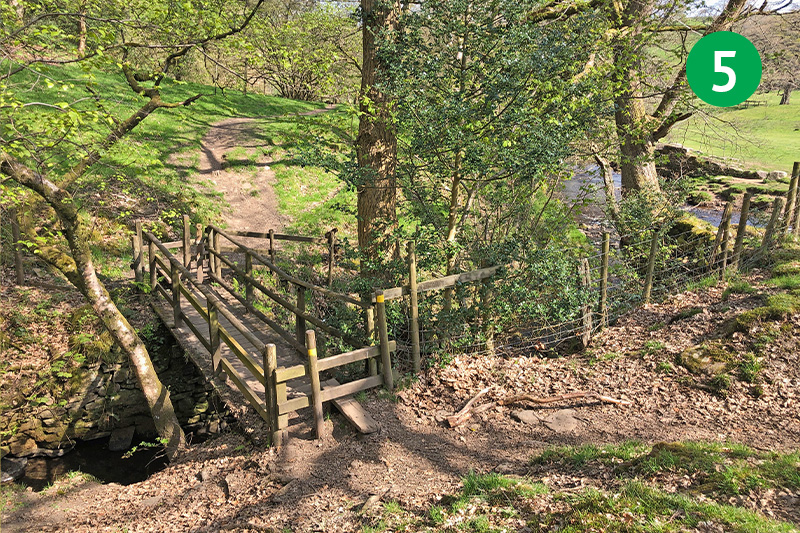
5: At the foot of the slope, cross a small footbridge, then turn immediately right to cross the Goyt over another footbridge. And then left, following the obvious path for some distance along the bank of the river.
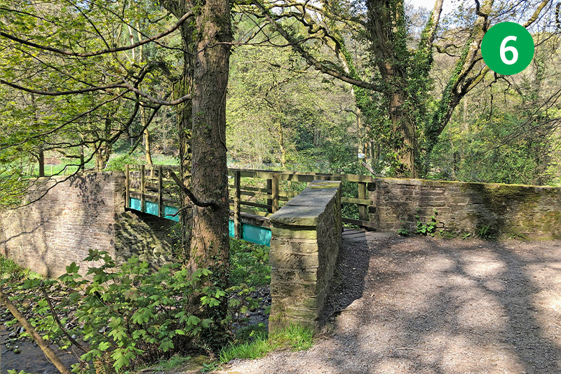
6: Follow the path until you exit the woodland through a wide gate. Head left down the slope and cross the footpath beside a ford. Head up the narrow lane towards the village of Taxal.
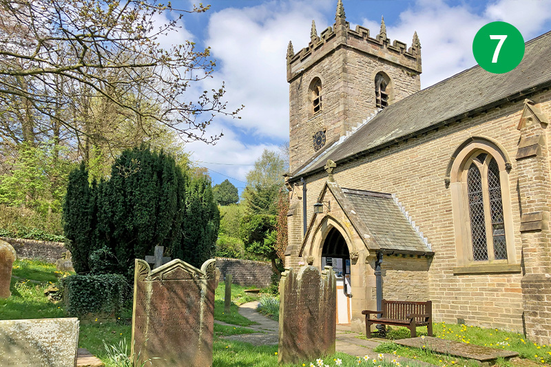
7: Taxal Church is well worth a visit, although it’s usually locked. It contains some fascinating memorials, including one to George II’s food-taster, and another to members of the Jodrell family going back to an archer at Agincourt. There’s also a plaque to Samual Grimshawe of Errwood Hall, and his wife Anne.
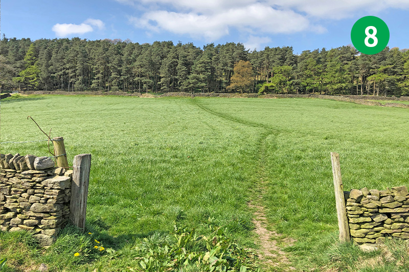
8: Turn left from the church, and then follow the footpath sign a short distance further on the right, heading directly up the slope, crossing two large fields until you can climb a ladder stile to reach the narrow road.
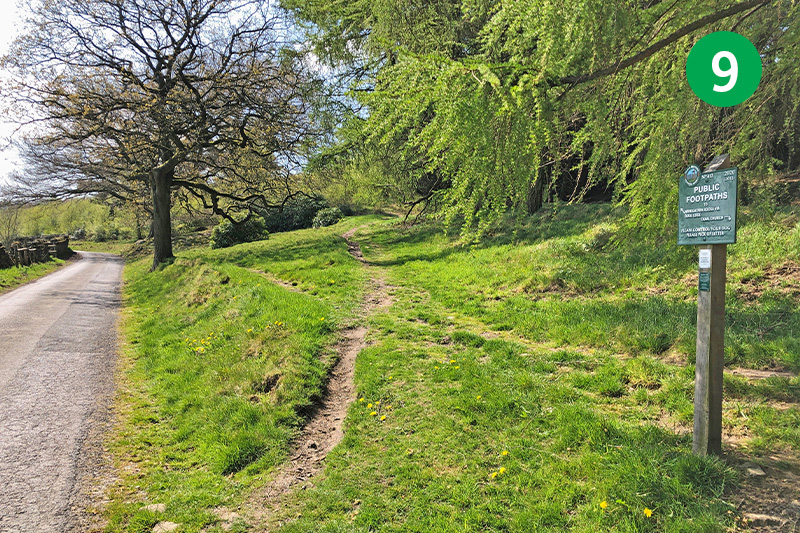
9: Turn left along the lane for a short distance until you see a footpath sign on the right to Windgather Rocks. Head up the obvious path as it winds up the slope to reach the top of Taxal Edge.
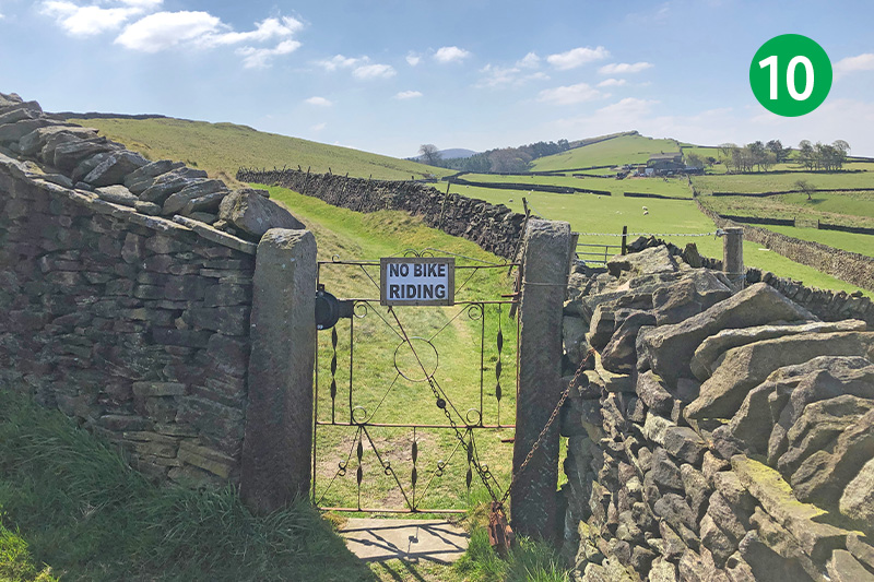
10: Turn left and go through a small metal gate in the stone wall on your right. Follow the obvious track across the fields, heading towards Windgather Rocks high on the horizon. Keep to the left of the stone wall as it rises up the slope until you can exit through a small stile in the stone wall.
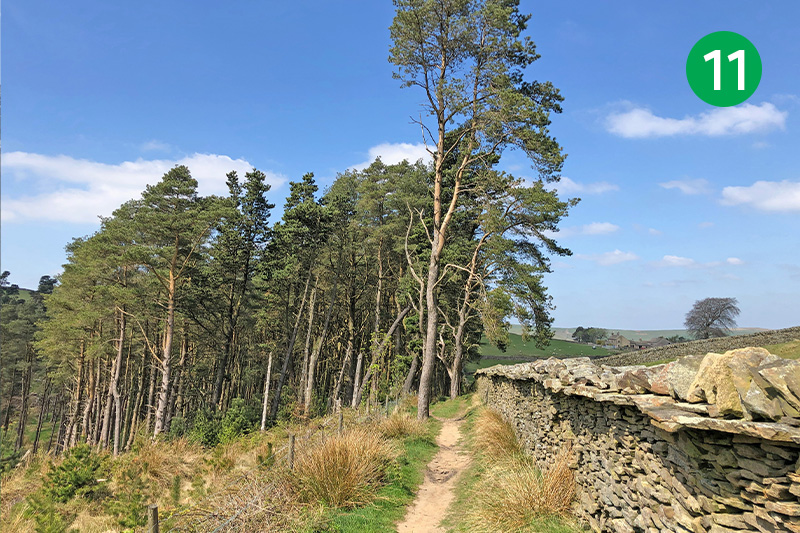
11: Turn right, keeping the stone wall on your right, and then follow the narrow track as it winds down to the left through the trees and up the other side.
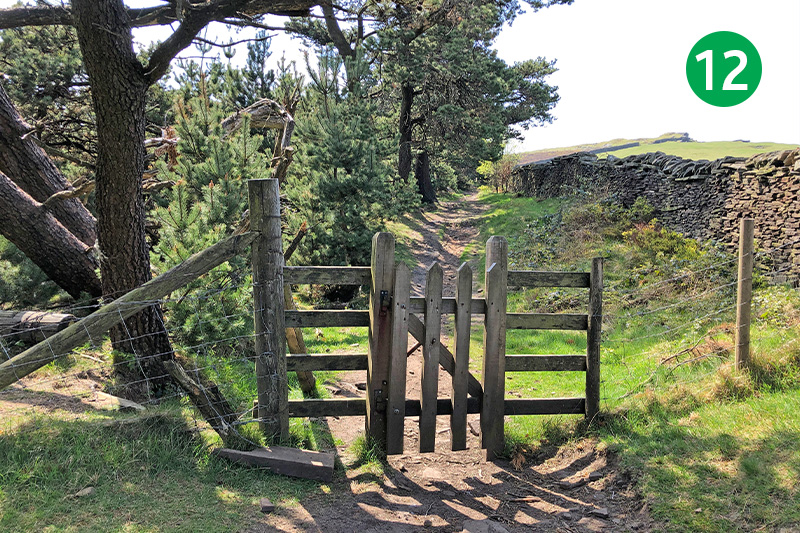
12: Turn left at the top of the slope, passing through a small wooden gate, and follow the path to the right of the trees, keeping the stone wall on your right. Follow it around to the right and then head up the slope to reach Windgather Rocks.
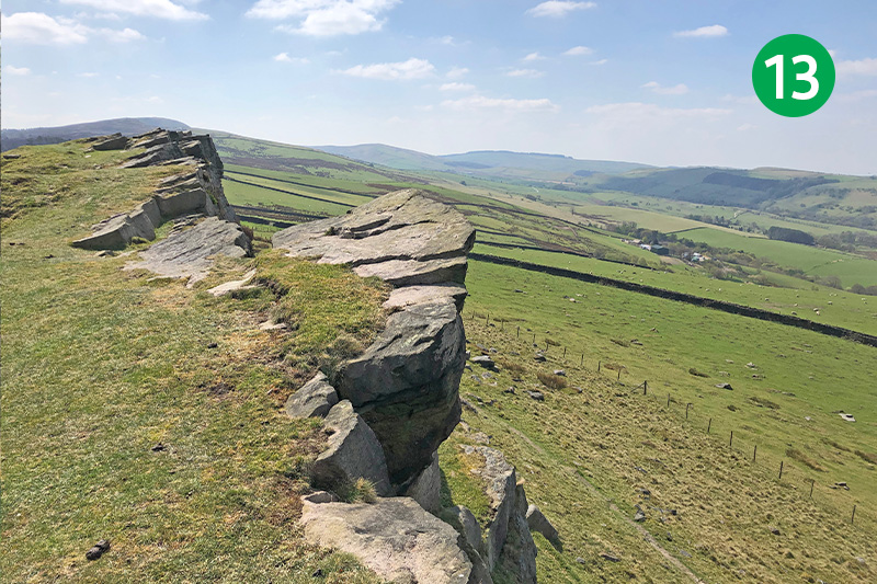
13: There are some wonderful views from the rocks, with the small village of Kettleshulme on the right. It’s a perfect spot to rest awhile. The road below leads left towards Pym Chair.
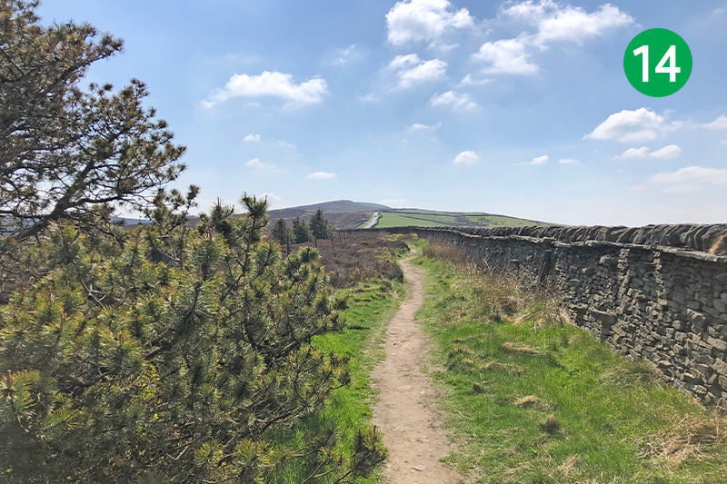
14: Head left along the ridge, following the obvious path which eventually drops down towards the road. Keep to the left of the stone wall for some distance until you can take another path which forks slightly to the left, cutting the corner towards the old Roman road marked on maps as The Street, and also known as Embridge Causeway.
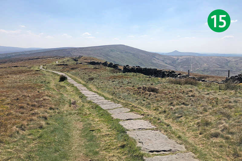
15: Cross the road and go slightly right through a small wooden gate up the slope on the other side. This path takes you along The Tors, passing Cats Tor first, and eventually leading all the way to Shining Tor. You should be able to see Shutlingsloe in the far distance, also known as the Cheshire Matterhorn.
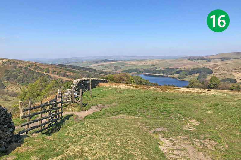
16: From Shining Tor, follow the track around to the left for some distance until you exit through a small gate. On the right you should be able to see the aerial mast at the Cat & Fiddle. Head left, keeping the stone wall on your left until you see Errwood Reservoir in the distance, and then go left through a gate.
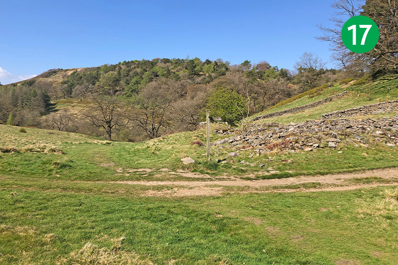
17: Follow the path as it winds down the slope to reach a small stream (ignore a footpath sign on the right about half way down). Cross the stream and follow the path to the right until you come to a wider track. Ahead are the ruins of Castedge Cottage. (A path behind the ruins leads up the slope to the Grimshawe’s graveyard.) Important update: see note below walk description.
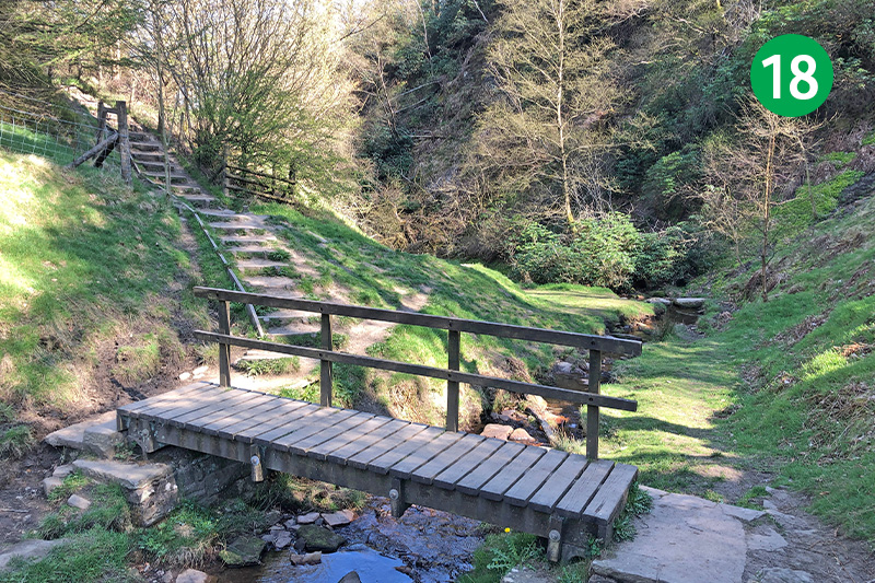
18: Keep in the same direction, with the ruins on your right, down the slope to cross a small footbridge. Turn right half way up the other side and cross another footbridge. This path eventually leads to the ruins of Errwood Hall.
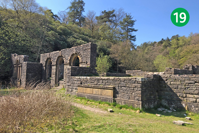
19: There’s lots of information on the website about Errwood Hall, as well as photos showing how it once looked. It was built around 1845 and demolished some 90 years later in the mid 1930s following the death of the last of the Grimshawe family who once lived here. Stockport Corporation purchased the entire estate to build the twin reservoirs.
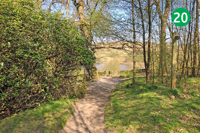
20: From the ruins, continue along the path and then turn left until you see Errwood Reservoir in the distance. Go through the gap in the stone wall and fork slightly left about halfway down the slope to reach the road. The nearby small carpark is an alternative starting point for this walk, and perfect if you want to go back and spend more time exploring the hall ruins.
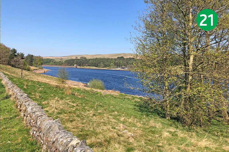
20: Turn left at the road, crossing the metal bridge, all the way to the starting point at the main car park. There’s a path to the left of the road if you want to avoid walking on tarmac. The drowned hamlet of Goyt’s Bridge lies under the water opposite the bridge. Again there’s lots of information on the website about this ancient crossing point over the River Goyt.
