Goyt Valley walk 13: Errwood circular
Walk distance: 5 miles | Date recorded: February 2012 (updated July 2019)
Start point: Errwood Hall car park | Google Map
Map app: View on OutdoorActive | Contact me for GPX file

Above: Click to expand map.
View printable A4 map.
Above: A ‘Relive’ version of the walk recorded in July 2019. Click to play and use the expand button to view in full-screen. And click here for more ‘Relives’.
Walk description & directions
There are some wonderfully panoramic views during this easy and enjoyable 5-mile walk around Errwood Reservoir. The narrow path on the far side of Errwood can get muddy after rain – so walking shoes or boots are a good idea. And the ferns can get a bit overgrown from mid July.
The walk description starts from Errwood Hall car park. But if the road along the reservoir is closed, park at the main car park, and walk to the start point. This is one of my favourite walks in the valley. There are some excellent picnic spots along the way to rest a while and enjoy the views.
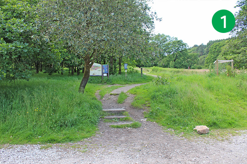
1: From Errwood Hall car park, head up the slope, past the information board, and turn left at the top, keeping the stone wall on your left. (For a short detour, you could take the path that goes straight ahead, down the slope, to visit the ruins of Errwood Hall, returning along the same path.)
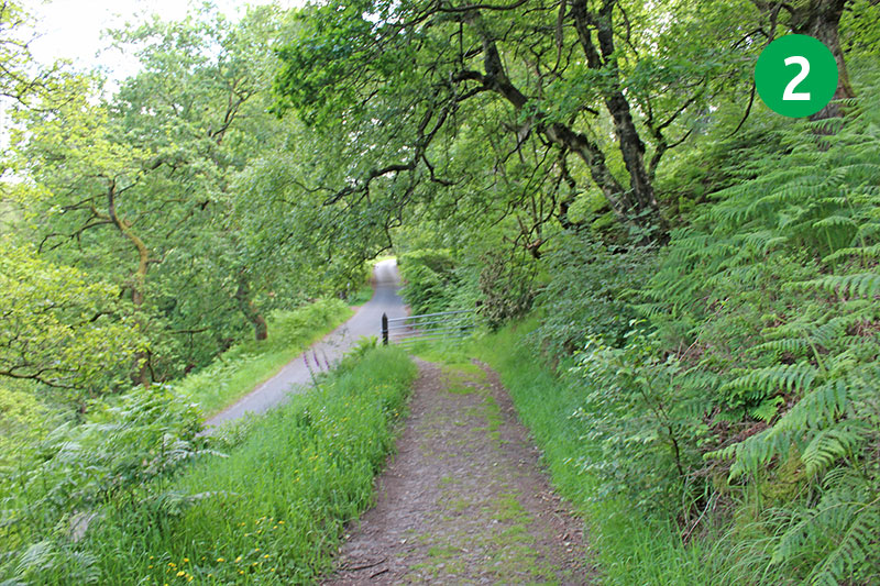
2: Follow this track for some distance, keeping the stone wall on your left, until you reach the single track road.
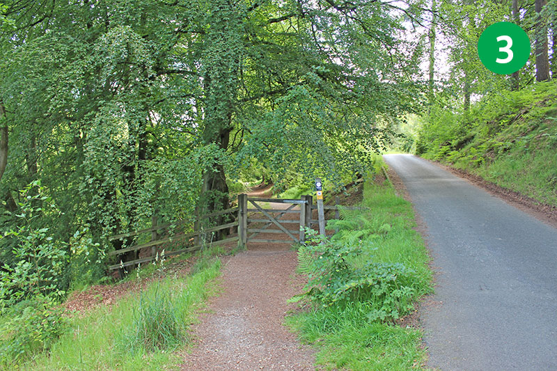
3: Cross the road and go through the small gate on the opposite side. This leads along a track known as the ‘Riverside Path’ which runs down to the River Goyt (which is very much a stream at this point).
4: This picturesque track is wheelchair and pushchair friendly, and provides some idyllic picnic spots alongside the Goyt. It’s one of my favourite places in the valley and shows what wonderful scenery was lost when the reservoirs were constructed.
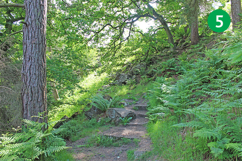
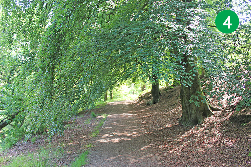
5: At the end of the track, follow the narrow path straight ahead which leads through the trees, and then up a series of winding steps to reach back to the road. This road is one-way only, with traffic coming from your right – from Errwood Reservoir towards Derbyshire Bridge.
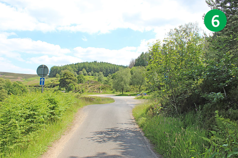
6: Turn left along the road. You soon reach an open area on the right which was once a loading bay for stone from Goytsclough Quarry. Walk further and you will soon see the picturesque Packhorse Bridge spanning the Goyt in the valley to your left.
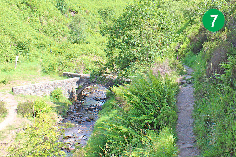
7: Head down the narrow path leading to the ancient bridge and cross over to the other side. A metal plaque explains that it was moved here from the hamlet of Goyt’s Bridge just before it was flooded in 1965. Which is one thing to be thankful to the planners for! *Route update: See directions at the top of this page if the bridge is still closed.
8: From the far side of the bridge, take the narrow path on the left, and then keep to the left as the path divides. This track can get a bit overgrown with ferns from mid-July, but it’s always passable.
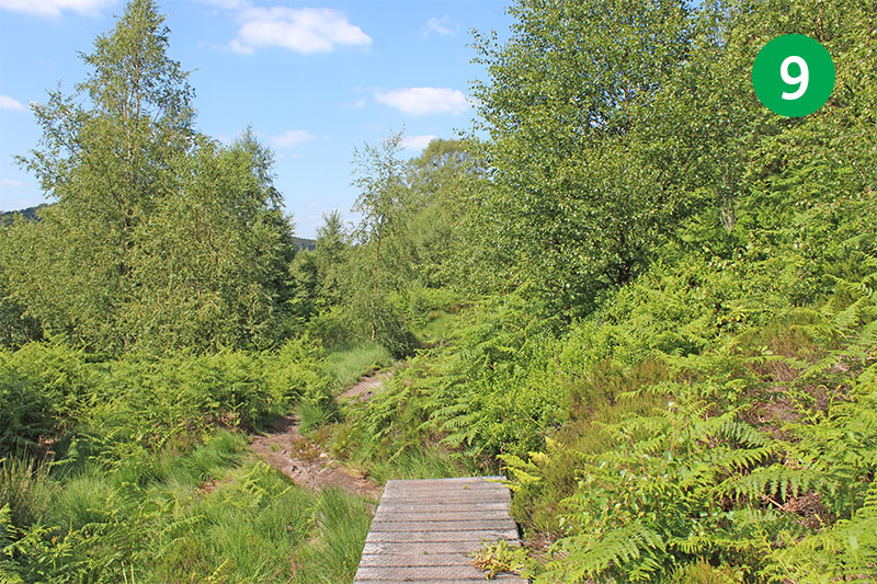
9: This path can also get muddy after rain, but a series of wooden platforms along the route make the going fairly easy. Keep following this path for some distance.
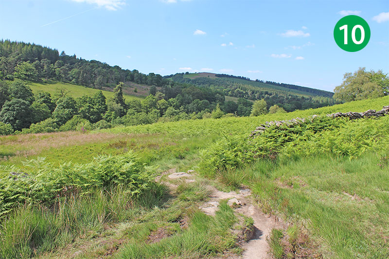
10: Go though the gap in the stone wall, continuing in the same direction, towards the reservoir.
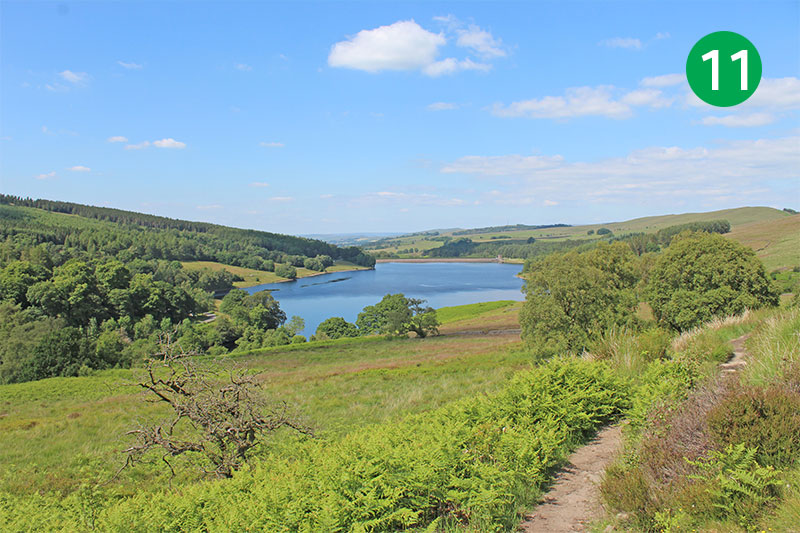
11: Soon you will see Errwood Reservoir nestling in the valley ahead. Keep following the track, keeping to the right of any stone walls. There are some great view points on the left along this path.
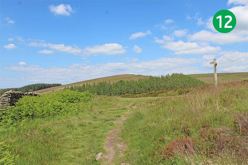
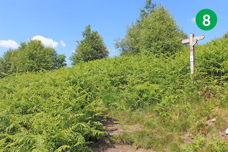
12: Eventually you reach a footpath sign. Follow the sign to the left and towards ‘Errwood’. This wider and more solid track winds down and around the slope.
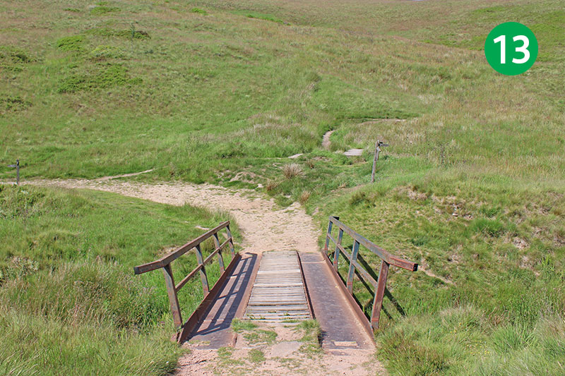
13: At the foot of the slope you reach a small footbridge. The path to your right eventually leads to Burbage on the western edge of Buxton (see walk 9). Take the track which winds around to the left.
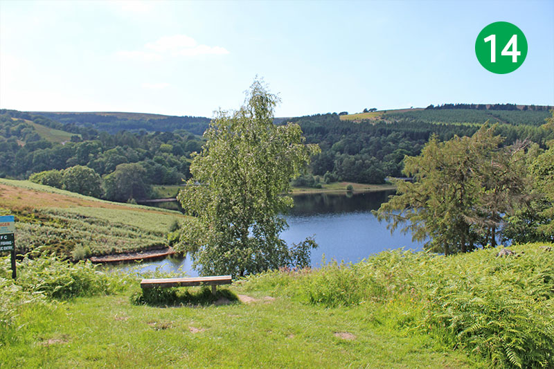
14: There are some well-placed benches when you reach the reservoir. The track coming down the slope from your right at this point is Old Goyt’s Lane (see walk 10) which leads up to the top of the Bunsall Incline. But keep following the path straight ahead, along the side of Errwood Reservoir.
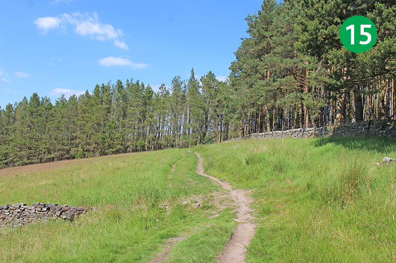
15: Follow this path for some distance with the reservoir on your left as it winds across the side of the valley, through trees and over moorland. Eventually you reach the narrow lane which is the main route into the valley from the Buxton to Whaley Bridge road.
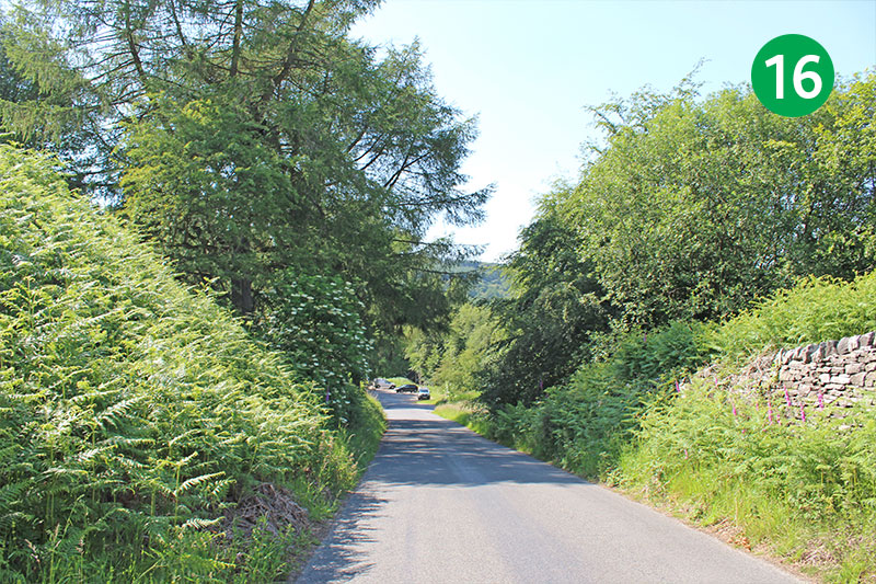
16: Turn left down the road. This is the ‘Bunsall Incline’. Trains were once hauled up and down here using steam-driven pulleys (click for more info). A small plaque further down on the left explains that it was only tarmacced in 1967, during the construction of Errwood Reservoir.
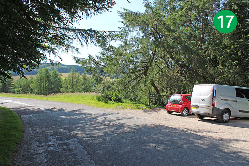
17: Just as the lane winds around to the left, look out for a path on the right. This leads down to Fernilee reservoir. Walk 14 circles this reservoir. (It would add around 4 miles to the walk, but it’s well worth it!) To continue this walk, simply follow the road between the twin reservoirs.
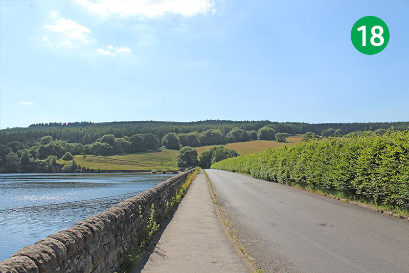
18: There are some wonderful views across Errwood Reservoir from here. Below the water at the far end of the reservoir lie the remains of the small hamlet of Goyt’s Bridge. There’s lots of information on the website about this picturesque spot.
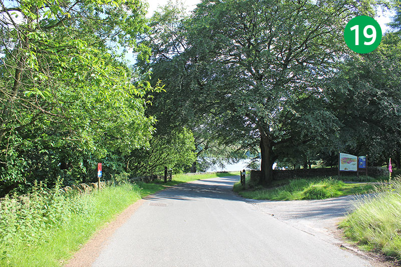
19: Turn left when you get to the top of the slope, walking past the main carpark on your right, and follow the road all the way to the starting point at Errwood Hall carpark. (There’s a footpath just to the right of the road.)
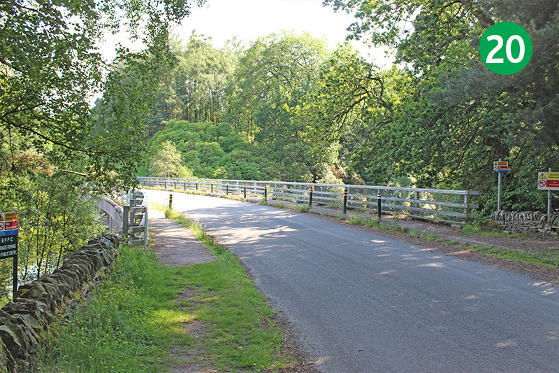
20: As you reach the modern bridge, look over to your right. This was once the lane leading between Goyt’s Bridge and Errwood Hall, the country house of the Grimshawe family who once owned the Errwood Estate before it was purchased by Stockport Corporation in 1930 to build the twin reservoirs.
This YouTube video was created using photos taken when I first recorded the walk in February 2012. I’ve updated the photos since then as the walk looks so much better bathed in summer sunshine. But there’s always something uniquely magical about the Valley at this time of year.